Pineville in Rapides Parish, Louisiana — The American South (West South Central)
Pineville #2
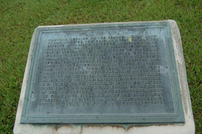
Pineville, located on the Edmund Murphy Land Grant, part of the original Post du Rapide, offered a variety of goods and services to early settlers. Traders Beauboeuf, Poussin, and David brought the first stores to Pineville where the streets became the hub of early commerce. Shops included Christian Baden's Cooperage, Theodore Schaedel's Furniture and Building Trade, bootmaking and jewelry shops and Beauboeuf's Famous Pork Sausage. Louis Abadie furnished meat from his market to riverboats. The Boyce and David families played major roles in early developement of Pineville. C.W. Boyce, Police Juror and Editor of the Red River Democrat, lived in the center of the block in 1883, his brother-in-law, Ben Turner built the first brick store at Main and Riverfront streets. Boyce's son-in-law, Alphonse David built his home at Main and David streets.
Erected by City of Pineville.
Topics. This historical marker is listed in this topic list: Settlements & Settlers.
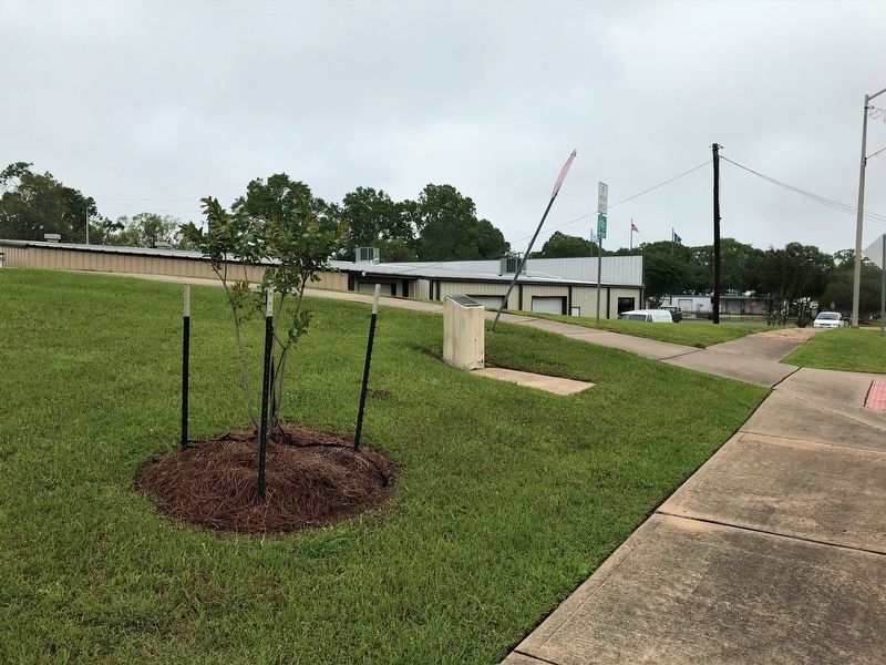
Location. 31° 18.888′ N, 92° 26.489′ W. Marker is in Pineville, Louisiana, in Rapides Parish. Marker is on Main Street east of Riverfront Street, on the right when traveling east. Touch for map. Marker is in this post office area: Pineville LA 71360, United States of America. Touch for directions.
Other nearby markers. At least 8 other markers are within walking distance of this marker. Pineville #1 (within shouting distance of this marker); Pineville River Front Trail (within shouting distance of this marker); Pineville #3 (about 300 feet away, measured in a direct line); Old Rapides Cemetery (about 400 feet away); 200 Block of Main Street (about 600 feet away); The Jewish Cemetery (approx. 0.2 miles away); 300 Block Main Street (approx. 0.2 miles away); Rapides Cemetery (approx. 0.2 miles away). Touch for a list and map of all markers in Pineville.
Credits. This page was last revised on April 20, 2018. It was originally submitted on April 20, 2018, by Cajun Scrambler of Assumption, Louisiana. This page has been viewed 185 times since then and 8 times this year. Photos: 1, 2. submitted on April 20, 2018.

