Austin in Lonoke County, Arkansas — The American South (West South Central)
Austin
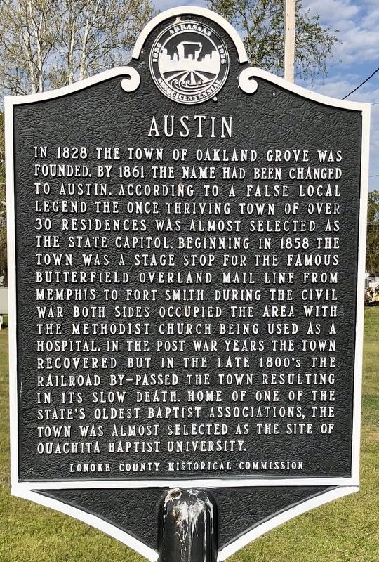
Photographed by Mark Hilton, April 9, 2018
1. Austin Marker
Erected by Lonoke County Historical Commission.
Topics. This historical marker is listed in these topic lists: Railroads & Streetcars • Religion & Religious Structures • Settlements & Settlers. A significant historical year for this entry is 1828.
Location. 34° 59.034′ N, 91° 57.912′ W. Marker is in Austin, Arkansas, in Lonoke County. It is at the intersection of Arkansas Route 38 and Ray Sowell Road, on the right when traveling east on Arkansas Route 38. Touch for map. Marker is in this post office area: Austin AR 72007, United States of America. Touch for directions.

Regionally, this marker is in the Little Rock Metropolitan Area. It is also in the American South and specifically in the Upper South. Globally, it is in North America, the Western Hemisphere, the Western World, and the Anglosphere. Historically, it finds itself in what was once the territory of the Mississippian Culture, the Louisiana Purchase, one of the Confederate States of America, and the Antebellum South.
Other nearby markers. At least 8 other markers are within 8 miles of this marker, measured as the crow flies: Oakland Grove (Old Austin)
this page online
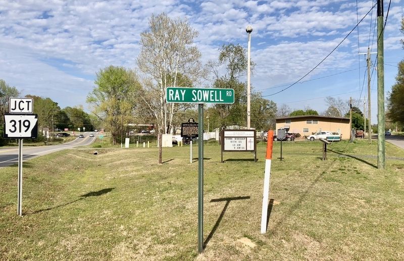
Photographed by Mark Hilton, April 9, 2018
2. Austin Marker is on right of orange tipped fiber-optic pole.
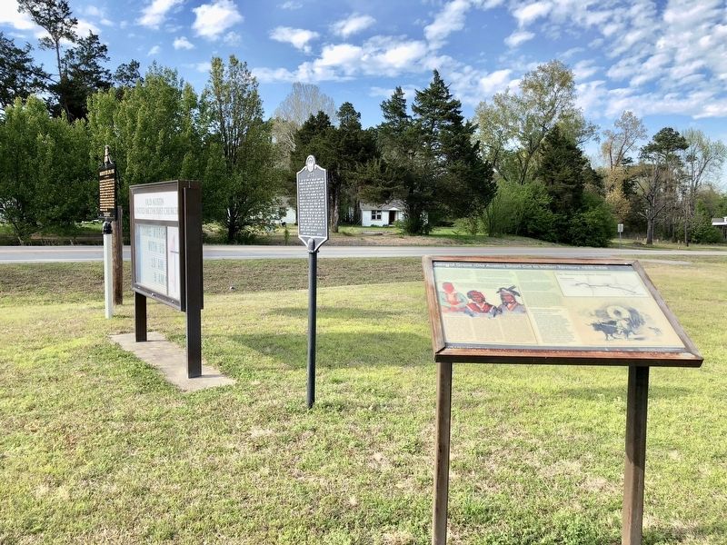
Photographed by Mark Hilton, April 9, 2018
3. Looking northeasterly towards the Austin marker.
Credits. This page was last revised on April 20, 2018. It was originally submitted on April 20, 2018, by Mark Hilton of Montgomery, Alabama. This page has been viewed 668 times since then and 59 times this year. Photos: 1, 2, 3. submitted on April 20, 2018, by Mark Hilton of Montgomery, Alabama.
