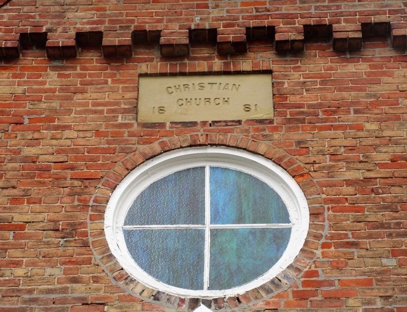
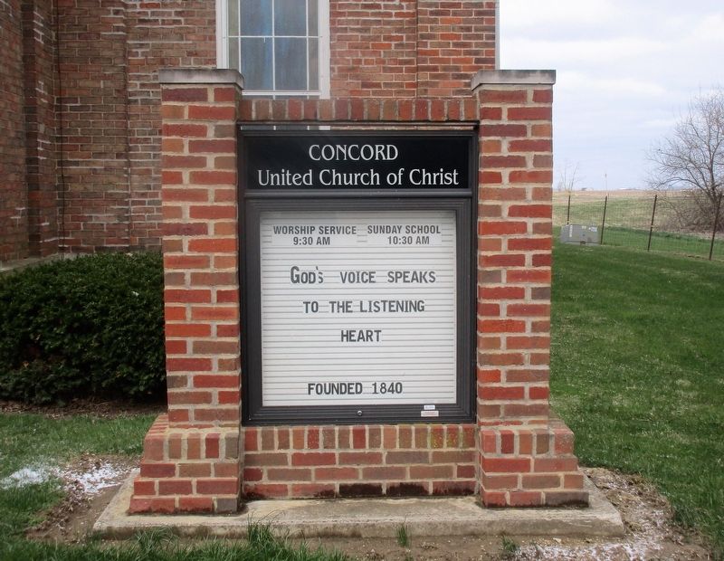
The Concord Church
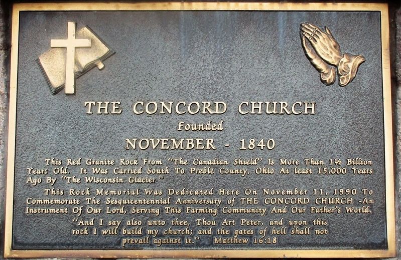
founded
November - 1840
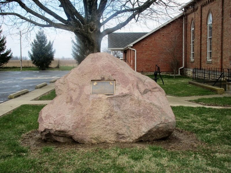
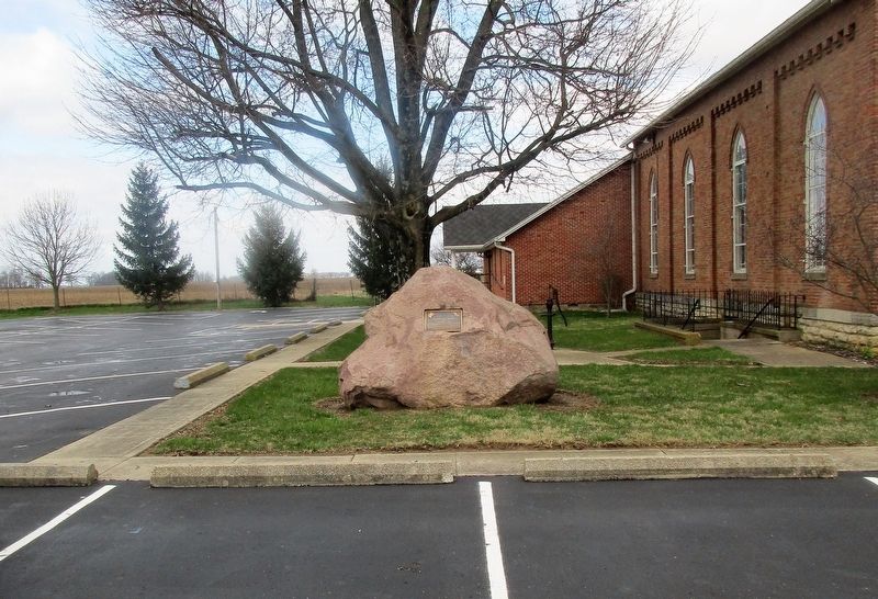
This red granite rock from the “Canadian Shield” is more than 1 ½ billion years old. It was carried south to Preble County, Ohio at least 15,000 years ago by “The Wisconsin Glacier.”
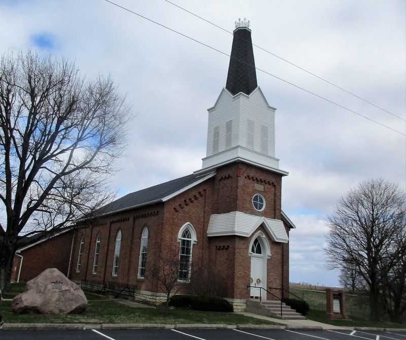
This rock memorial was dedicated here on November 11, 1990 to commemorate the sesquicentennial anniversary of the Concord Church - An instrument of Our Lord, serving this farming community and Our Father’s World.
“And I say also unto thee, Thou art Peter, and upon this
rock I will build my church; and the gates of hell shall not
prevail against it.” Matthew 16:18
Erected 1990.
Topics. This historical marker is listed in this topic list: Religion & Religious Structures.
Location. 39° 42.795′ N, 84° 46.187′ W. Marker is in Eaton, Ohio, in Preble County. It is at the intersection of Concord Fairhaven Rd and Concord Rd (County Route 97), on the right when traveling south on Concord Fairhaven Rd. Touch for map. Marker is at or near this postal address: 2225 Concord Fairhaven Rd, Eaton OH
this page online

Regionally, this marker is in the Till Plains. It is also in the American Midwest and in the Corn Belt. Globally, it is in North America, the Western Hemisphere, the Western World, and the Anglosphere. Historically, it finds itself in what was once the Haudenosaunee (Iroquois) Confederacy, the territory of the Mississippian Culture, and the Northwest Territory.
Other nearby markers. At least 8 other markers are within 7 miles of this marker, measured as the crow flies: Harshman Bridge (approx. ¾ mile away); Bunker Hill House (approx. 5.3 miles away); Mary Lander (approx. 6.2 miles away); Preble County Veterans Memorial (approx. 6.3 miles away); The Whispering Oak (approx. 6.3 miles away); Ortt Fort Saint Clair Memorial (approx. 6.3 miles away); Physicians in the Indian Wars / Roster of Physicians in the Indian Wars (approx. 6.3 miles away); World War I Memorial (approx. 6.3 miles away). Touch for a list and map of all markers in Eaton.
Credits. This page was last revised on April 23, 2018. It was originally submitted on April 21, 2018, by Rev. Ronald Irick of West Liberty, Ohio. This page has been viewed 746 times since then and 47 times this year. Photos: 1, 2, 3, 4, 5, 6. submitted on April 21, 2018, by Rev. Ronald Irick of West Liberty, Ohio. • Andrew Ruppenstein was the editor who published this page.
