
Liberty in Liberty County, Texas — The American South (West South Central)
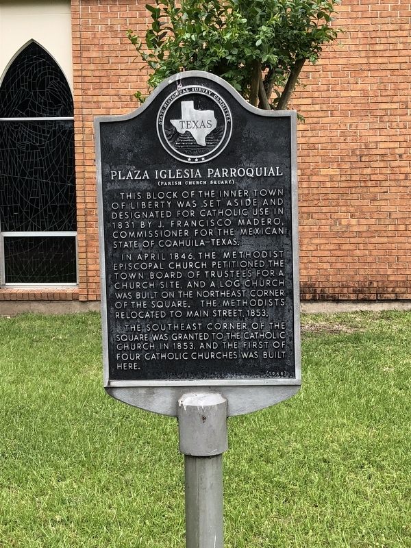
Plaza Iglesia Parroquial
(Parish Church Square)
Photographed by Brian Anderson, April 22, 2018
1. Plaza Iglesia Parroquial Marker
In April 1846, the Methodist Episcopal Church petitioned the town board of trustees for a church site, and a log church was built on the northeast corner of the square. the Methodists relocated to Main Street, 1853.
The southeast corner of the square was granted to the Catholic Church in 1853, and the first of four Catholic churches was built here.
Erected 1968 by State Historical Survey Committee. (Marker Number 9681.)
Topics. This historical marker is listed in this topic list: Religion & Religious Structures. A significant historical year for this entry is 1831.
Location. 30° 3.529′ N, 94° 47.918′ W. Marker is in Liberty, Texas, in Liberty County. It is on Sam Houston Street west of Milam Street, on the right when traveling west. Marker is located on the south side of the Immaculate Conception Catholic Church. Touch for map. Marker is at or near this postal address: 411 Milam Street, Liberty TX 77575, United States of America. Touch for directions.

Regionally,
this page online
Other nearby markers. At least 8 other markers are within walking distance of this marker: Seven Pines (within shouting distance of this marker); Site of Liberty's Ursuline Convent (about 300 feet away, measured in a direct line); Plaza Constitucional (about 500 feet away); Ott Hotel (about 600 feet away); James B. Woods (about 600 feet away); Col. Edward Bradford Pickett (about 700 feet away); The Seven Courthouses of Liberty County (about 700 feet away); Casa Consistatorial (Courthouse Square) (about 700 feet away). Touch for a list and map of all markers in Liberty.
Photographed by James Hulse, September 22, 2022
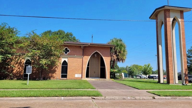
2. The view of the Plaza Iglesia Parroquial Marker in front of the church
Photographed by James Hulse, September 22, 2022
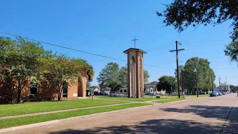
3. The view of the Plaza Iglesia Parroquial Marker from the street
Credits. This page was last revised on September 22, 2022. It was originally submitted on April 22, 2018, by Brian Anderson of New Albany, Ohio. This page has been viewed 395 times since then and 24 times this year. Photos: 1. submitted on April 22, 2018, by Brian Anderson of New Albany, Ohio. 2, 3. submitted on September 22, 2022, by James Hulse of Medina, Texas. • Bernard Fisher was the editor who published this page.
