Marion in Crittenden County, Arkansas — The American South (West South Central)
Crittenden Bank & Trust Company
Erected 1919
| — | Courthouse Square Walking Trail | — |
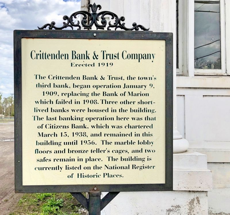
Photographed by Mark Hilton, April 8, 2018
1. Crittenden Bank & Trust Company Marker
Erected by the City of Marion.
Topics. This historical marker is listed in this topic list: Industry & Commerce. A significant historical date for this entry is January 9, 1909.
Location. 35° 12.862′ N, 90° 11.748′ W. Marker is in Marion, Arkansas, in Crittenden County. It is at the intersection of East Military Road and Cypress Drive, on the right when traveling east on East Military Road. Touch for map. Marker is at or near this postal address: 131 East Military Road, Marion AR 72364, United States of America. Touch for directions.

Regionally, this marker is in the Arkansas Delta and in the Mississippi Alluvial Plain. It is also in the
this page online
Other nearby markers. At least 8 other markers are within walking distance of this marker: Marion Hotel (a few steps from this marker); Rhodes Storefronts (about 300 feet away, measured in a direct line); Confederate Soldier's Memorial (about 500 feet away); Mound City Landing (about 500 feet away); Old County Jail (about 500 feet away); Crittenden County Health Department (about 600 feet away); Hernando De Soto's expeditionary force entering Arkansas (about 600 feet away); The Trail of Tears...A Sad Chapter in American History (about 600 feet away). Touch for a list and map of all markers in Marion.
Regarding Crittenden Bank & Trust Company. As the county and its businesses began to prosper, banks provided a depository for monies
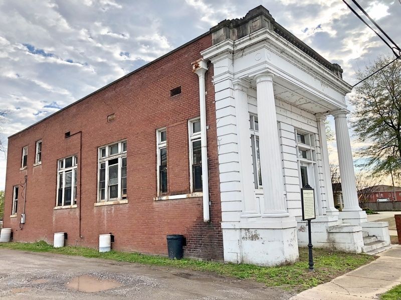
Photographed by Mark Hilton, April 8, 2018
2. The former Crittenden Bank & Trust Company.
Also see . . . Map of the City of Marion Courthouse Square Walking Trail. (Submitted on April 23, 2018, by Mark Hilton of Montgomery, Alabama.)
Credits. This page was last revised on August 21, 2020. It was originally submitted on April 23, 2018, by Mark Hilton of Montgomery, Alabama. This page has been viewed 713 times since then and 76 times this year. Photos: 1, 2. submitted on April 23, 2018, by Mark Hilton of Montgomery, Alabama.
