North Bennington in Bennington County, Vermont — The American Northeast (New England)
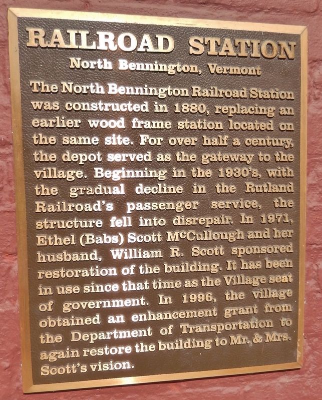
Railroad Station
North Bennington, Vermont
Topics. This historical marker is listed in this topic list: Railroads & Streetcars. A significant historical year for this entry is 1880.
Location. 42° 55.935′ N, 73° 14.542′ W. Marker is in North Bennington, Vermont, in Bennington County. Marker can be reached from the intersection of Buckley Road (Vermont Route 67) and Depot Street, on the right when traveling north. Marker is a metal plaque mounted at eye-level, directly on the subject building, near the northwest corner of the building. Touch for map. Marker is in this post office area: North Bennington VT 05257, United States of America. Touch for directions.
Other nearby markers. At least 8 other markers are within 2 miles of this marker, measured as the crow flies. Park-McCullough House (approx. ¼ mile away); House Where Lt .Colonel Baum Died (approx. 1.4 miles away); Paper Mill History / Covered Bridges Span Rivers And Time (approx. 1.4 miles away); The Paper Mill Village Bridge (approx. 1.4 miles away); McWaters Park (approx. 1½ miles away); Hub of History (approx. 1½ miles away); Henry Covered Bridge (approx. 1½ miles away); Birthplace of Vermont (approx. 1.6 miles away). Touch for a list and map of all markers in North Bennington.
More about this marker. The former North Bennington Railroad Depot and parking lot are directly across Buckley Road from the North Bennington Post Office.
Regarding Railroad Station. National Register of Historic Places (1973)
Also see . . . North Bennington Depot.
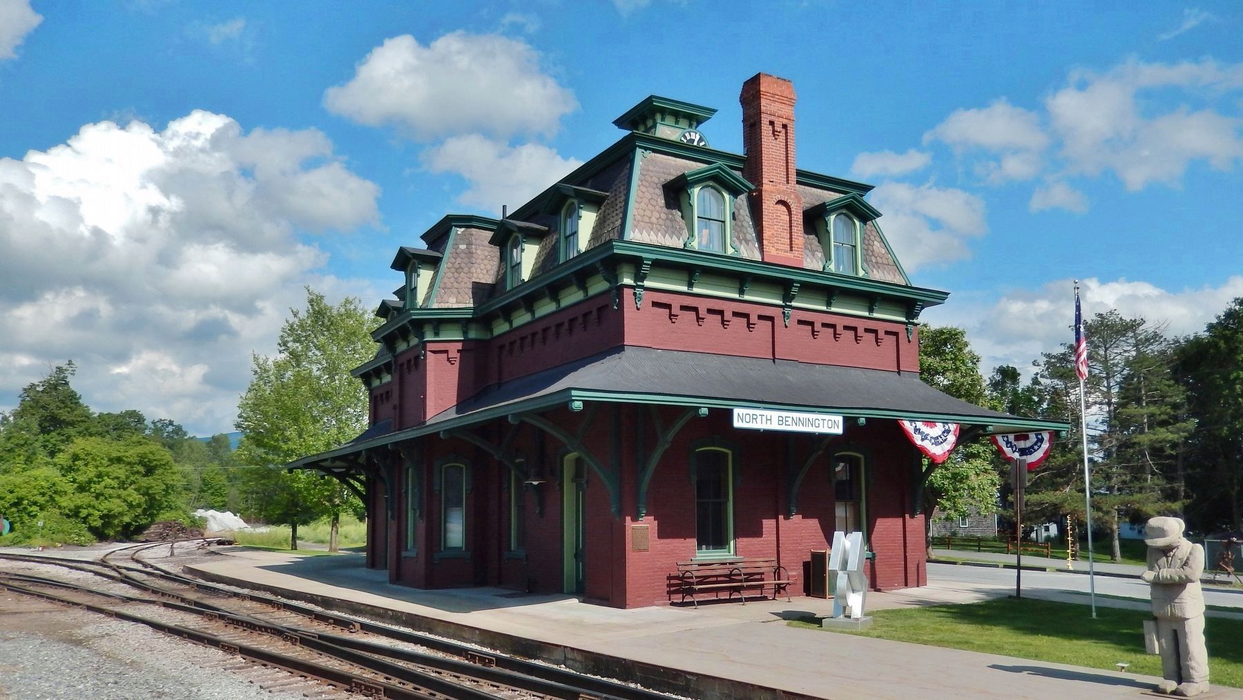
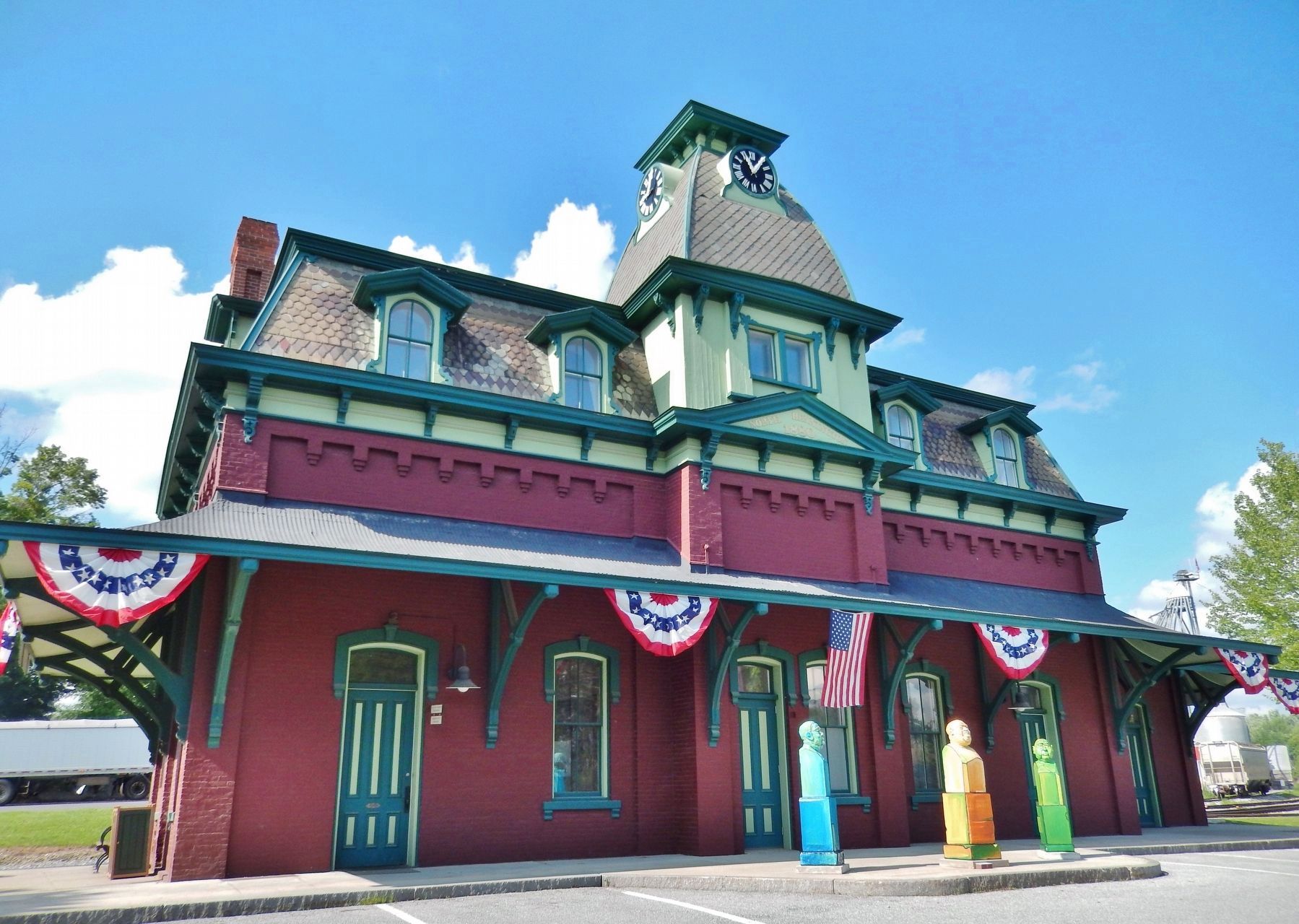
Built in 1880 as a passenger station, this Second Empire brick building is a surviving reminder of North Bennington's former importance as a major railroad hub in southwestern Vermont. It is set on the south side of railroad track operated by the Vermont Railway, and just west of a junction with a spur line leading to downtown Bennington. In the 19th century, North Bennington developed as a
major railway junction, joining the Rutland Railroad with lines serving New York and Massachusetts. (Submitted on April 24, 2018, by Cosmos Mariner of Cape Canaveral, Florida.)
Credits. This page was last revised on February 16, 2023. It was originally submitted on April 24, 2018, by Cosmos Mariner of Cape Canaveral, Florida. This page has been viewed 331 times since then and 34 times this year. Photos: 1, 2, 3, 4. submitted on April 24, 2018, by Cosmos Mariner of Cape Canaveral, Florida. • Andrew Ruppenstein was the editor who published this page.

![Railroad Station Marker (<i>wide view; marker is visible near the left edge [northwest corner]</i>). Click for full size. Railroad Station Marker (<i>wide view; marker is visible near the left edge [northwest corner]</i>) image. Click for full size.](Photos4/424/Photo424584.jpg?4242018124000PM)

