Rancho Palos Verdes in Los Angeles County, California — The American West (Pacific Coastal)
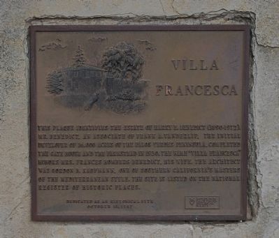
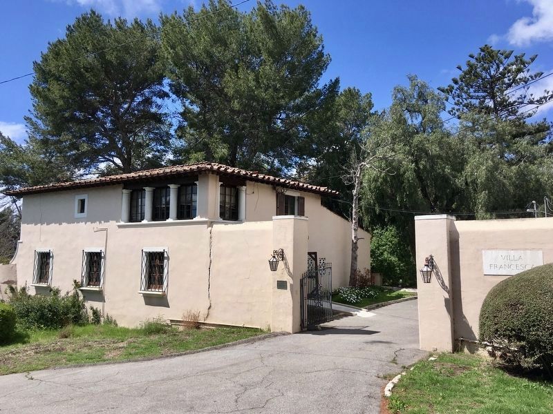
Villa Francesca
Dedicated as an historic site October 10, 1987
Erected 1987 by Rancho de los Palos Verdes Historical Society.
Topics. This historical marker is listed in this topic list: Notable Buildings. A significant historical date for this entry is October 10, 1987.
Location. 33° 44.374′ N, 118° 22.193′ W. Marker is in Rancho Palos Verdes, California, in Los Angeles County. Marker is at the intersection of Palos Verdes Drive South and Peppertree Drive, on the right when traveling west on Palos Verdes Drive South. Touch for map. Marker is in this post office area: Rancho Palos Verdes CA 90275, United States of America. Touch for directions.
Other nearby markers. At least 8 other markers are within 4 miles of this marker, measured as the crow flies. Harden Gatehouse (approx. ¼ mile away); Santa Catalina Island (approx. 0.6 miles away); Portuguese Bend (approx. 0.6 miles away); Palos Verdes Peninsula Habitat (approx. 0.6 miles away); Portuguese Bend Whaling Station (approx. 0.9 miles away); Site of the First Japanese American Farm on the Palos Verdes Peninsula (approx. 1.3 miles away); Point Vicente Lighthouse (approx. 2.4 miles away); “The Farmery” (approx. 3.2 miles away). Touch for a list and map of all markers in Rancho Palos Verdes.
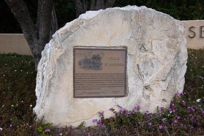
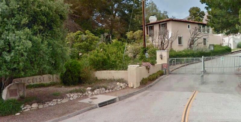
More about this marker. The marker is on a large rock underneath a tree outside a security gate of a private community, and the building itself can be viewed over the gate.
Credits. This page was last revised on January 30, 2023. It was originally submitted on March 24, 2015, by Eric Polk of Lakewood, California. This page has been viewed 769 times since then and 57 times this year. Last updated on April 25, 2018, by Craig Baker of Sylmar, California. Photos: 1, 2. submitted on March 25, 2015, by Eric Polk of Lakewood, California. 3. submitted on April 25, 2018, by Craig Baker of Sylmar, California. 4. submitted on March 31, 2020, by Craig Baker of Sylmar, California. • Andrew Ruppenstein was the editor who published this page.


