Saint Henry in Mercer County, Ohio — The American Midwest (Great Lakes)
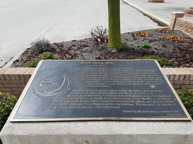
Saint Henry, Ohio
Founded 1837
In July, 1837, Henry Romer platted the village of St. Henry, Ohio. The Romer (Roemer), Bruns, Beckman, Wimmers, Borgelt, Athmer, Wendell, Grievenkamp, Huelsmann, Brockmann, and Hemmelgarnn families were among those early settlers of the 1830’s and the 1840’s. The Miami and Erie Canal provided transportation, between the Ohio River and Mercer County, for mannnnnnnny early German settlers. In December 1883, the Cincinnati and Jackson Railroad reached St. Henry, and provided a more effective method for transporting products to market than the canal. By 1884, over twenty businesses existed. From the early 1840’s to the present, the community has supported the St. Henry Catholic Church, and an excellent school system.
The 1900 village census was listed at 650. The village of St. Henry incorporated in 1901; the first officers were Mayor, Jacob Bany, Sr.; Marshall, Joseph Schoeneberger, Treasurer, Edward F. Romer; Clerk, H. A. Beckman; Council J.H. Roemer, A. Gulde, Casper Schoeneberger, Joseph Moeller, Joseph Davis, and J. A. Schirack. In July 1905, a major fire threatened the village and destroyed Bruns’ Livery Stable, Hotel, Carriage Business and nearby buildings. The next week, the citizens of the Village gathered to organize a Fire Department. Donated by the St. Henry Commercial Club
Erected 1998 by St. Henry Commercial Club.
Topics. This historical marker is listed in this topic list: Settlements & Settlers. A significant historical month for this entry is July 1837.
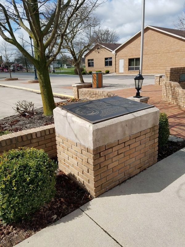
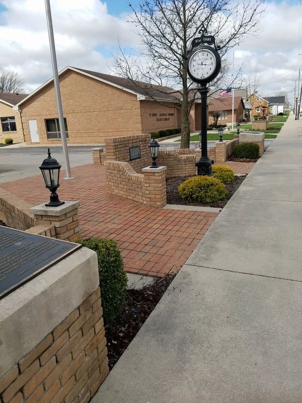
Location. 40° 25.059′ N, 84° 38.285′ W. Marker is in Saint Henry, Ohio, in Mercer County. Marker is on East Main Street (Ohio Route 119), on the right when traveling east. This marker is West of the Saint Henry Church fronting a parking lot. Touch for map. Marker is at or near this postal address: E Main St, Saint Henry OH 45883, United States of America. Touch for directions.
Other nearby markers. At least 8 other markers are within 4 miles of this marker, measured as the crow flies. Veterans Memorial (here, next to this marker); a different marker also named Veterans Memorial (here, next to this marker); Arthur "Artie" Bernard (a few steps from this marker); St. Henry Catholic Church (within shouting distance of this marker); a different marker also named Veterans Memorial (approx. 2.7 miles away); Saint Wendelin Cemetery Veterans Memorial (approx. 3.1 miles away); The Cranberry Prairie (approx. 3.4 miles away); St. Francis Catholic Church (approx. 3.4 miles away). Touch for a list and map of all markers in Saint Henry.
Credits. This page was last revised on January 9, 2024. It was originally submitted on April 27, 2018, by Allen W. Bernard of Cincinnati, Oh 45202-1736. This page has been viewed 470 times since then and 41 times this year. Photos: 1, 2, 3. submitted on April 27, 2018, by Allen W. Bernard of Cincinnati, Oh 45202-1736. • Bill Pfingsten was the editor who published this page.


