Twentynine Palms in San Bernardino County, California — The American West (Pacific Coastal)
Silver Bell Mine
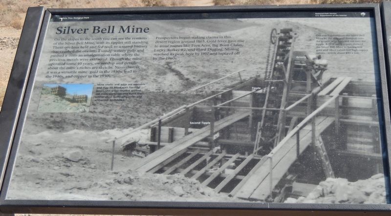
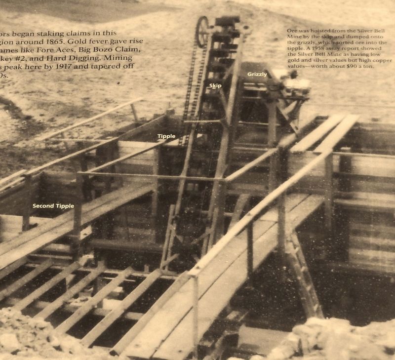
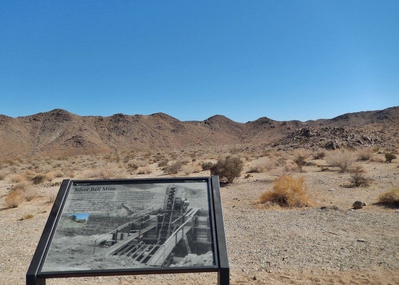
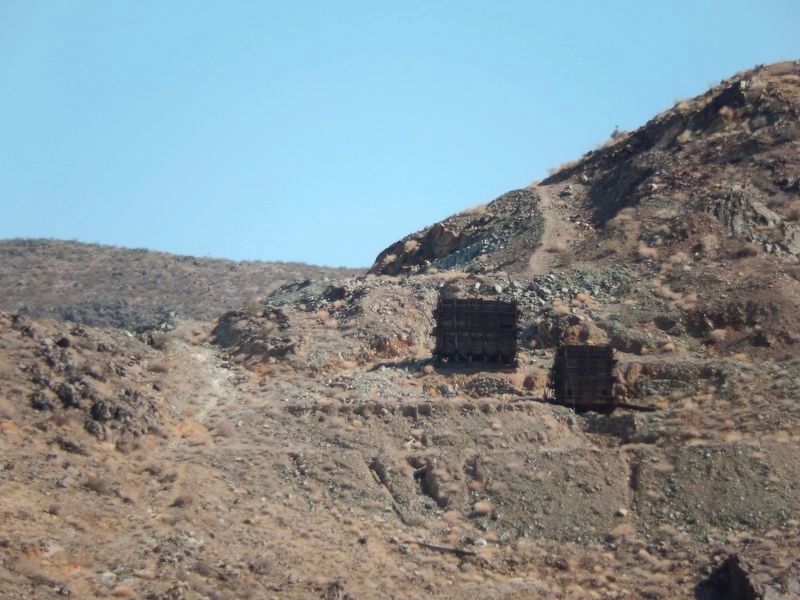
On the slopes to the south you can see the remains of the Silver Bell Mine, with its tipples still standing. These ore bins held and fed rock to a stamp battery that crushed ore into a sandy-watery pulp and pushed it onto an amalgamation table where the precious metals were extracted. Though the mine operated some 40 years, ownership and details about the mine's riches are sketchy. Nevertheless, it was a versatile mine: gold in the 1930s, lead in the 1940s, and copper in the 1950s.
Prospectors began staking claims in this desert region around 1865. Gold fever gave rise to mine names like Fore Aces, Big Bozo Claim, Lucky Turkey #2, and Hard Digging. Mining reached its peak here by 1917 and tapered off by the 1960s.
Erected by National Park Service, U.S. Department of the Interior.
Topics. This historical marker is listed in these topic lists: Industry & Commerce • Notable Places • Settlements & Settlers.
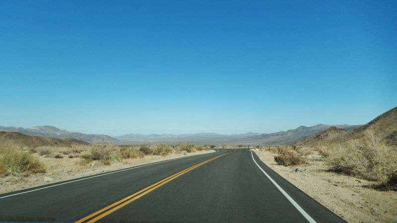
Location. 33° 55.982′ N, 115° 57.591′ W. Marker is in Twentynine Palms, California, in San Bernardino County. Marker is on Pinto Basin Road, 22 miles north of Cottonwood Springs Road, on the left when traveling north. Marker is in a pull-out on the west side of the highway, overlooking the old Silver Bell Mine site. Marker is located roughly in the center of Joshua Tree National Park, about 22 miles north of the Cottonwood Visitor Center (south end) or 15 miles south of the Oasis Visitor Center (north end). Touch for map. Marker is in this post office area: Twentynine Palms CA 92277, United States of America. Touch for directions.
Other nearby markers. At least 5 other markers are within 15 miles of this marker, measured as the crow flies. Worth Bagley Stone (approx. 12.2 miles away); Minerva Hamilton Hoyt (approx. 14.2 miles away); Champion of the Desert (approx. 14.3 miles away); Where Are The Joshua Trees? (approx. 15 miles away); Oasis of Mara (approx. 15 miles away).
Also see . . .
1. Silver Bell Mine.
Clearly visible in the eastern Hexie Mountains about .75 mile from the Pinto Basin Road west of the cholla cactus garden is the Silver Bell Mine. Two ore bins, a dirt-covered shelter, and an abandoned mine road are all that remain. The mine operated between 1934 and 1962 producing minimal amounts of gold, silver, lead and copper. (Submitted on April 27, 2018, by Cosmos Mariner of Cape Canaveral, Florida.)
2. Silver Bell Mine.
Two tipples remain, which are not fenced off, and seem still to be quite sturdy, constructed of thick timbers now weather-aged to a dark rust color. A metal ladder leads to the top of one of the tipples. The surrounding rocks are quite obviously mineralized - generally reddish, with many flecks of blue and green ores. A little summit
just above the tipples gives good views of the surroundings. A faint path contours southeast, on the south side of the ridgeline, to the mine site; over a steeply sloping hillside with some loose rocks, round a basin and past two shallow shafts, both loosely fenced. Just beyond is the main mining area, which includes a wooden hopper and at least two much deeper shafts, sealed more securely by iron bars. Several other iron and stone structures remain, plus many little test excavations, cut just a few feet into the bedrock. The mine was in operation from the 1930s to the 1950s, producing a mix of copper, gold and lead, though not, it would appear, any silver. (Submitted on April 27, 2018, by Cosmos Mariner of Cape Canaveral, Florida.)
Credits. This page was last revised on May 1, 2018. It was originally submitted on April 27, 2018, by Cosmos Mariner of Cape Canaveral, Florida. This page has been viewed 254 times since then and 40 times this year. Photos: 1, 2, 3, 4, 5. submitted on April 27, 2018, by Cosmos Mariner of Cape Canaveral, Florida. • Syd Whittle was the editor who published this page.
