Algiers in New Orleans in Orleans Parish, Louisiana — The American South (West South Central)
The Great Fire of Algiers, 1895
Photographed by Cajun Scrambler, April 28, 2018
1. The Great Fire of Algiers, 1895 Marker
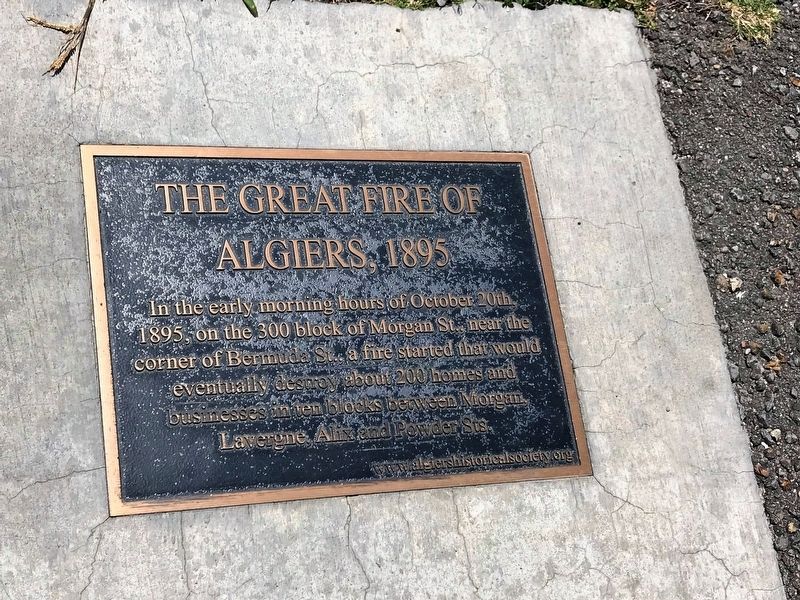
In the early morning hours of October 20th, 1895, on the 300 block of Morgan St., near the corner of Bermuda St., a fire started that would eventually destroy about 200 homes and businesses in ten blocks between Morgan, Lavergne, Alix and Powder Sts.
Erected by www.algiershistoricalsociety.org.
Topics. This historical marker is listed in these topic lists: Disasters • Settlements & Settlers.
Location. 29° 57.281′ N, 90° 3.243′ W. Marker is in New Orleans, Louisiana, in Orleans Parish. It is in Algiers. It can be reached from Patterson Road near Bermuda Street, on the right when traveling north. Located on the Mississippi River Trail, atop the levee. Touch for map. Marker is at or near this postal address: 4 Bermuda St, New Orleans LA 70114, United States of America. Touch for directions.

Regionally, this marker is in one of Louisiana’s River Parishes. It is also in the American South, specifically in the Deep South, on the Gulf Coast, and in the Great River Road Region. Globally, it is in North America, a Gulf of Mexico state, the Western Hemisphere,
this page online
Other nearby markers. At least 8 other markers are within walking distance of this marker: Duverjé Plantation (within shouting distance of this marker); Hardy Residence (within shouting distance of this marker); Algiers Courthouse (about 300 feet away, measured in a direct line); Transatlantic Slave Trade to Louisiana (about 400 feet away); Algiers' Dry Docks (about 400 feet away); Enslaved Africans (about 600 feet away); Brownlee Residence (about 800 feet away); Louis D. Armstrong (approx. 0.2 miles away). Touch for a list and map of all markers in New Orleans.
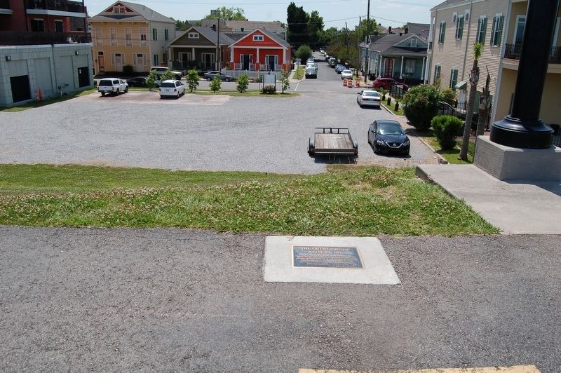
More about this marker. Marker is located on top of levee, along the Mississippi River Trail, a bicycle and walking path on top the levee.
Photographed by Cajun Scrambler, April 27, 2018
2. The Great Fire of Algiers, 1895 Marker
Credits. This page was last revised on October 17, 2025. It was originally submitted on April 28, 2018, by Cajun Scrambler of Assumption, Louisiana. This page has been viewed 930 times since then and 68 times this year. Photos: 1, 2. submitted on April 28, 2018.
