Near Jetersville in Amelia County, Virginia — The American South (Mid-Atlantic)
Holt's Corner
Lee's Army Divides
ó Lee's Retreat ó
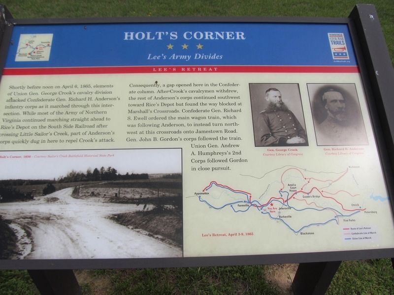
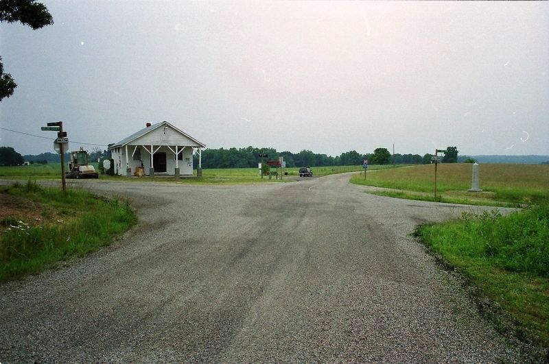
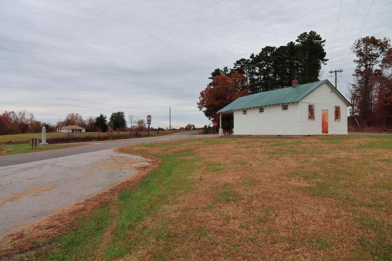
Shortly before noon on April 6, 1865, elements of Union Gen. George Crook's cavalry division attacked Confederate Gen. Richard H. Anderson's infantry corps as it marched through this intersection. While most of the Army of Northern Virginia continued marching straight ahead to Rice's Depot on the South Side Railroad after crossing Little Sailor's Creek, part of Anderson's corps quickly dug in here to repel Crook's attack.
Consequently, a gap opened here in the Confederate column. After Crook's cavalrymen withdrew, the rest of Anderson's corps continued southwest toward Rice's Depot but found the way blocked at Marshall's Crossroads. Confederate Ge. Richard S. Ewell ordered the main wagon train, which was following Anderson, to instead turn northwest at this crossroads onto Jamestown Road. Gen. John B. Gordon's corps followed the train. Union Gen. Andrew A. Humphrey's 2nd Corps followed Gordon in close pursuit.
Erected by Virginia Civil War Trails.
Topics and series. This historical marker is listed in this topic list: War, US Civil. In addition, it is included in the Virginia Civil War Trails series list. A significant historical date for this entry is April 6, 1865.
Location. 37° 19.25′ N, 78° 12.752′ W. Marker is near Jetersville, Virginia , in Amelia County. Marker is at the intersection of Sayler's Creek Road (Virginia Route 617) and James Town Road (Virginia Route 618), on the left when traveling west on Sayler's Creek Road. Touch for map. Marker is in this post office area: Jetersville VA 23083, United States of America. Touch for directions.
Other nearby markers. At least 8 other markers are within 2 miles of this marker, measured as the crow flies. A different marker also named Holtís Corner (here, next to this marker); W. R. Turner Memorial Trek (within shouting distance of this marker); Hillsman House (approx. 0.9 miles away); Overton / Hillsman House (approx. 0.9 miles away); Battle of Sailor's (Sayler's) Creek (approx. 0.9 miles away); Crossing Little Sailor's Creek (approx. 1.2 miles away); Assaulting the Confederate Battle Line (approx. 1.4 miles away); The Final Clash: With Fate Against Them (approx. 1.4 miles away). Touch for a list and map of all markers in Jetersville.
Credits. This page was last revised on November 20, 2023. It was originally submitted on May 1, 2018, by Roger Miller of Pulaski, Virginia. This page has been viewed 468 times since then and 50 times this year. Photos: 1. submitted on April 27, 2018, by Roger Miller of Pulaski, Virginia. 2. submitted on March 4, 2020, by David Graff of Halifax, Nova Scotia. 3. submitted on November 18, 2023, by William Thievon of Hofheim am Taunus, Germany. • Bernard Fisher was the editor who published this page.


