Conesus in Livingston County, New York — The American Northeast (Mid-Atlantic)
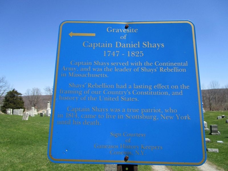
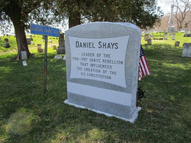
Gravesite of Captain Daniel Shays
← of
Captain Daniel Shays
1747 - 1825
Shays' Rebellion had a lasting effect on the framing of our Country's Constitution, and history of the United States.
Captain Shays was a true patriot, who in 1814 came to live in Scottsburg, New York until his death.
Erected by Ganeasos History Keepers of Conesus.
Topics. This historical marker is listed in these topic lists: Cemeteries & Burial Sites • War, US Revolutionary. A significant historical year for this entry is 1747.
Location. 42° 40.781′ N, 77° 42.908′ W. Marker is in Conesus, New York, in Livingston County. Marker can be reached from West Swamp Road (New York State Route 256) ¾ mile south of Guiltner Road. Marker is in Union Cemetery north of the hamlet of Scottsburg. Touch for map. Marker is in this post office area: Conesus NY 14435, United States of America. Touch for directions.
Other nearby markers. At least 8 other markers are within 4 miles of this marker, measured as the crow flies. Union Cemetery (about 400 feet away, measured in a direct line); Military Route (approx. 2.4 miles away); Groveland Ambuscade Monument (approx. 2.7 miles away); Groveland Ambuscade Park (approx. 2.7 miles away); Sparta First Presbyterian Church (approx. 2.9 miles away); Ambuscade (approx. 3 miles away); Conesus Amusement Hall (approx. 3.4 miles away); a different marker also named Conesus Amusement Hall (approx. 3.4 miles away). Touch for a list and map of all markers in Conesus.

Photographed By Anton Schwarzmueller, April 30, 2018
2. Gravesite of Captain Daniel Shays Marker
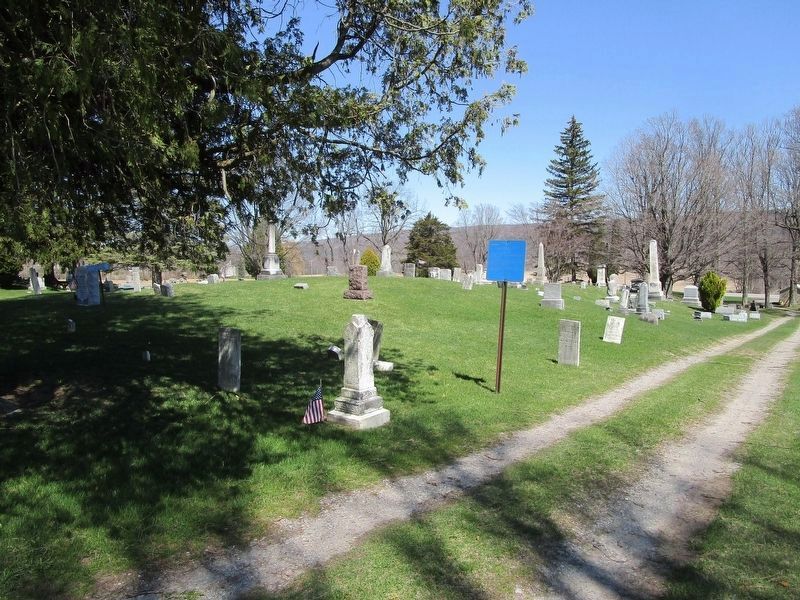
The cemetery loop road is oblong. There are two identical markers on the cemetery road, each pointing into the looped area. The markers are on either side of the headstone row. This is the south marker. The view is eastward, towards NY route 256. The north marker has some small shot holes.
Credits. This page was last revised on November 27, 2019. It was originally submitted on May 1, 2018, by Anton Schwarzmueller of Wilson, New York. This page has been viewed 562 times since then and 55 times this year. Photos: 1, 2, 3. submitted on May 1, 2018, by Anton Schwarzmueller of Wilson, New York.

