Independence in Jackson County, Missouri — The American Midwest (Upper Plains)
1827 Log Courthouse
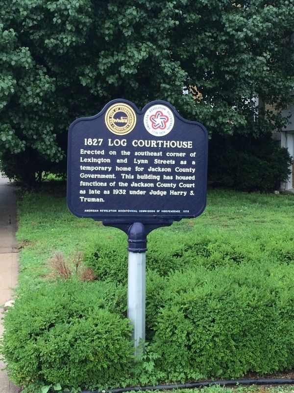
Photographed by Pat Filippone, June 28, 2014
1. 1827 Log Courthouse Marker
Erected 1976 by American Revolution Bicentennial Commission of Independence.
Topics and series. This historical marker is listed in this topic list: Government & Politics. In addition, it is included in the Former U.S. Presidents: #33 Harry S. Truman series list. A significant historical year for this entry is 1932.
Location. 39° 5.458′ N, 94° 24.978′ W. Marker is in Independence, Missouri, in Jackson County. It is on West Kansas Avenue. Touch for map. Marker is in this post office area: Independence MO 64050, United States of America. Touch for directions.

Regionally, this marker is in Greater Kansas City. It is also in the American Midwest, in the Lewis & Clark Corridor, in the Corn Belt, and on the Santa Fe Trail Corridor. Globally, it is in North America, the Western Hemisphere, the Western World, and the Anglosphere. Historically, it finds itself in what was once the territory of the
this page online
Other nearby markers. At least 8 other markers are within walking distance of this marker: Our Jackson County Pioneers (about 500 feet away, measured in a direct line); First Battle of Independence (about 500 feet away); Harpie Club (about 500 feet away); A Century of Progress (about 500 feet away); Harry S. Truman (about 600 feet away); Santa Fe Trail (about 600 feet away); General Andrew Jackson (about 600 feet away); Here the Oregon Trail Began (about 600 feet away). Touch for a list and map of all markers in Independence.
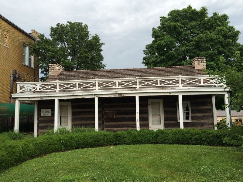
Photographed by Pat Filippone, June 28, 2014
2. Log Courthouse
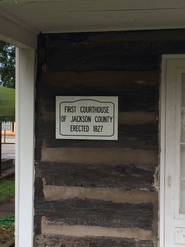
Photographed by Pat Filippone, June 28, 2014
3. Sign On Court House
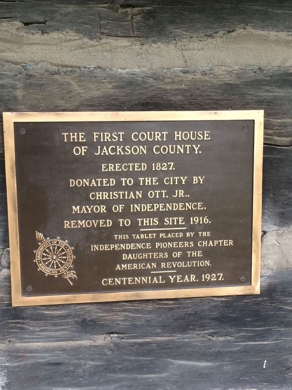
Photographed by Pat Filippone, June 28, 2014
4. Another Marker on Court House
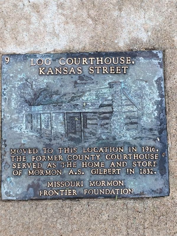
Photographed by Pat Filippone, June 28, 2014
5. Marker on Grounds
Credits. This page was last revised on May 4, 2018. It was originally submitted on May 2, 2018, by Pat Filippone of Stockton, California. This page has been viewed 906 times since then and 59 times this year. Photos: 1, 2, 3, 4, 5. submitted on May 2, 2018, by Pat Filippone of Stockton, California. • Bill Pfingsten was the editor who published this page.
