Near McAllister in Madison County, Montana — The American West (Mountains)
The Bozeman Trail
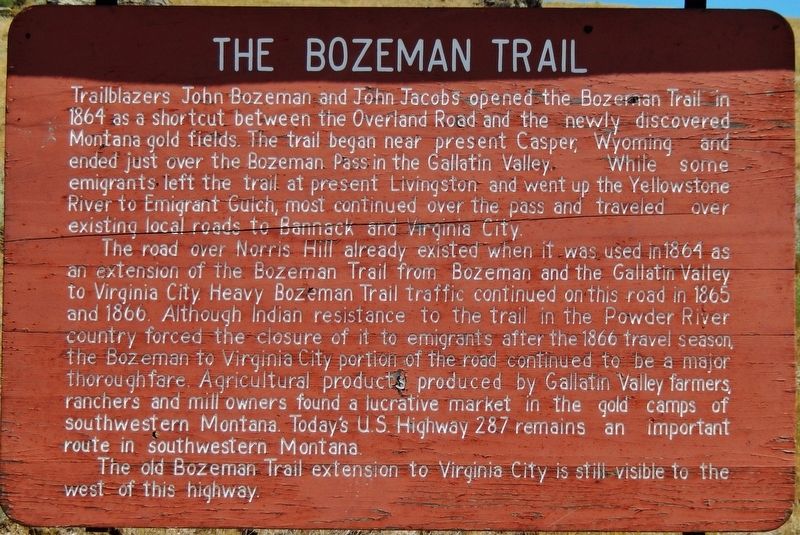
Trailblazers John Bozeman and John Jacobs opened the Bozeman Trail in 1864 as a shortcut between the Overland Road and the newly discovered Montana gold fields. The trail began near present Casper, Wyoming and ended just over the Bozeman Pass in the Gallatin Valley. While some emigrants left the trail at present Livingston and went up the Yellowstone River to Emigrant Gulch, most continued over the pass and traveled over existing local roads to Bannack and Virginia City.
The road over Norris Hill already existed when it was used in 1864 as an extension of the Bozeman Trail from Bozeman and the Gallatin Valley to Virginia City. Heavy Bozeman Trail traffic continued on this road in 1865 and 1866. Although Indian resistance to the trail in the Powder River country forced the closure of it to emigrants after the 1866 travel season, the Bozeman to Virginia City portion of the road continued to be a major thoroughfare. Agricultural products produced by Gallatin Valley farmers, ranchers and mill owners found a lucrative market in the gold camps of southwestern Montana. Today’s U.S. Highway 287 remains an important route in southwestern Montana.
The old Bozeman Trail extension to Virginia City is still visible to the west of this highway.
Topics. This historical marker is listed in this topic list: Roads & Vehicles . A significant historical year for this entry is 1864.
Location. 45° 29.932′ N, 111° 41.801′ W. Marker is near McAllister, Montana, in Madison County. Marker is on U.S. 287, 4˝ miles north of North Ennis Lake Road, on the right when traveling north. There are two duplicate copies of this marker, located on opposite sides of the highway, about 4.5 miles north of McAllister. Touch for map. Marker is in this post office area: Mc Allister MT 59740, United States of America. Touch for directions.
Other nearby markers. At least 1 other marker is within 11 miles of this marker, measured as the crow flies. The Shining Mountains (approx. 10˝ miles away).
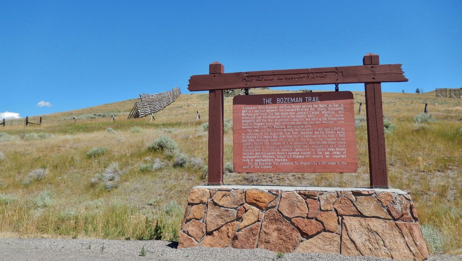
More about this marker. The marker is a large, wooden, "billboard-style" marker in fair condition. It is somewhat weathered but still very legible. It is mounted on a large stone and masonry pedestal.
Also see . . .
1. A Brief History of the Bozeman Trail.
John Bozeman left his wife and three young daughters behind in 1860 to join a group of 15 men going to the goldfields in Colorado. Bozeman, however, did not arrive until June 1862 when that rush was nearly over. In May 1863, a new deposit was found at Alder Gulch, about 75 miles east of the earlier strike at Bannack. The steady stream of prospectors moving into the area led Bozeman to think that, instead of mining gold, he could make more money mining the miners. So, joining forces with local mountain man John Jacobs, he entered the guiding business. Bozeman was a promoter and Jacobs a seasoned guide who knew the lay of the land, the rivers, water holes and mountains. Together, they searched for a shortcut to the Montana goldfields from the Oregon Trail in what is now Wyoming. (Submitted on May 2, 2018, by Cosmos Mariner of Cape Canaveral, Florida.)
2. The Bozeman Trail – A Violent Path to the Gold Fields.
Native Americans had been using the route as a travel corridor for centuries. In 1863, Bozeman and partner John Jacobs widened this corridor for use as a wagon road. The impetus for the trail was as a shortcut to goldfields, in and around Virginia City, Montana territory. The trail had one major drawback: it cut through the heart of territory that had been promised to several Indian tribes by the Treaty of Fort Laramie in 1848. This included the rich hunting grounds of the Powder River Country, claimed by the Sioux and other tribes. In 1866, U.S. Army troops were dispatched to construct three forts along the trail, which would supposedly offer protection to wagon trains. Raids and ambushes were carried out against soldiers, civilians, supply trains and anyone else brazen enough to attempt the trail. (Submitted on May 2, 2018, by Cosmos Mariner of Cape Canaveral, Florida.)
3. The Bozeman Trail.
The trail started from the Oregon Trail near present-day Douglas, Wyoming and ran north into Montana. While livestock grazing and water were scarce along this route, it was the fastest way to the gold fields. The emigrants were unconcerned that it cut through the buffalo hunting grounds of the Lakota, Arapaho, and Northern Cheyenne. The Indians, however, found this illegal incursion into their prime hunting grounds to be intolerable. In response they began a series of sporadic raids against the emigrants. (Submitted on May 2, 2018, by Cosmos Mariner of Cape Canaveral, Florida.)
Credits. This page was last revised on May 5, 2018. It was originally submitted on May 2, 2018, by Cosmos Mariner of Cape Canaveral, Florida. This page has been viewed 563 times since then and 61 times this year. Photos: 1, 2. submitted on May 2, 2018, by Cosmos Mariner of Cape Canaveral, Florida. • Andrew Ruppenstein was the editor who published this page.

