Carrizo Plain National Monument in San Luis Obispo County, California — The American West (Pacific Coastal)
Soda Lake
Photographed by Barry Swackhamer, April 26, 2018
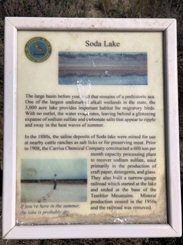
1. Soda Lake Marker
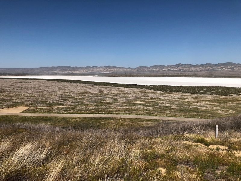
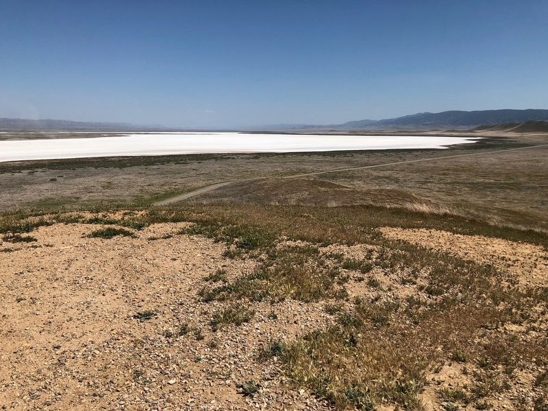
The large basin before you is all that remains of a prehistoric sea. One of the largest undisturbed alkali wetlands in the state, the 3,000 acre lake provides important habitat for migratory birds. With no outlet, the water evaporates, leaving behind a glistening expanse of sodium sulfate and carbonate salts that appear to ripple and sway in the heat waves of summer.
In the 1880s, the saline deposits of Soda lake were mined for use at nearby cattle ranches as salt licks or for preserving meat. Prior to 1908, the Carrisa Chemical Company constructed a 600 ton per month capacity processing plant to recover sodium sulfate, used primarily in the production of craft paper, detergents, and glass. They also built a narrow-gauge railroad which started at the lake and ended at the base of the Temblor Mountains. Mineral production ceased in the 1950s and the railroad was removed.
photo caption:
If you're here in the summer, the lake is probably dry.
Erected by Carrizo Plain National Monument.
Topics. This historical marker is listed in these topic lists: Industry & Commerce • Natural Resources.
Location. 35° 14.41′ N,
this page online

Regionally, this marker is on the Central Coast and specifically on the Coast Ranges. It is also on the American Pacific Coast. Globally, it is in North America, on the Ring of Fire, on the Pacific Rim, in the Western Hemisphere, in the Western World, and in the Anglosphere. Historically, it finds itself in what was once New Spain and also Mexico’s Alta California.
Other nearby markers. At least 7 other markers are within 7 miles of this marker, measured as the crow flies: Goodwin Ranch (about 400 feet away, measured in a direct line); a different marker also named Soda Lake (approx. 0.3 miles away); a different marker also named Soda Lake (approx. 4.1 miles away); Painted Rock (approx. 4.2 miles away); Farming Carrizo (approx. 4.2 miles away); Wallace Creek Interpretive Trail
Photographed by Barry Swackhamer, April 26, 2018
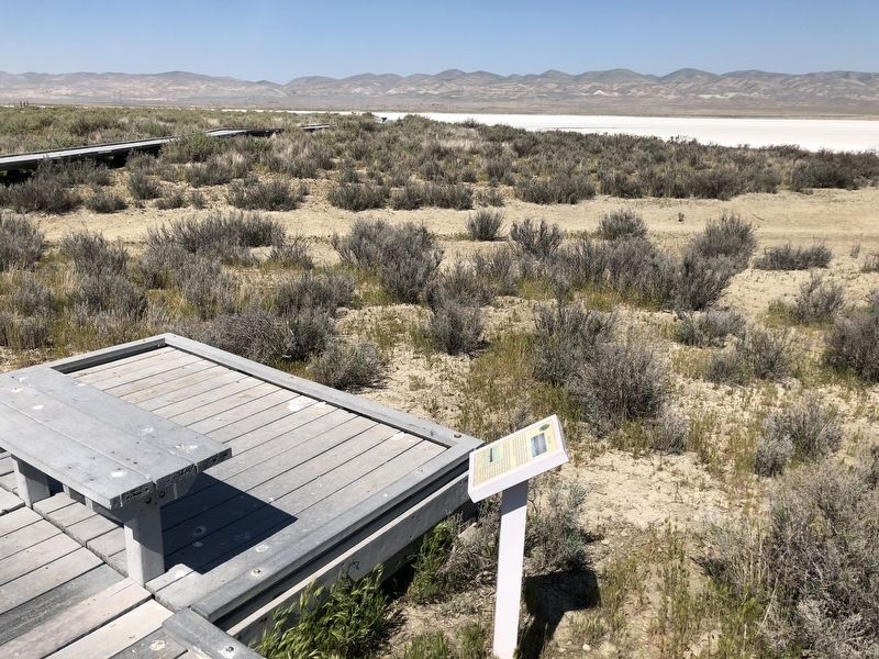
2. Soda Lake Marker and Boardwalk
More about this marker. Located on the boardwalk next to Soda Lake. The trail to the boardwalk begins across the highway from the Soda Lake Viewpoint/Overlook Hill.
Photographed by Barry Swackhamer, April 26, 2018
3. Soda Lake
Photographed by Barry Swackhamer, April 26, 2018
4. Soda Lake
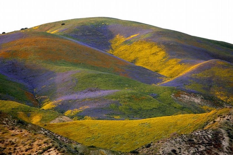
courtesy LA Times, 2017
5. Carrizo Plain Spring Wildflowers
Credits. This page was last revised on November 20, 2023. It was originally submitted on May 4, 2018, by Barry Swackhamer of Brentwood, California. This page has been viewed 747 times since then and 58 times this year. Photos: 1, 2, 3, 4, 5. submitted on May 4, 2018, by Barry Swackhamer of Brentwood, California.
