Solvang in Santa Barbara County, California — The American West (Pacific Coastal)
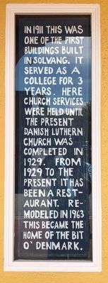
Bit O' Denmark
Photographed by Barry Swackhamer, April 24, 2018
1. Bit O' Denmark Marker
Topics. This historical marker is listed in this topic list: Notable Buildings.
Location. 34° 35.715′ N, 120° 8.307′ W. Marker is in Solvang, California, in Santa Barbara County. It is at the intersection of Alisal Road and Park Way, on the left when traveling north on Alisal Road. Touch for map. Marker is at or near this postal address: 473 Alisal Road, Solvang CA 93463, United States of America. Touch for directions.

Regionally, this marker is on the Central Coast, specifically on the Coast Ranges, and specifically in the Transverse Ranges. It is also on the American Pacific Coast. Globally, it is in North America, on the Ring of Fire, on the Pacific Rim, in the Western Hemisphere, in the Western World, and in the Anglosphere. Historically, it finds itself in what was once New Spain and also Mexico’s Alta California.
Other nearby markers. At least 8 other markers are within walking distance of this marker: Solvang Park War Memorial (about 400 feet away, measured in a direct line); Solvang Founders (about 500 feet away); King Christian Tower (about 600 feet away); Mission Life (about 600 feet away); Mission Grape Exhibit (about 700 feet away); Mission Santa Inéz (about 700 feet away); Fray Junipero Serra (about 700 feet away); The Legendary Mission Grape (about 700 feet away). Touch for a list and map of all markers in Solvang.
this page online
Photographed by Barry Swackhamer, April 24, 2018
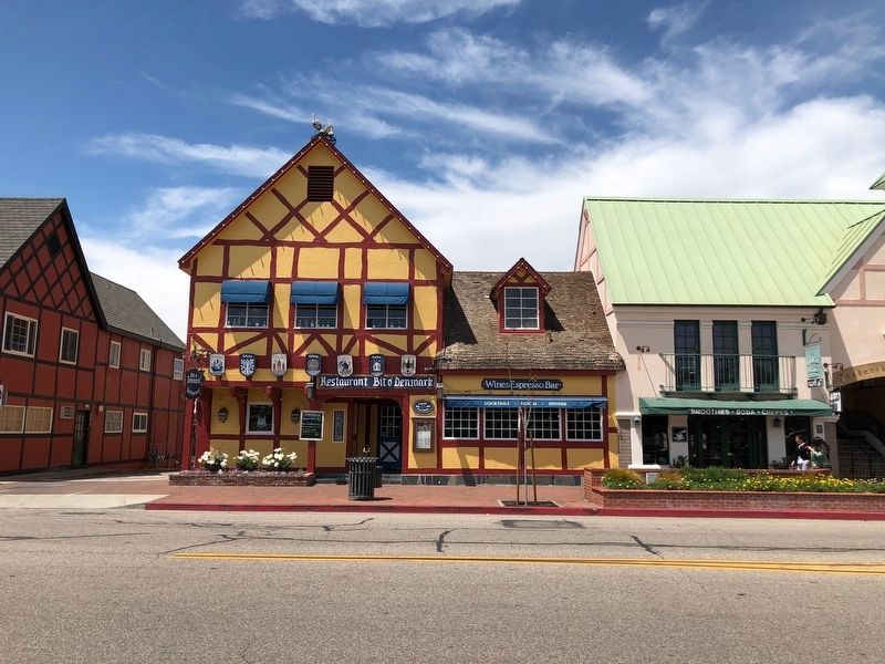
2. Bit O' Denmark Marker
The marker is to the left of the entrance.
Photographed by Barry Swackhamer, April 24, 2018
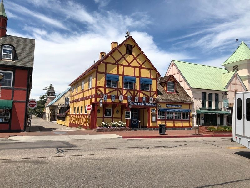
3. Bit O' Denmark Restaurant
Credits. This page was last revised on December 3, 2018. It was originally submitted on May 4, 2018, by Barry Swackhamer of Brentwood, California. This page has been viewed 637 times since then and 56 times this year. Photos: 1, 2, 3. submitted on May 4, 2018, by Barry Swackhamer of Brentwood, California.
