City of London in Greater London, England, United Kingdom — Northwestern Europe (the British Isles)
The Black Friar
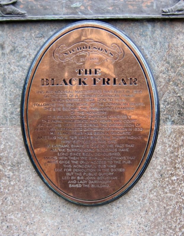
Photographed by Andrew Ruppenstein, March 17, 2018
1. The Black Friar Marker
Erected by Nicholson's Pubs.
Topics. This historical marker is listed in these topic lists: Industry & Commerce • Religion & Religious Structures. A significant historical year for this entry is 1905.
Location. 51° 30.731′ N, 0° 6.227′ W. Marker is in City of London, England,
this page online

Regionally, this marker is in London and in the Greater South East. Globally, it is on the Atlantic Ocean, in the North Atlantic Region, in Europe, in Atlantic Europe, on one of the British Isles, in the Western World, and in the Anglosphere. Historically, it finds itself in what was once the Roman Empire.
Other nearby markers. At least 8 other markers are within walking distance of this marker: The Palace of Bridewell (about 90 meters away, measured in a direct line); Victoria R.I. (about 90 meters away); Blackfriars Bridge (about 120 meters away); City of London School for Girls (about 210 meters away); The Daily Courant (about 210 meters away); Ludgate (about 240 meters away); The Old Bell (about 240 meters away); Edgar Wallace (about 240 meters away). Touch for a list and map of all markers in City of London.
Also see . . . Black Friar (pub) (Wikipedia).
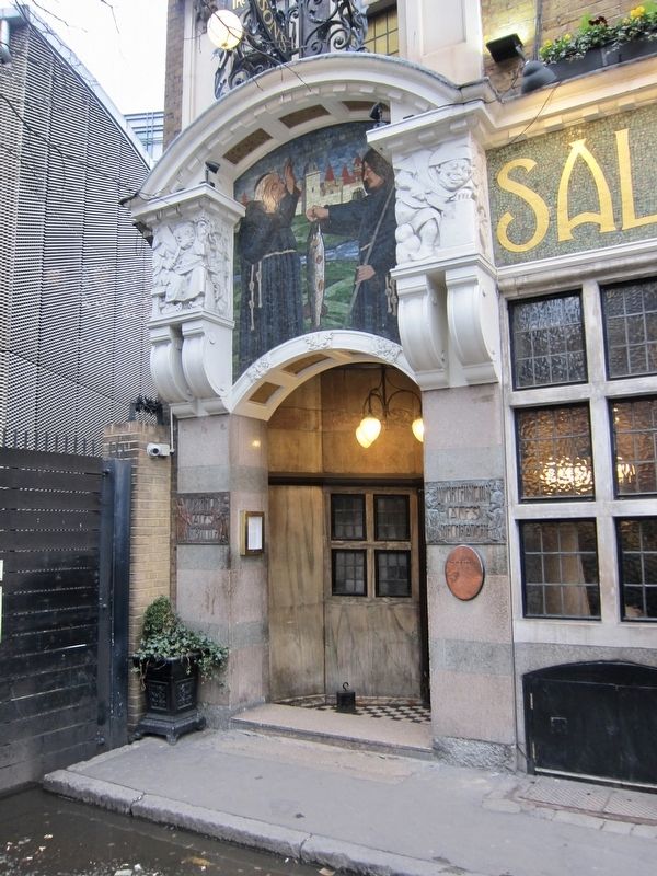
Photographed by Andrew Ruppenstein, March 17, 2018
2. The Black Friar Marker - Wide View
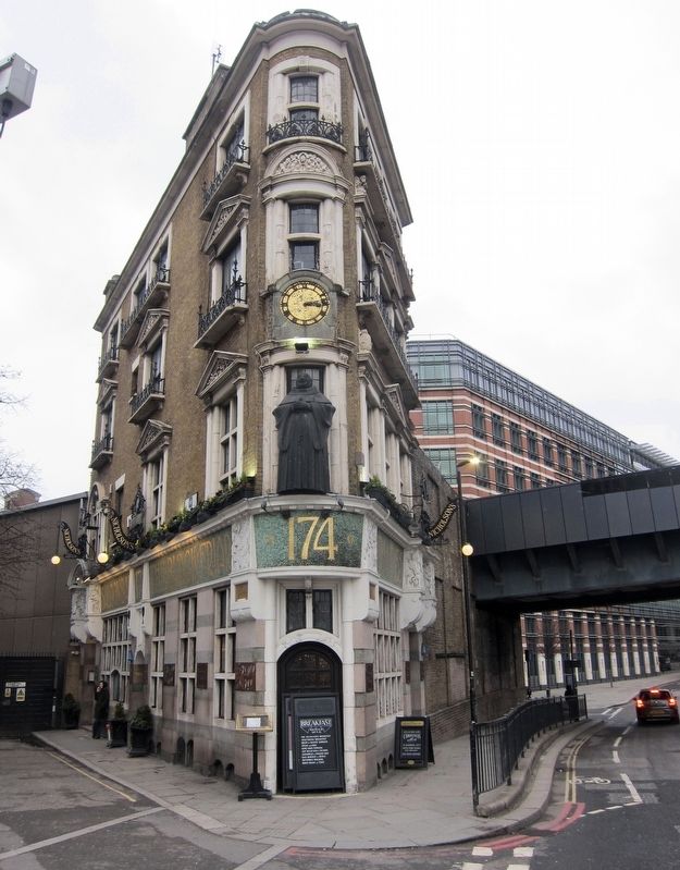
Photographed by Andrew Ruppenstein, March 17, 2018
3. The Black Friar
Although not quite visible here, the marker is located just to the right of the entrance that is on the left side, towards the rear of the building.
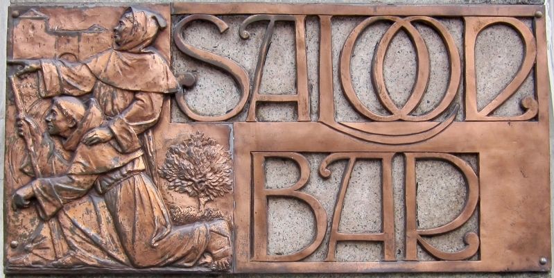
Photographed by Andrew Ruppenstein, March 17, 2018
4. The Black Friar - Exterior Decoration
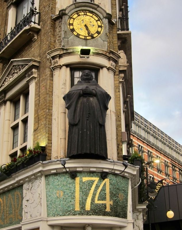
Photographed by Andrew Ruppenstein, March 20, 2018
5. The Black Friar - Exterior Detail
Photographed by Andrew Ruppenstein, March 20, 2018
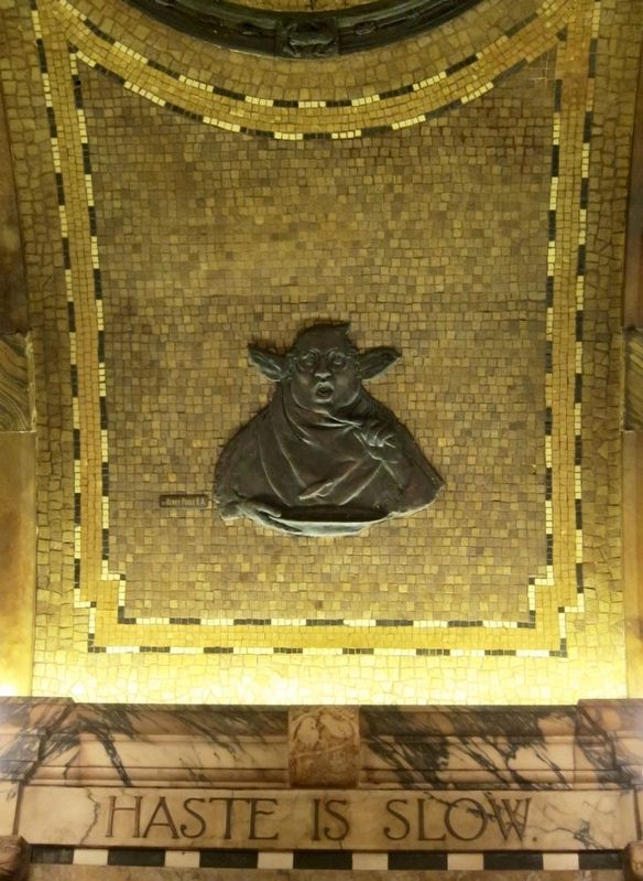
6. The Black Friar - Interior Detail - "Haste is Slow"
Interior detail of a friar eating. By Henry Poole, RA.
Credits. This page was last revised on March 4, 2026. It was originally submitted on May 4, 2018, by Andrew Ruppenstein of Lamorinda, California. This page has been viewed 670 times since then and 53 times this year. Photos: 1, 2, 3, 4, 5, 6. submitted on May 4, 2018, by Andrew Ruppenstein of Lamorinda, California.
