Little Rock in Pulaski County, Arkansas — The American South (West South Central)
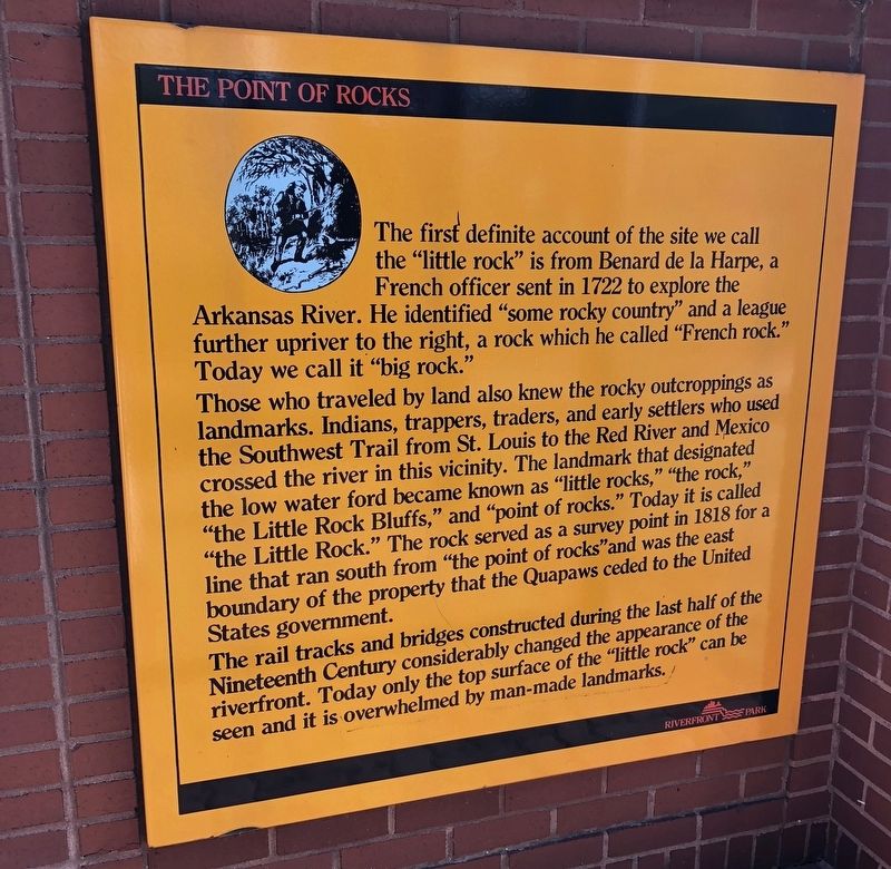
The Point of Rocks
Photographed by Mark Hilton, April 10, 2018
1. The Point of Rocks Marker
Today we call it "big rock.”
Those who traveled by land also knew the rocky outcroppings as landmarks. Indians, trappers, traders, and early settlers who used the Southwest Trail from St. Louis to the Red River and Mexico crossed the river in this vicinity. The landmark that designated the low water ford became known as "little rocks," "the rock," "the Little Rock Bluffs," and "point of rocks." Today it is called "the Little Rock." The rock served as a survey point in 1818 for a line that ran south from "the point of rocks" and was the east boundary of the property that the Quapaws ceded to the United States government.
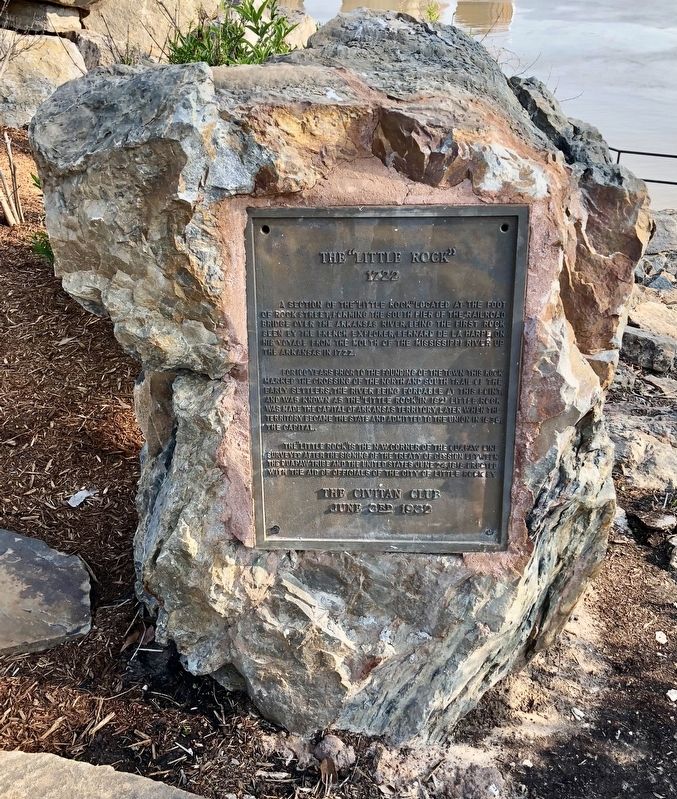
The rail tracks and bridges constructed during the last half of the Nineteenth Century considerably changed the appearance of the riverfront. Today only the top surface of the “little rock” can be seen and it
this page online
Topics. This historical marker is listed in these topic lists: Exploration • Indigenous Peoples and Communities • Settlements & Settlers. A significant historical year for this entry is 1722.
Location. 34° 44.942′ N, 92° 16.03′ W. Marker is in Little Rock, Arkansas, in Pulaski County. It can be reached from President Clinton Avenue. Located along the Arkansas River Trail near the Junction Bridge. Touch for map. Marker is at or near this postal address: 300 President Clinton Avenue, Little Rock AR 72201, United States of America. Touch for directions.

Regionally, this marker is in the Quapaw Homeland. It is also in the American South and specifically in the Upper South. Globally, it is in North America, the Western Hemisphere, the Western World, and the Anglosphere. Historically, it finds itself in what was once the territory of the Mississippian Culture, the Louisiana Purchase, one of the Confederate States of America, and the Antebellum South.
Other nearby markers. At least 8 other markers are within walking distance of this marker: Arkansas in the Civil War (here, next to
Photographed by Mark Hilton, April 10, 2018
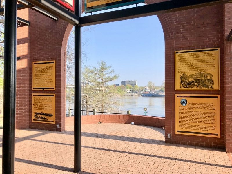
2. The Point of Rocks Marker (bottom right) with the Arkansas River in background.
Also see . . . Encyclopedia of Arkansas History & Culture article on Point of Rocks. (Submitted on May 4, 2018, by Mark Hilton of Montgomery, Alabama.)

Photographed by Mark Hilton, April 10, 2018
3. Markers can be seen with the Junction Bridge in background.
Photographed by Mark Hilton, April 10, 2018
4. What is left of the "Little Rock."
Credits. This page was last revised on September 9, 2020. It was originally submitted on May 4, 2018, by Mark Hilton of Montgomery, Alabama. This page has been viewed 656 times since then and 30 times this year. Photos: 1, 2, 3, 4. submitted on May 4, 2018, by Mark Hilton of Montgomery, Alabama.
