
Liberty in Liberty County, Texas — The American South (West South Central)
Liberty Bicentennial Observance
1756 • 1956
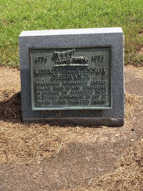
Photographed by Brian Anderson, August 5, 2018
1. Liberty Bicentennial Observance Marker
Atascosito, established Indian Village prior to 1690. Established as District on Atascosito Road by Spanish government in 1857 to prevent French trade with Indians.
Erected 1956 by Liberty Bicentennial Commission. (Marker Number 9636.)
Topics. This historical marker is listed in this topic list: Settlements & Settlers.
Location. 30° 5.436′ N, 94° 45.547′ W. Marker is in Liberty, Texas, in Liberty County. It is at the intersection of Farm to Market Road 1011 and North Main Street (State Highway 146), on the left when traveling south on Highway 1011. Touch for map. Marker is in this post office area: Liberty TX 77575, United States of America. Touch for directions.

Regionally, this marker is in the Houston Metropolitan Area. It is also in the American South and on the Gulf Coast. Globally, it is in North America, a Gulf of Mexico state, the Western Hemisphere, the Western World, and the Anglosphere. Historically, it finds itself in what was once New Spain, the Republic of Texas, and one of the Confederate States of America.
Other nearby markers. At
this page online
More about this marker. There is a incorrect date on this marker. The correct year of the establishment of Atascosito is 1757, not 1857 as stated on the marker.
Also see . . . Atascosito Road - The Handbook of Texas Online. Texas State Historical Association (TSHA) (Submitted on May 7, 2018, by Brian Anderson of New Albany, Ohio.)

Photographed by Brian Anderson, April 22, 2018
2. Three Markers Located at Hwy. 146 & FM 1011
Credits. This page was last revised on August 8, 2018. It was originally submitted on May 7, 2018, by Brian Anderson of New Albany, Ohio. This page has been viewed 724 times since then and 33 times this year. Photos: 1. submitted on August 7, 2018, by Brian Anderson of New Albany, Ohio. 2. submitted on May 7, 2018, by Brian Anderson of New Albany, Ohio. • Bernard Fisher was the editor who published this page.
