Bayou La Batre in Mobile County, Alabama — The American South (East South Central)
Bayou La Batre
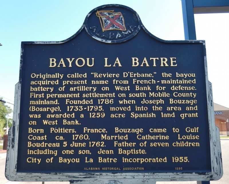
Originally called "Reviere D'Erbane," the bayou acquired present name from French-maintained battery of artillery on West Bank for defense. First permanent settlement on south Mobile County mainland. Founded 1786 when Joseph Bouzage (Bosarge), 1733-1795, moved into the area and was awarded a 1259 acre Spanish land grant on West Bank.
Born Poitiers, France, Bouzage came to Gulf Coast ca. 1760. Married Catherine Louise Boudreau 5 June 1762. Father of seven children including one son, Jean Baptiste.
City of Bayou La Batre incorporated 1955.
Erected 1986 by Alabama Historical Association.
Topics and series. This historical marker is listed in these topic lists: Settlements & Settlers • Waterways & Vessels. In addition, it is included in the Alabama Historical Association series list. A significant historical year for this entry is 1786.
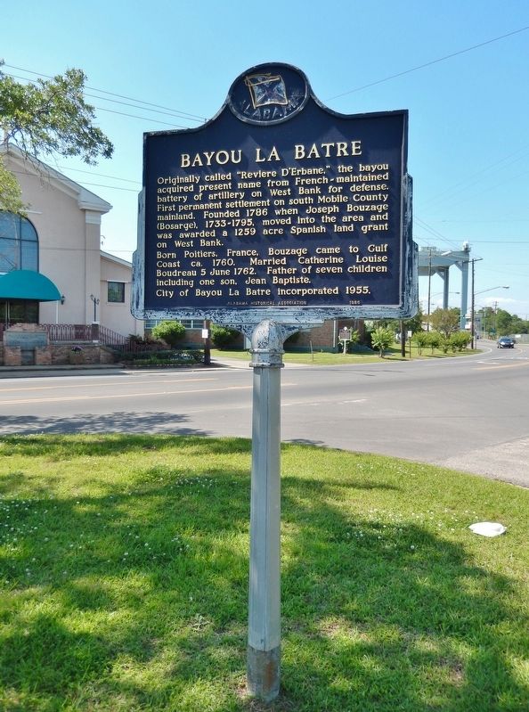
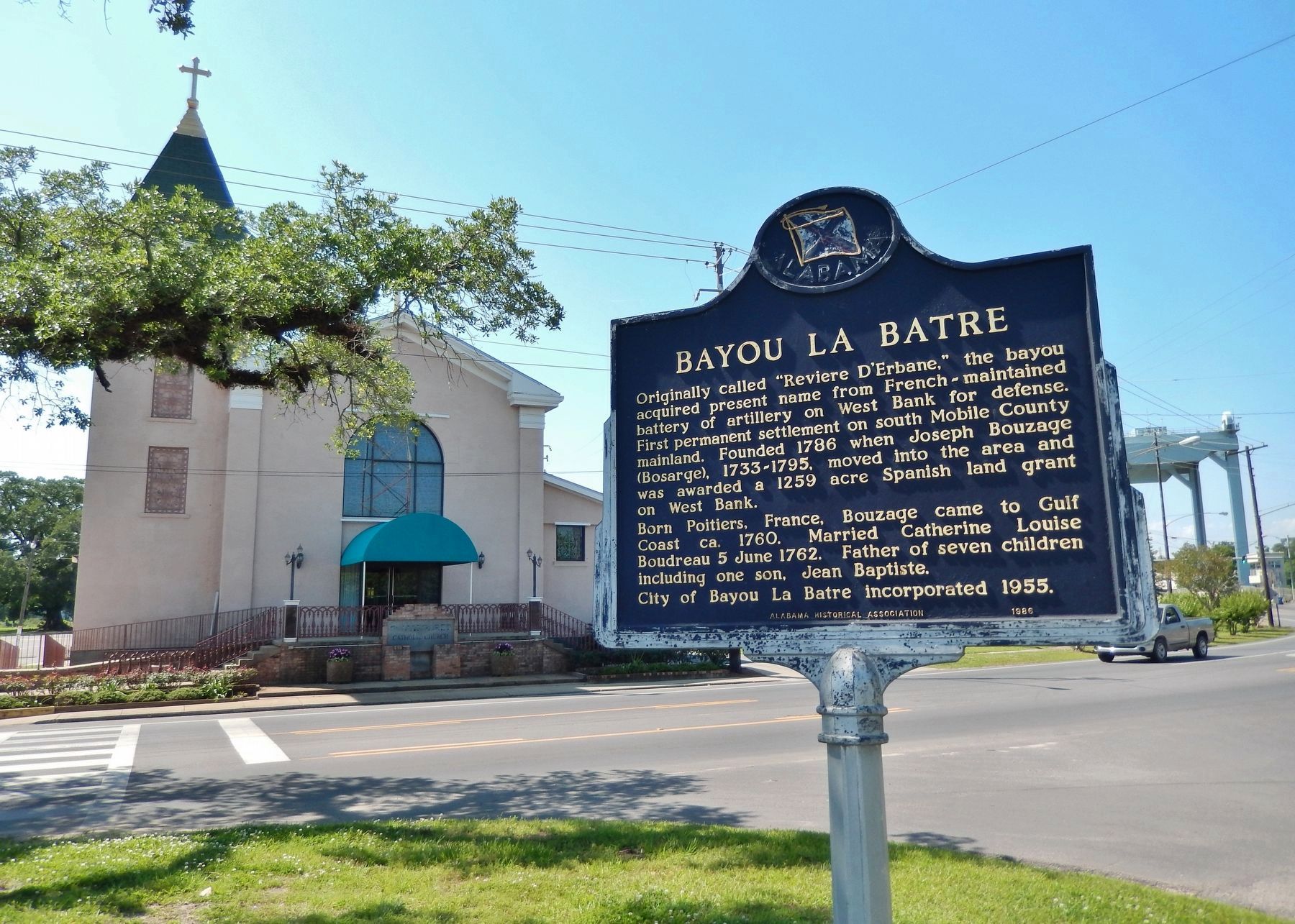
Location. 30° 24.24′ N, 88° 14.872′ W. Marker is in Bayou La Batre, Alabama, in Mobile County. Marker is at the intersection of South Wintzell Avenue (Alabama Route 188) and Tapia Avenue, on the left when traveling south on South Wintzell Avenue. Marker is located in the small, triangular plaza at the north end of the PNC Bank parking lot. Touch for map. Marker is at or near this postal address: 13825 South Wintzell Avenue, Bayou La Batre AL 36509, United States of America. Touch for directions.
Other nearby markers. At least 8 other markers are within 12 miles of this marker, measured as the crow flies. Alabama's Coastal Connection (within shouting distance of this marker); Bayou La Batre, Alabama (within shouting distance of this marker); a different marker also named Bayou La Batre (within shouting distance of this marker); The Story of Bellingrath Gardens (approx. 6.6 miles away); Grand Bay Elementary School for Colored (approx. 7 miles away); Mark 8 Projectile (approx. 9.8 miles away); William Bartram Trail (approx. 9.9 miles away); Military Service Monument (approx. 11.8 miles away in Mississippi). Touch for a list and map of all markers in Bayou La Batre.
Related markers. Click here for a list of markers that are related to this marker. Bayou La Batre, Alabama
Also see . . .
1. Shipbuilding. Bayou La Batre is a center for shipbuilding. The shipyards are owned and operated mainly by local families such as Gazzier Marine Services, Horizon Shipbuilding, Steiner Ship Yard, Rodriguez Boat Builders, Master Boat Buliders, and Landry Boat Works. People from all over the world including the United States, South America, and Africa have boats built in Bayou La Batre frequently. In 2005, Steiner Ship Yard was asked by Walt Disney Studios to build a pirate ship, the Black Pearl; the pitch-black ship was actually a huge wooden prop built on top of a modern 96-foot-long steel utility boat. Crews sailed the ship out of the bayou to the Caribbean for the filming of sequels to Disney's 2003 film "Pirates of the Caribbean: The Curse of the Black Pearl". (Submitted on April 30, 2018, by Cosmos Mariner of Cape Canaveral, Florida.)
2. Bayou La Batre. The town became part of the Mississippi Territory of the United States in 1811 and by the 1830s boasted its own hotel. It became a popular vacation spot after the Civil War for its location on the water. In 1906, a hurricane devastated the town and destroyed its tourist industry. In 2005, Hurricane Katrina devastated the town's fishing fleet and caused severe damage to the town itself. (Submitted on April 30, 2018, by Cosmos Mariner of Cape Canaveral, Florida.)
Credits. This page was last revised on August 30, 2020. It was originally submitted on April 30, 2018, by Cosmos Mariner of Cape Canaveral, Florida. This page has been viewed 765 times since then and 86 times this year. Last updated on May 9, 2018, by Cosmos Mariner of Cape Canaveral, Florida. Photos: 1, 2, 3, 4. submitted on April 30, 2018, by Cosmos Mariner of Cape Canaveral, Florida. • Bernard Fisher was the editor who published this page.


