Near Forreston in Ellis County, Texas — The American South (West South Central)
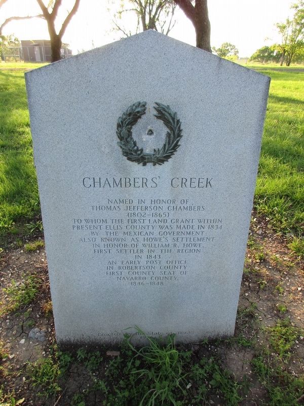
Chambers' Creek
Photographed by Jeff Leichsenring, March 31, 2025
1. Chambers' Creek Marker
Thomas Jefferson Chambers
(1802-1865)
to whom the first land grant within
present Ellis County was made in 1834
by the Mexican government
Also known as Howe's Settlement
in honor of William R. Howe,
first settler in the region
in 1843
An early post office
in Robertson County
First county seat of
Navarro county
1846-1848
Erected 1936 by State of Texas. (Marker Number 7088.)
Topics and series. This historical marker is listed in this topic list: Settlements & Settlers. In addition, it is included in the Texas 1936 Centennial Markers and Monuments series list. A significant historical year for this entry is 1834.
Location. 32° 14.431′ N, 96° 52.187′ W. Marker is near Forreston, Texas, in Ellis County. It is on Mosely Street (U.S. 77) 0.3 miles south of Lumkins Road, on the right when traveling south. Touch for map. Marker is in this post office area: Forreston TX 76041, United States of America. Touch for directions.

Regionally, this marker is in the Prairies & Lakes Region and in the Dallas-Fort Worth Metropolitan Area. Globally, it is in North America, a Gulf of Mexico state, the
this page online
Other nearby markers. At least 8 other markers are within 5 miles of this marker, measured as the crow flies: Cotton Industry in Ellis County (approx. 3 miles away); The Sims Family of Ellis County (approx. 3 miles away); Shawnee Cattle Trail (approx. 3 miles away); John Marr Hardeman (approx. 3.8 miles away); Nash Public School (approx. 3.8 miles away); Thomas Alexander Williams (approx. 3.8 miles away); General Edward H. Tarrant (approx. 3.9 miles away); Italy Colored City Hall (approx. 4.4 miles away).
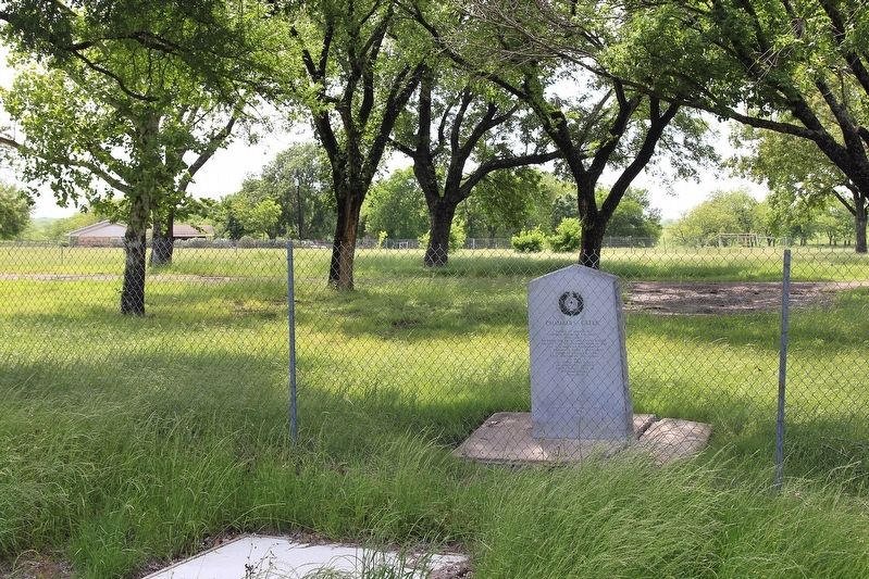
More about this marker. The marker is in a decommissioned roadside park.
Also see . . . Chambers, Thomas Jefferson [1802-1865]. from the Handbook of Texas Online (Submitted on May 12, 2018, by Larry D. Moore of Del Valle, Texas.)
Photographed by Larry D. Moore, May 8, 2018
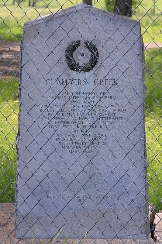
2. Chambers' Creek Marker
Photographed by Larry D. Moore, May 8, 2018
3. Chambers' Creek Marker Area
Credits. This page was last revised on April 2, 2025. It was originally submitted on May 12, 2018, by Larry D. Moore of Del Valle, Texas. This page has been viewed 701 times since then and 55 times this year. Photos: 1. submitted on March 31, 2025, by Jeff Leichsenring of Garland, Texas. 2, 3. submitted on May 12, 2018, by Larry D. Moore of Del Valle, Texas. • Bernard Fisher was the editor who published this page.
