Edgard in St. John the Baptist Parish, Louisiana — The American South (West South Central)
The Slave Quarters
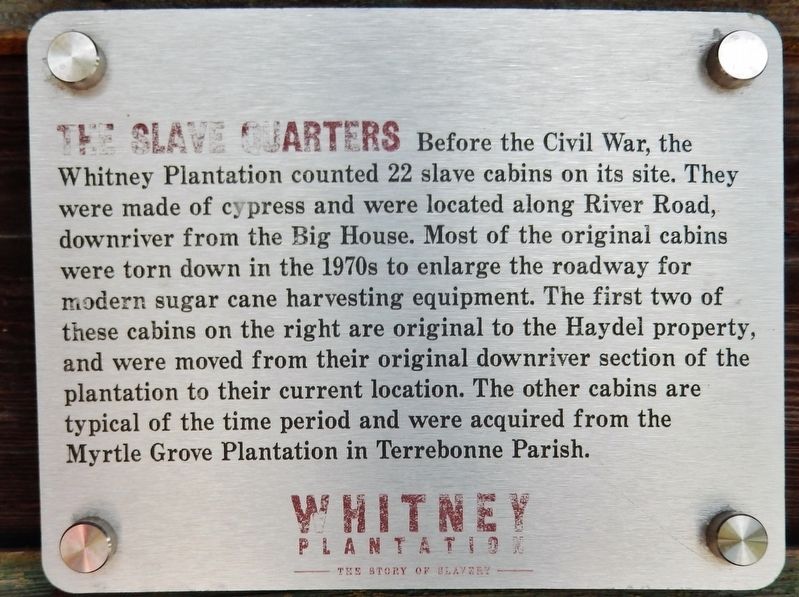
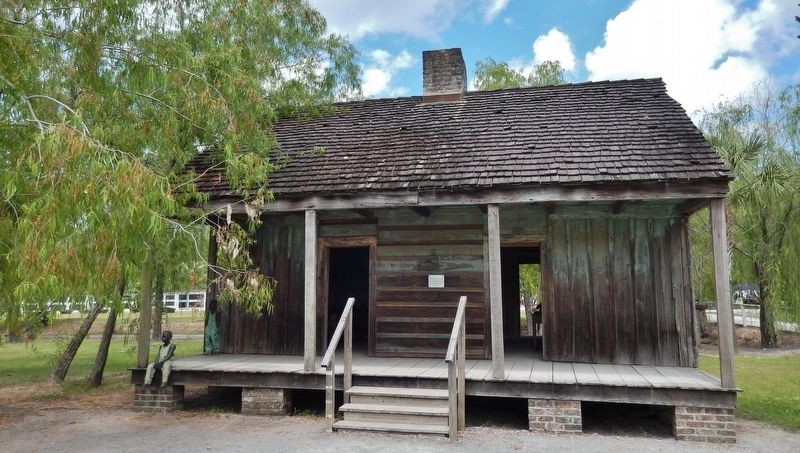
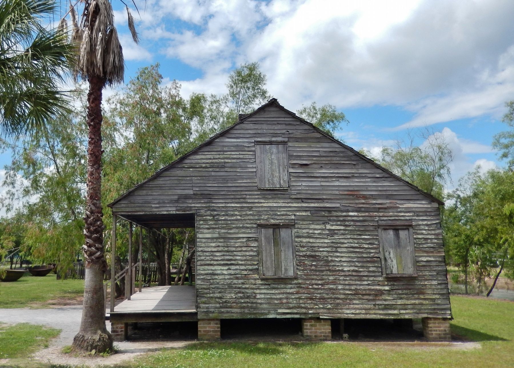
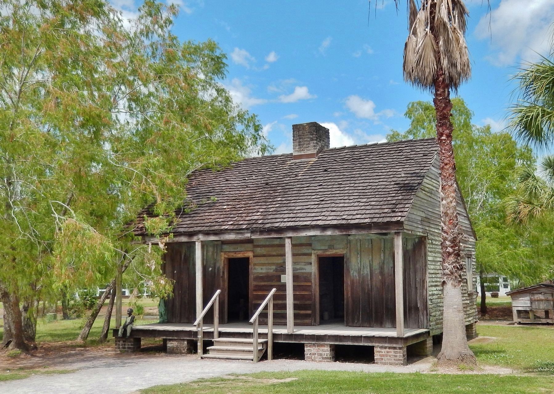
Before the Civil War, the Whitney Plantation counted 22 slave cabins on its site. They were made of cypress and were located along River Road, downriver from the Big House. Most of the original cabins were torn down in the 1970s to enlarge the roadway for modern sugar cane harvesting equipment. The first two of these cabins on the right are original to the Haydel property, and were moved from their original downriver section of the plantation to their current location. The other cabins are typical of the time period and were acquired from the Myrtle Grove Plantation in Terrebonne Parish.
Erected by Whitney Plantation.
Topics. This historical marker is listed in these topic lists: African Americans • Agriculture • Settlements & Settlers.
Location. 30° 2.318′ N, 90° 39.066′ W. Marker is in Edgard, Louisiana, in St. John the Baptist Parish. Marker can be reached from State Highway 18, 1½ miles east of State Highway 3213. Marker is mounted at eye-level, directly on the front wall of the subject slave quarters building, and located within the Whitney Plantation grounds at this address. Touch for map. Marker is at or near this postal address: 5099 Louisiana Highway 18, Edgard LA 70049, United States of America. Touch for directions.
Other nearby markers. At least 8 other markers are within 3 miles of this marker, measured as the crow flies. Allées Gwendolyn Midlo Hall (within shouting distance of this marker); Golden Grove Plantation (approx. 1.7 miles away); Colonial Sugars Refinery (approx. 1.8 miles away); Gramercy (approx. 2.2 miles away); Saint Hubert Parish (approx. 2.3 miles away); Lutcher (approx. 2.6 miles away); Lutcher United Methodist Church (approx. 2.9 miles away); Bald Cypress (approx. 3.1 miles away).
Additional keywords. slavery
Credits. This page was last revised on October 29, 2020. It was originally submitted on May 12, 2018, by Cosmos Mariner of Cape Canaveral, Florida. This page has been viewed 467 times since then and 46 times this year. Photos: 1, 2, 3, 4. submitted on May 12, 2018, by Cosmos Mariner of Cape Canaveral, Florida. • Andrew Ruppenstein was the editor who published this page.


