Near Galena in Delaware County, Ohio — The American Midwest (Great Lakes)
Benajah Cook Sawmill and Farmstead
Photographed by J. J. Prats, May 13, 2018
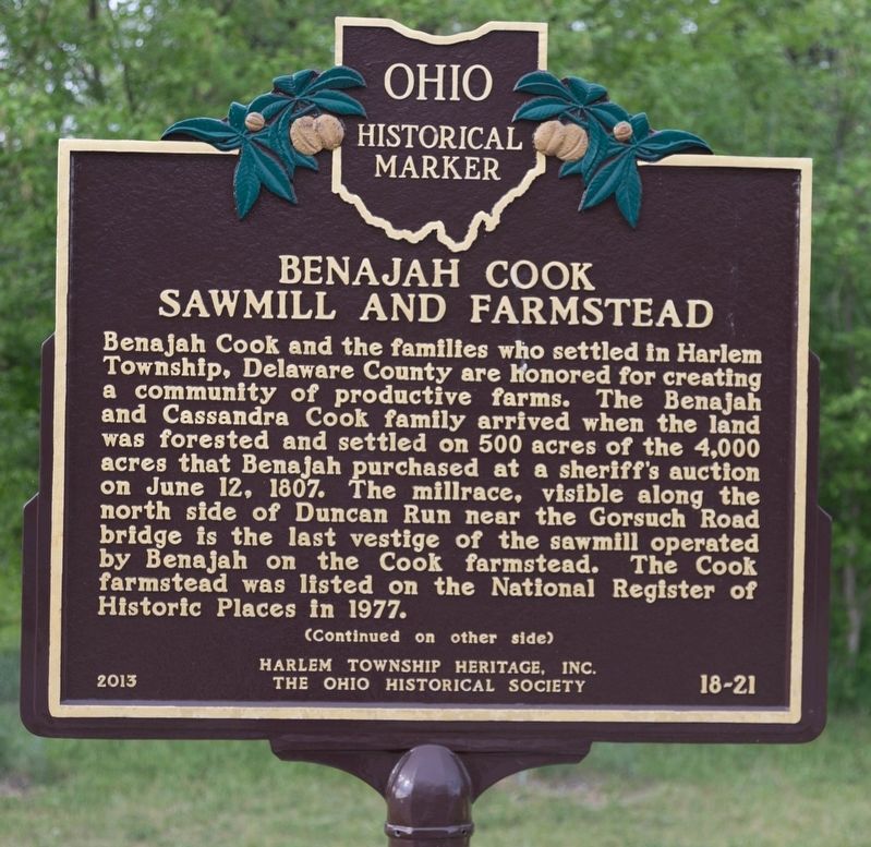
1. Benajah Cook Sawmill and Farmstead Marker, Side 1
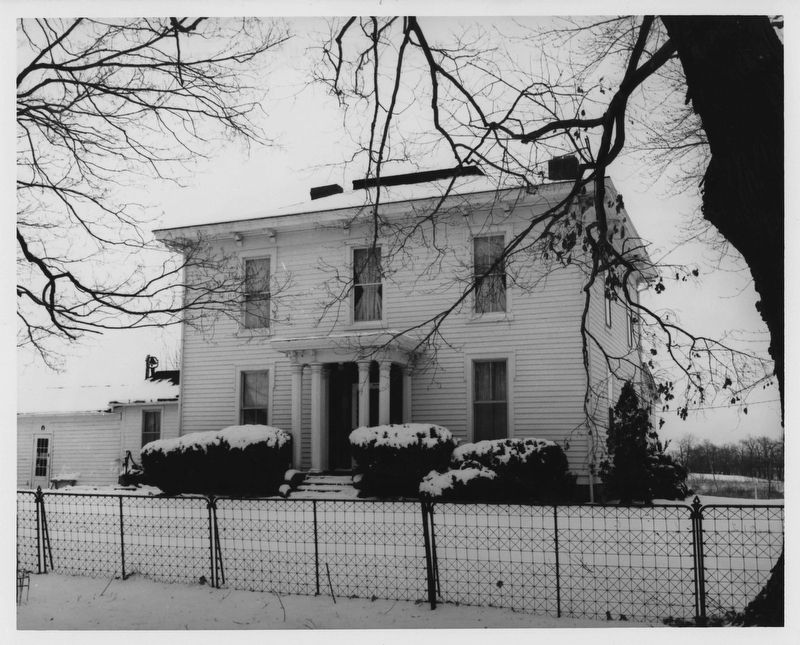
Benajah Cook and the families who settled in Harlem Township, Delaware County are honored for creating a community of productive farms. The Benajah and Cassandra Cook family arrived when the land was forested and settled on 500 acres of the 4,000 acres that Benajah purchased at a sheriff’s auction on June 12, 1807. The millrace, visible along the north side of Duncan Run near the Gorsuch Road Bridge is the last vestige of the sawmill operated by Benajah on the Cook farmstead. The Cook farmstead was listed on the National Register of Historic Places in 1977.
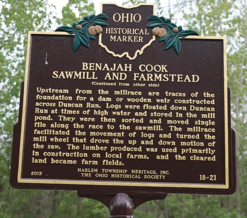
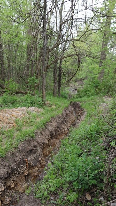
Upstream from the millrace are traces of the foundation for a dam or wooden weir constructed across Duncan Run. Logs were floated down Duncan Run at times of high water and stored in the mill pond. They were then sorted and moved single file along the race to the sawmill. The millrace facilitated the movement of logs and turned the mill wheel that drove the up and down motion of the saw. The lumber produced was used primarily in construction on local farms, and the cleared land became farm fields.
Erected 2013 by Harlem Township Heritage,
this page online
Topics and series. This historical marker is listed in these topic lists: Industry & Commerce • Settlements & Settlers. In addition, it is included in the Ohio Historical Society / The Ohio History Connection series list. A significant historical date for this entry is June 12, 1807.
Location. 40° 9.081′ N, 82° 49.283′ W. Marker is near Galena, Ohio, in Delaware County. It is on Gorsuch Road (Local Route 27) east of Miller-Paul Road (Local Route 18), on the right when traveling east. Touch for map. Marker is in this post office area: Galena OH 43021, United States of America. Touch for directions.

Regionally, this marker is in the Scioto Valley and in the Columbus Metropolitan Area. It is also in the American Midwest and in the Corn Belt. Globally, it is in North America, the Western Hemisphere, the Western World, and the Anglosphere. Historically, it finds itself in what was once the Haudenosaunee (Iroquois) Confederacy, the territory of the Mississippian Culture, and the Northwest Territory.
Other nearby markers. At least 8 other markers are within 5 miles of this
Photographed by J. J. Prats, May 13, 2018
2. Benajah Cook Sawmill and Farmstead Marker, Side 2
Other markers no longer nearby. Smith’s Burying Ground: Pioneer Cemetery (was approx. 4 miles away but has been confirmed missing); Disposal of Land in Plain Township (was approx. 4.3 miles away but has been confirmed missing).
Photographed by J. J. Prats, May 13, 2018
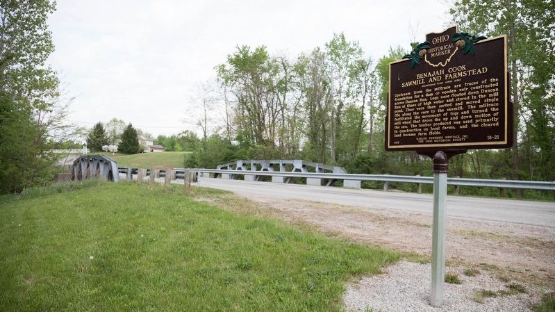
3. Benajah Cook Sawmill and Farmstead Marker
Bridge over Duncan Run is in the near distance.
Photographed by J. J. Prats, May 13, 2018
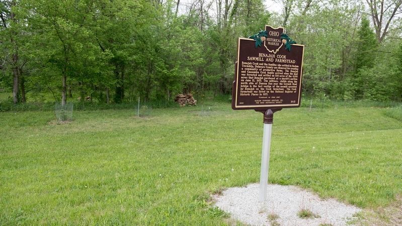
4. Benajah Cook Sawmill and Farmstead Marker
A recently excavated millrace is just inside the tree line past the cairn of stones.
Photographed by J. J. Prats, May 13, 2018
5. A Portion of the Millrace Excavation
Stones that lined the millrace can be seen in the excavation.
Gretchen Klimoski, source: NRHP Nomination Form, 1976
6. John Cook Farm, Delaware County, Ohio
Credits. This page was last revised on June 26, 2022. It was originally submitted on May 16, 2018, by J. J. Prats of Powell, Ohio. This page has been viewed 644 times since then and 52 times this year. Photos: 1, 2, 3, 4, 5. submitted on May 16, 2018, by J. J. Prats of Powell, Ohio. 6. submitted on June 21, 2020, by J. J. Prats of Powell, Ohio.
