Green Hills in Nashville in Davidson County, Tennessee — The American South (East South Central)
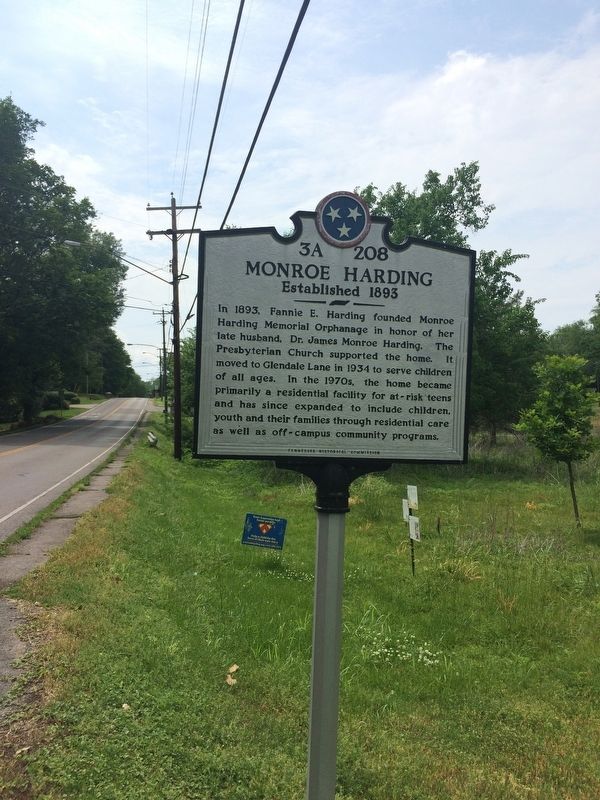
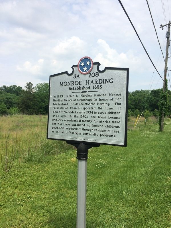
Monroe Harding
Established 1893
Photographed by Steve Masler, May 16, 2018
1. Monroe Harding Marker
Erected by Tennessee Historical Commission. (Marker Number 3A 208.)
Topics and series. This historical marker is listed in this topic list: Charity & Public Work. In addition, it is included in the Tennessee Historical Commission series list. A significant historical year for this entry is 1893.
Location. 36° 5.665′ N, 86° 47.737′ W. Marker is in Nashville, Tennessee, in Davidson County. It is in Green Hills. It is at the intersection of Glendale Lane and Glendale Square on Glendale Lane. Touch for map. Marker is at or near this postal address: 1120 Glendale Lane, Nashville TN 37204, United States of America. Touch for directions.

Regionally, this marker is in Middle Tennessee.
this page online
Other nearby markers. At least 8 other markers are within walking distance of this marker: John Trotwood Moore (approx. 0.3 miles away); Glendale Park (approx. 0.3 miles away); Josephine Groves Holloway / Girl Scouts of Middle Tennessee (approx. half a mile away); Confederate Defenses (approx. half a mile away); Battle of Nashville (approx. 0.6 miles away); a different marker also named Battle of Nashville (approx. 0.7 miles away); Homes of David Lipscomb (approx. 0.8 miles away); Nashville Christian Institute (approx. 0.8 miles away). Touch for a list and map of all markers in Nashville.
Another marker is no longer nearby. Battle of Nashville (was approx. 0.6 miles away but has been confirmed missing).
Photographed by Steve Masler, May 16, 2018
2. Monroe Harding Marker
Photographed by Steve Masler, May 16, 2018
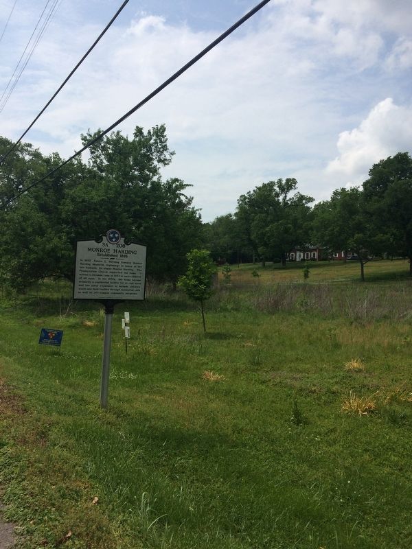
3. Monroe Harding Marker
Credits. This page was last revised on February 7, 2023. It was originally submitted on May 17, 2018, by Steve Masler of Memphis, Tennessee. This page has been viewed 845 times since then and 72 times this year. Photos: 1, 2, 3. submitted on May 17, 2018, by Steve Masler of Memphis, Tennessee. • Bill Pfingsten was the editor who published this page.
