Middletown in Frederick County, Virginia — The American South (Mid-Atlantic)
Bearing the Brunt
Cedar Creek and Belle Grove National Historical Park
— National Park Service, U.S. Department of the Interior —
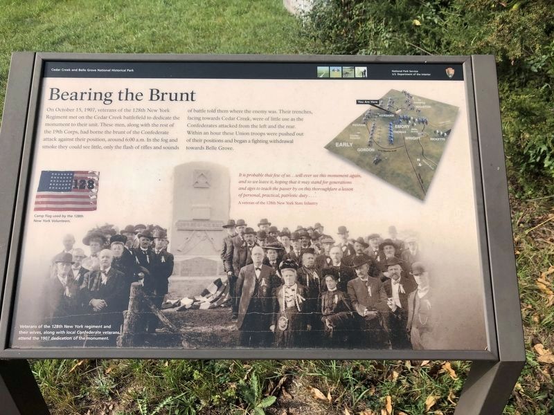
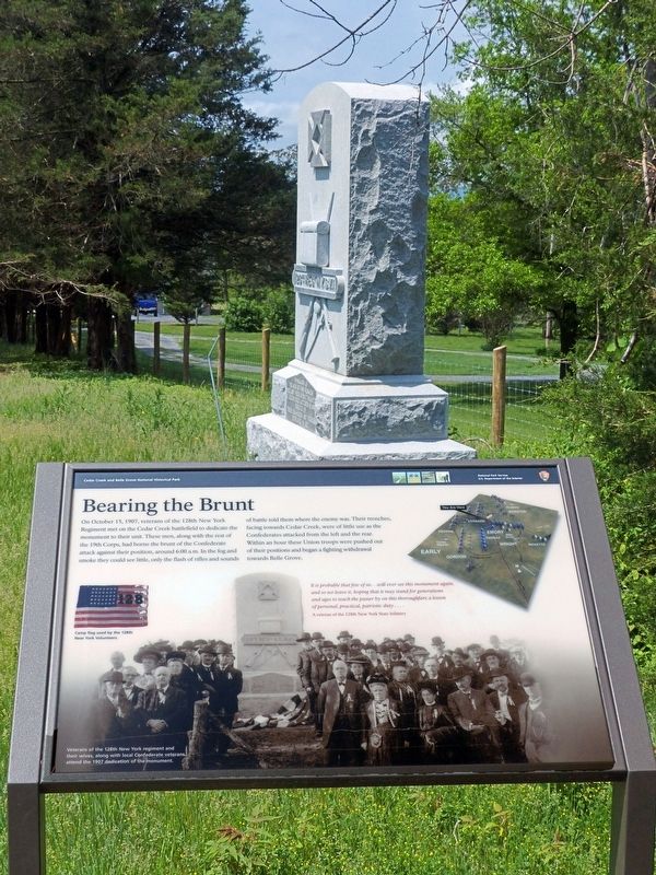
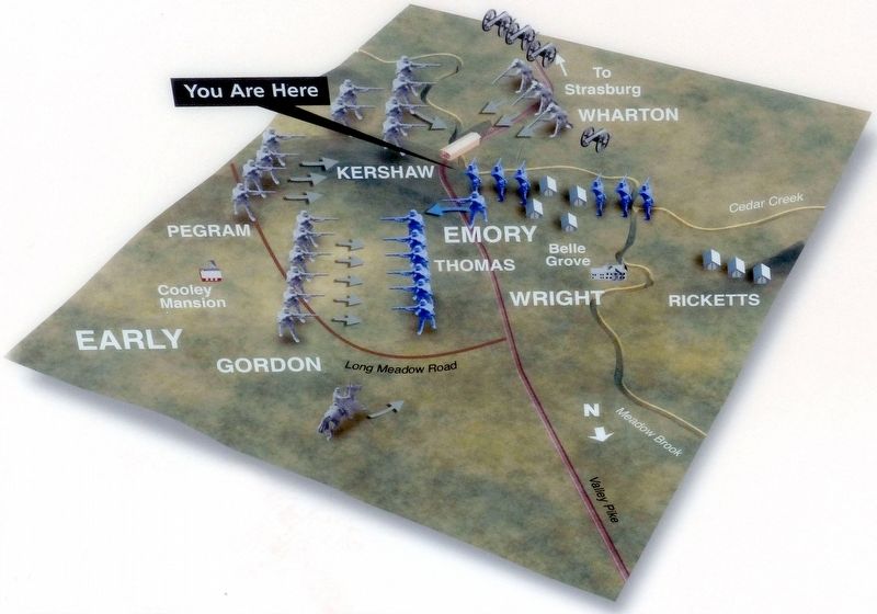
On October 15, 1907, veterans of the 128th New York Regiment met on the Cedar Creek battlefield to dedicate the monument to their unit. These men, along with the rest of the 19th Corps, had borne the brunt of the Confederate attack against their position, around 6:00 a.m. In the fog and smoke they could see little, only the flash of rifles and sounds of battle told them where the enemy was. Their trenches, facing towards Cedar Creek, were of little use as the Confederates attacked from the left and the rear. Within an hour these Union troops were pushed out of their positions and began a fighting withdrawal towards Belle Grove.
It is probable that few of us…will ever see this monument again, and so we leave it, hoping that it may stand for generations and ages to teach the passer by on this thoroughfare a lesson of personal, practical, patriotic duty....
A veteran of the 128th New York State Infantry
Erected by National Park Service, U.S. Department of the Interior.
Topics. This historical marker is listed in this topic list: War, US Civil. A significant historical date for this entry is October 15, 1907.
Location. 39° 0.531′ N, 78° 18.588′ W. Marker is in Middletown, Virginia, in Frederick County. Marker is on Valley Pike (U.S. 11) north of Water Plant Road, on the left when traveling north. Touch for map. Marker is at or near this postal address: 8886 Valley Pike, Middletown VA 22645, United States of America. Touch for directions.
Other nearby markers. At least 8 other markers are within walking distance of this marker. Outflanked! (here, next to this marker); 128th Regt N.Y.S.V.I. (a few steps from this marker); 128th New York Volunteer Regiment (a few steps from this marker); Battle of Cedar Creek (within shouting distance of this marker); South Carolina Troops at Cedar Creek (about 600 feet away, measured in a direct line); Union Trenches (approx. ¼ mile away); The Shenandoah Valley / Battle of Cedar Creek, October 19, 1864 (approx. 0.3 miles away); Slowing the Advance (approx. 0.3 miles away). Touch for a list and map of all markers in Middletown.
Also see . . . Cedar Creek & Belle Grove National Historical Park. National Park Service (Submitted on May 21, 2018.)
Credits. This page was last revised on October 28, 2023. It was originally submitted on May 17, 2018, by Allen C. Browne of Silver Spring, Maryland. This page has been viewed 303 times since then and 20 times this year. Photos: 1. submitted on October 24, 2020, by Devry Becker Jones of Washington, District of Columbia. 2, 3. submitted on May 17, 2018, by Allen C. Browne of Silver Spring, Maryland. • Bernard Fisher was the editor who published this page.


