Ojai in Ventura County, California — The American West (Pacific Coastal)
The Ojai Arcade
Photographed by Craig Baker, May 17, 2018
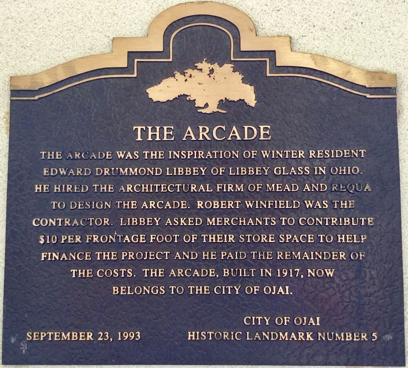
1. Ojai Arcade Marker
Erected 1993 by City of Ojai. (Marker Number 5.)
Topics. This historical marker is listed in this topic list: Architecture. A significant historical year for this entry is 1917.
Location. 34° 26.879′ N, 119° 14.689′ W. Marker is in Ojai, California, in Ventura County. It can be reached from East Ojai Avenue south of South Signal Street, on the left when traveling east. Touch for map. Marker is at or near this postal address: 246 East Ojai Avenue, Ojai CA 93023, United States of America. Touch for directions.

Regionally, this marker is in Greater Los Angeles, on the Central Coast, and in the Transverse Ranges. It is also on the American Pacific Coast. Globally, it is in North America, on the Ring of Fire,
this page online
Other nearby markers. At least 8 other markers are within one mile of this marker, measured as the crow flies: Ojai Post Office Tower and Portico (about 300 feet away, measured in a direct line); Nordhoff School (about 400 feet away); The History of Libbey Bowl (about 600 feet away); Saint Thomas Aquinas Catholic Church (approx. 0.2 miles away); Ojai City Jail (approx. 0.2 miles away); Ojai Valley Inn & Spa (approx. one mile away); Matilija Junction RR Station (approx. one mile away); Weinberger Memorial Garden (approx. one mile away). Touch for a list and map of all markers in Ojai.
Photographed by Craig Baker, May 17, 2018
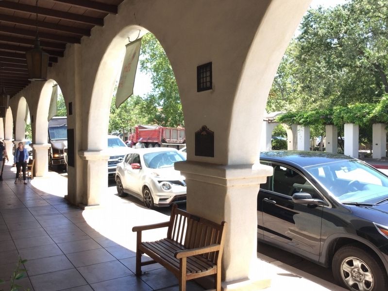
2. Ojai Arcade Marker
Photographed by Craig Baker, May 17, 2018
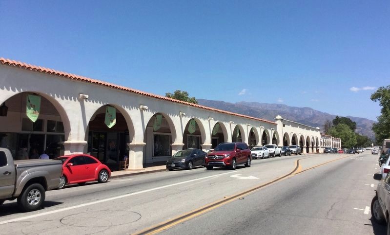
3. The Ojai Arcade
Photographed by Craig Baker, May 17, 2018
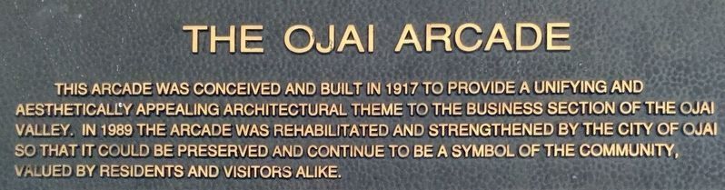
4. Second Marker
This arcade was conceived and built in 1917 to provide a unifying and aesthetically appealing architectural theme to the business section of the Ojai Valley. In 1989 the arcade was rehabilitated and strengthened by the City of Ojai so that it could be preserved and continue to be a symbol of the community, valued by residents and visitors alike.
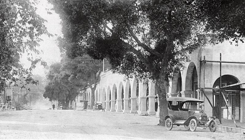
courtesy Museum of Ventura County
5. The Ojai Arcade
Credits. This page was last revised on December 19, 2023. It was originally submitted on May 18, 2018, by Craig Baker of Sylmar, California. This page has been viewed 4,412 times since then and 654 times this year. Photos: 1, 2, 3, 4. submitted on May 18, 2018, by Craig Baker of Sylmar, California. 5. submitted on December 19, 2023, by Craig Baker of Sylmar, California. • Syd Whittle was the editor who published this page.
