Palmyra in Wayne County, New York — The American Northeast (Mid-Atlantic)
Creating a Farm
Photographed by Anton Schwarzmueller, May 21, 2018
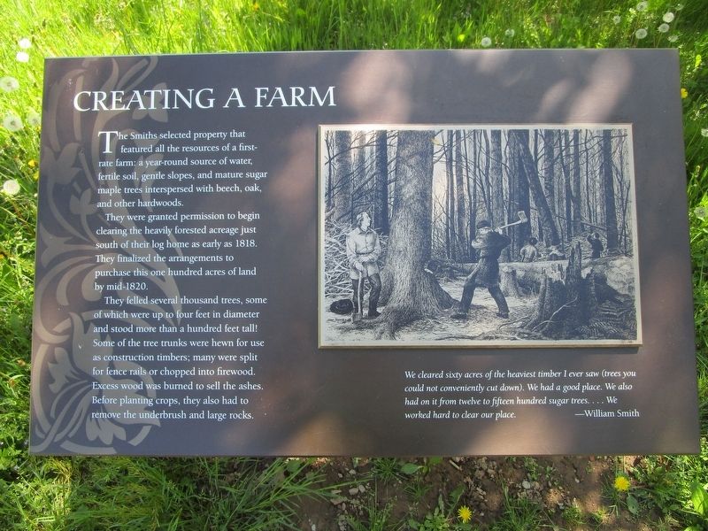
1. Creating a Farm Marker
The Smiths selected property that featured all the resources of a first-rate farm: a year-round source of water, fertile soil, gentle slopes, and mature sugar maple trees interspersed with beech, oak, and other hardwoods.
They were granted permission to begin clearing the heavily forested acreage just south of their log home as early as 1818. They finalized the arrangements to purchase this one hundred acres of land by mid-1820.
They felled several thousand trees, some of which were up to four feet in diameter and stood more than a hundred feet tall! Some of the tree trunks were hwen for use as construction timbers; mant were split for fence rails or chaopped into firewood. Excess wood was burned to sell the ashes. Before planting crops, they also had to remove the underbrush and large rocks.
We cleared sixty acres of the heaviest timber I ever saw 9trees you could not conveniently cut down). We had a good place. We also had it from twelve to fifteen hundred sugar trees....We worked hard to clear our place. -William Smith
Erected by Joseph Smith Farm.
Topics. This historical marker is listed
this page online
Location. 43° 2.396′ N, 77° 14.499′ W. Marker is in Palmyra, New York, in Wayne County. It is at the intersection of Stafford Road and Temple Road on Stafford Road. Marker is on the grounds of the Joseph Smith Farm. He was the founder of Mormanism. Touch for map. Marker is at or near this postal address: 843 Stafford Road, Palmyra NY 14522, United States of America. Touch for directions.

Regionally, this marker is in Upstate New York, specifically in Western New York, in the Finger Lakes, and in the Rochester Metropolitan Area. It is also in the American Northeast and in the Mid-Atlantic. Globally, it is in North America, on the Great Lakes, in the Western Hemisphere, in the Western World, and in the Anglosphere. Historically, it finds itself in what was once the Haudenosaunee (Iroquois) Confederacy, New Netherland, and one of the original Thirteen Colonies.
Other nearby markers. At least 8 other markers are within walking distance of this marker: The Sacred Grove (within shouting distance of this marker); The Eight Witnesses
Photographed by Anton Schwarzmueller, May 21, 2018
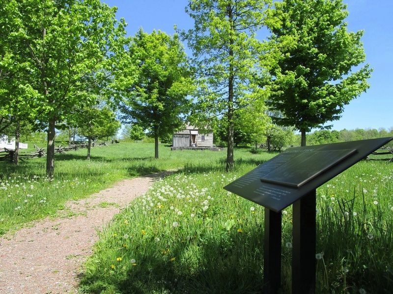
2. Creating a Farm Marker
On the path behind the "Log Home" seen in the background. Continue in the opposite direction, into the woods, to the "sacred Grove".
Credits. This page was last revised on May 22, 2018. It was originally submitted on May 22, 2018, by Anton Schwarzmueller of Wilson, New York. This page has been viewed 277 times since then and 24 times this year. Photos: 1, 2. submitted on May 22, 2018, by Anton Schwarzmueller of Wilson, New York.
