Randolph in Norfolk County, Massachusetts — The American Northeast (New England)
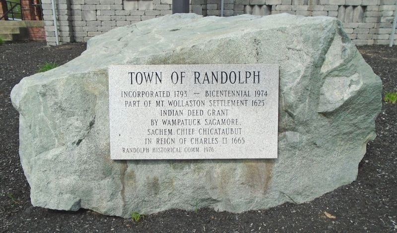
Town of Randolph
Part of Mt. Wollaston Settlement 1625
Indian Deed Grant
by Wampatuck Sagamore,
Sachem Chief Chicataubut
in reign of Charles II 1665
Erected 1976 by Randolph Historical Commission.
Topics. This historical marker is listed in this topic list: Settlements & Settlers. A significant historical year for this entry is 1793.
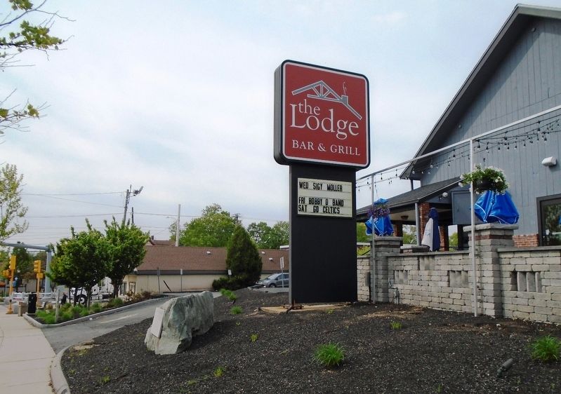
Location. 42° 11.521′ N, 71° 3.581′ W. Marker is in Randolph, Massachusetts, in Norfolk County. Marker is at the intersection of Main Street (Massachusetts Route 28) and Pauline Street, on the left when traveling north on Main Street. Touch for map. Marker is at or near this postal address: 1064 North Main Street, Randolph MA 02368, United States of America. Touch for directions.
Other nearby markers. At least 8 other markers are within 5 miles of this marker, measured as the crow flies. Braintree (approx. 3.1 miles away); Ponkapoag Plantation (approx. 3.1 miles away); Granite Railway Incline (approx. 3.9 miles away); The Granite Railway (approx. 3.9 miles away); Abigail Adams Cairn (approx. 4.3 miles away); Adams National Historical Park (approx. 4.4 miles away); Milton Cemetery (approx. 4˝ miles away); 54th Infantry - 55th Infantry - 5th Cavalry (approx. 4.8 miles away).
Also see . . . Randolph, Massachusetts at Wikipedia. (Submitted on May 28, 2018, by William Fischer, Jr. of Scranton, Pennsylvania.)
Credits. This page was last revised on May 28, 2018. It was originally submitted on May 28, 2018, by William Fischer, Jr. of Scranton, Pennsylvania. This page has been viewed 185 times since then and 10 times this year. Photos: 1, 2. submitted on May 28, 2018, by William Fischer, Jr. of Scranton, Pennsylvania.

