Ocean Shores in Grays Harbor County, Washington — The American West (Northwest)
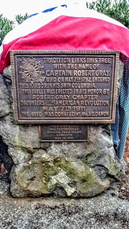
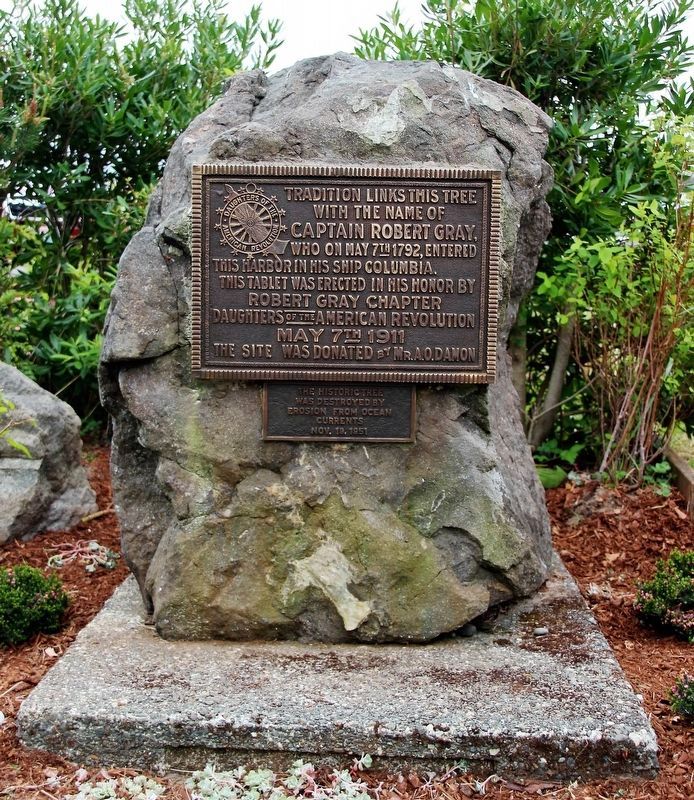
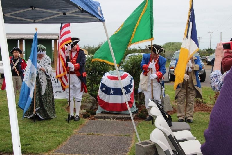
Captain Robert Gray
with the name of
Captain Robert Gray
who on May 7th 1792, entered
this harbor in his ship Columbia.
This tablet was erected in his honor by
Robert Gray Chapter
Daughters of the American Revolution
May 7th 1911
The site was donated by Mr. A. O. Damon
The historic tree was destroyed by erosion from ocean currents Nov. 19, 1951.
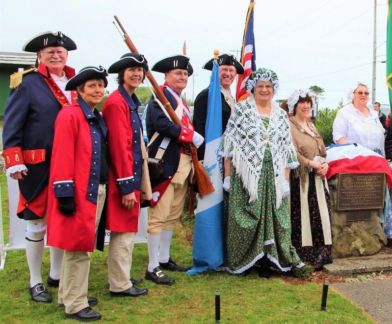
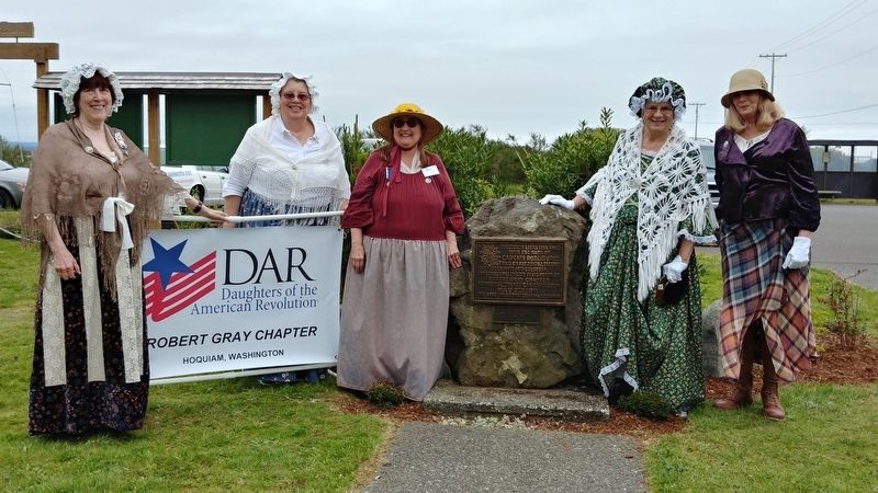
Erected 1911 by Robert Gray Chapter Daughters of the American Revolution.
Topics and series. This historical marker is listed in these topic lists: Air & Space • Exploration. In addition, it is included in the Daughters of the American Revolution series list. A significant historical date for this entry is May 7, 1792.
Location. 46° 57.123′ N, 124° 7.897′ W. Marker is in Ocean Shores, Washington, in Grays Harbor County. Marker can be reached from Catalo Avenue Southeast. On the grounds of Coastal Interpretive Center. Touch for map. Marker is at or near this postal address: 1033 Catalo Avenue Southeast, Ocean Shores WA 98569, United States of America. Touch for directions.
Other nearby markers. At least 1 other marker is within 4 miles of this marker, measured as the crow flies. Fort Chehalis (approx. 4.1 miles away).
Credits. This page was last revised on May 29, 2018. It was originally submitted on May 7, 2018, by Shirley A Stirling of Lacey, Washington. This page has been viewed 388 times since then and 18 times this year. Last updated on May 29, 2018, by Shirley A Stirling of Lacey, Washington. Photos: 1. submitted on May 7, 2018, by Shirley A Stirling of Lacey, Washington. 2, 3. submitted on May 28, 2018, by Shirley A Stirling of Lacey, Washington. 4. submitted on May 7, 2018, by Shirley A Stirling of Lacey, Washington. 5. submitted on May 28, 2018, by Shirley A Stirling of Lacey, Washington. • Andrew Ruppenstein was the editor who published this page.
