Founding of the Reykjavik Water Utility / Uphaf vatnsveitu
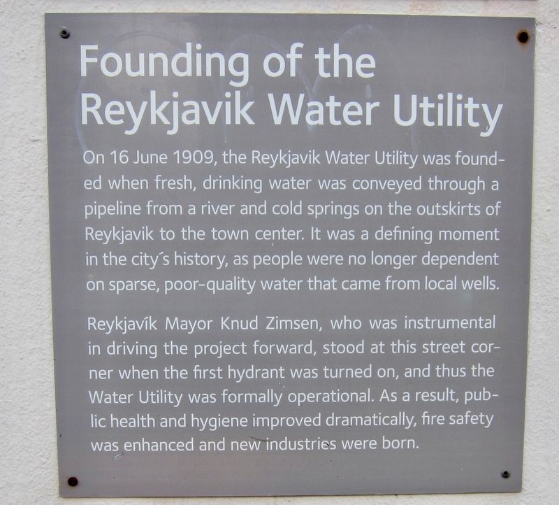
On 16 June 1909, the Reykjavik Water Utility was founded when fresh, drinking water was conveyed through a pipeline from a river and cold springs on the outskirts of Reykjavik to the town center. It was a defining moment in the city's history, as people were no longer dependent on sparse, poor-quality water that came from local wells.
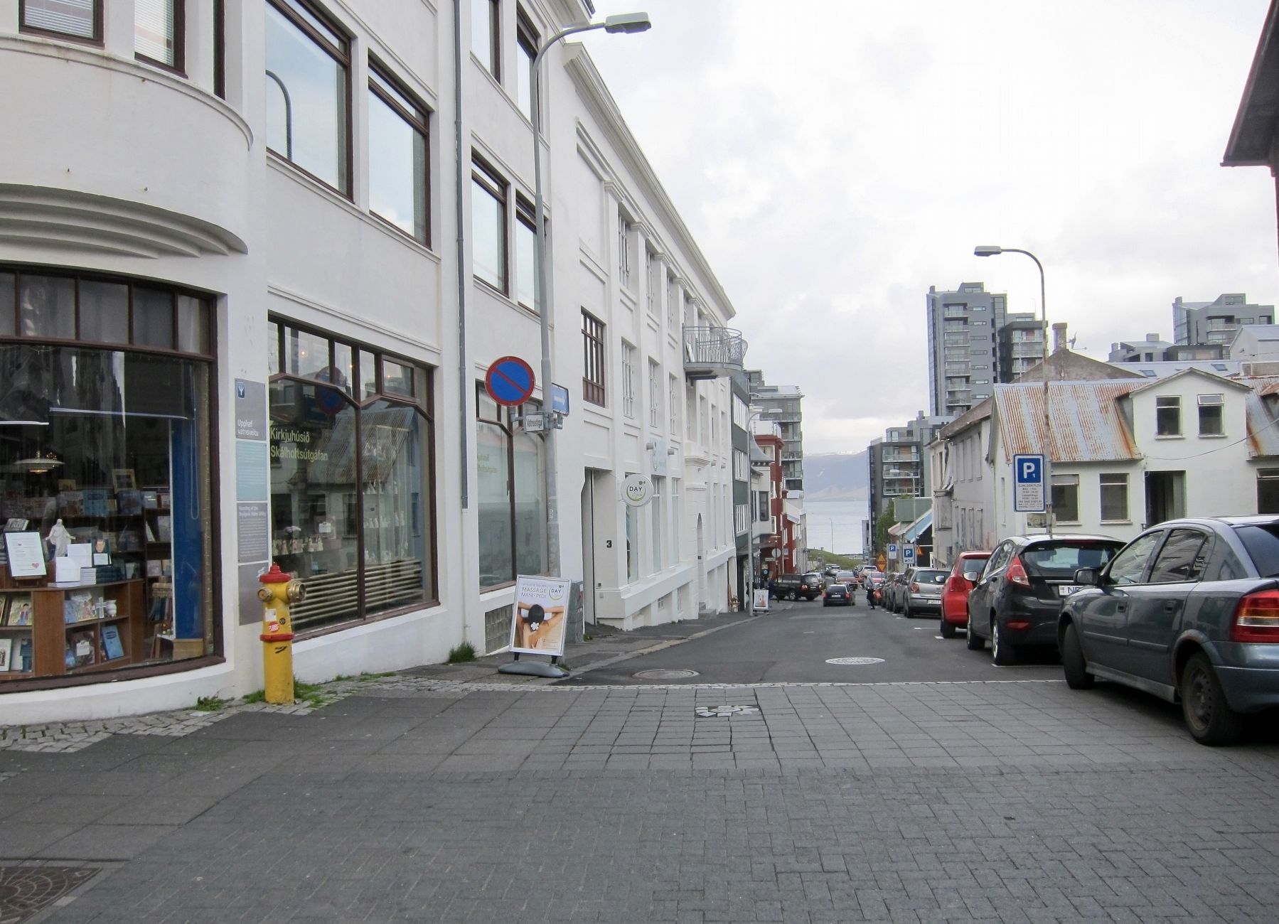
ReykjavÝk Mayor Knud Zimsen, who was instrumental in driving the project forward, stood at this street cor-ner when the first hydrant was turned on, and thus the Water Utility was formally operational. As a result, public health and hygiene improved dramatically, fire safety was enhanced and new industries were born.
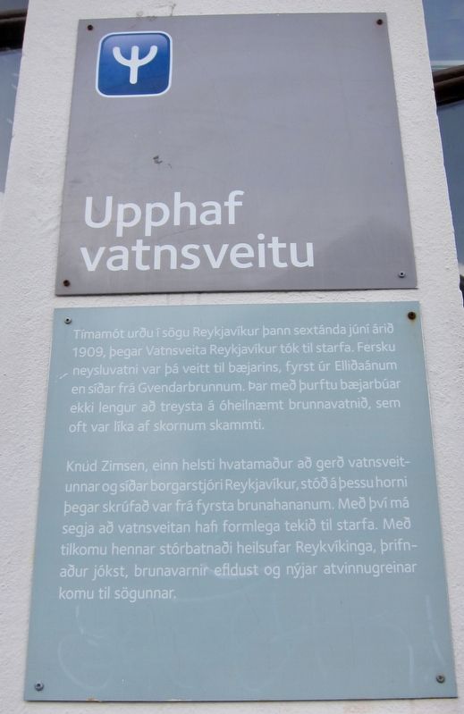
(Icelandic panel:)
Knud Zimsen, einn helsti hvatamaur a ger vatnsveitunnar og siar borgarstjˇri Reykjavikur,
Erected by Orkuveita ReykjavÝkur.
Topics. This historical marker is listed in this topic list: Notable Events. A significant historical date for this entry is June 16, 1909.
Location. 64° 8.726′ N, 21° 55.638′ W. Marker is in ReykjavÝk, Capital Region (H÷fuborgarsvŠi), in ReykjavÝkurborg. It is in Downtown. Marker is at the intersection of Laugavegur and VatnsstÝgur, on the right when traveling west on Laugavegur. Touch for map. Marker is at or near this postal address: Laugavegur 31, ReykjavÝk, Capital Region 101, Iceland. Touch for directions.
Other nearby markers. At least 8 other markers are within walking distance of this marker. Hverfisgata 45 (within shouting distance of this marker); Laugavegur 15 (about 150 meters away, measured in a direct line); Skˇlav÷rustÝgur 13 (about 180 meters away); Skˇlav÷rustÝgur 11 (about 180 meters away); Tobbukot (about 180 meters away); Sj˙krah˙s HvÝtabandsins / White Ribbon Hospital (approx. 0.3 kilometers away); Laugavegur (approx. 0.3 kilometers away); The Culture House / Safnah˙si (approx. 0.3 kilometers away). Touch for a list and map of all markers in ReykjavÝk.
Credits. This page was last revised on June 2, 2018. It was originally submitted on May 29, 2018, by Andrew Ruppenstein of Lamorinda, California. This page has been viewed 158 times since then and 10 times this year. Photos: 1, 2, 3. submitted on May 29, 2018, by Andrew Ruppenstein of Lamorinda, California.


