Ozona in Crockett County, Texas — The American South (West South Central)
Crockett County's First Producing Oil Well

Photographed by Brian Anderson, July 6, 2019
1. Crockett County's First Producing Oil Well Marker
Powell No. 1 was the beginning of a vital new industry for Crockett County, before 1925 primarily a ranching area. The next important strike occurred in the Crockett Field in 1938. There are currently
this page online
Erected 1975 by Texas Historical Commission. (Marker Number 1113.)
Topics. This historical marker is listed in this topic list: Natural Resources. A significant historical year for this entry is 1925.
Location. 30° 54.671′ N, 101° 26.788′ W. Marker is in Ozona, Texas, in Crockett County. It is at the intersection of U.S. 190 and State Highway 137, on the right when traveling west on U.S. 190. Touch for map. Marker is in this post office area: Ozona TX 76943, United States of America. Touch for directions.

Regionally, this marker is in West Texas. It is also in the American Borderlands. Globally, it is in North America, a Gulf of Mexico state, the Western Hemisphere, the Western World, and the Anglosphere. Historically, it finds itself in what was once New Spain, the Republic of Texas, and one of the Confederate States of America.
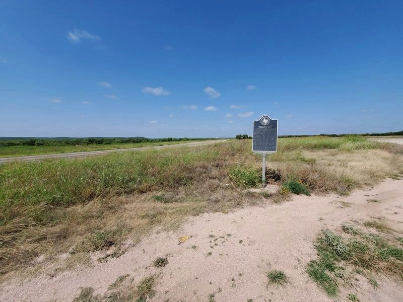
Photographed by Brian Anderson, July 6, 2019
2. Crockett County's First Producing Oil Well Marker
Credits. This page was last revised on August 5, 2019. It was originally submitted on May 30, 2018, by Brian Anderson of New Albany, Ohio. This page has been viewed 1,917 times since then and 192 times this year. Photos: 1, 2. submitted on July 11, 2019, by Brian Anderson of New Albany, Ohio. • Bernard Fisher was the editor who published this page.
