City of London in Greater London, England, United Kingdom — Northwestern Europe (the British Isles)
The London Wall Walk – 18
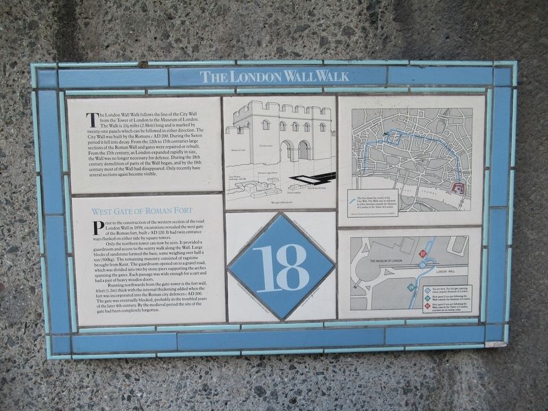
The London Wall Walk follows the line of the City Wall from the Tower of London to the Museum of London. The Walk is 1¾ miles (2.8km) long and is marked by twenty-one panels which can be followed in either direction. The City Wall was built by the Romans c AD 200. During the Saxon period it fell into decay. From the 12th to 17th centuries large sections of the Roman Wall and gates were repaired or rebuilt. From the 17th century, as London expanded rapidly in size, the Wall was no longer necessary for defence. During the 18th century demolition of parts of the Wall began, and by the 19th century most of the Wall had disappeared. Only recently have several sections again become visible.
West Gate of Roman Fort
Prior to the construction of the western section of the road London Wall in 1959, excavations revealed the west gate of the Roman fort, built c AD 120. It had twin entrance ways flanked on either side by square towers.
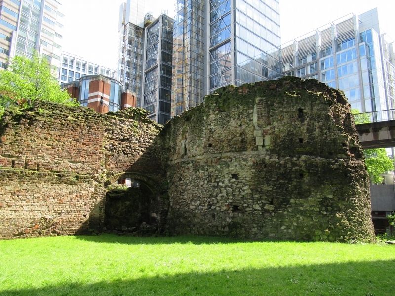
Only the northern tower can now be seen. It provided a guardroom and access to the sentry walk along the Wall. Large blocks of sandstone formed the base, some weighing over half a ton (500kg). The remaining masonry consisted of ragstone brought from Kent. The guardroom opened on to a gravel road, which was divided into two by stone piers supporting the arches spanning the gates. Each passage was wide enough for a cart and had a pair of heavy wooden doors.
Running northwards from the gate-tower is the fort wall, 4 feet (1.2m) thick with the internal thickening added when the fort was incorporated into the Roman city defences c AD 200. The gate was eventually blocked, probably in the troubled years of the later 4th century. By the medieval period the site of the gate had been completely forgotten. (Marker Number 18.)
Topics. This historical marker is listed in this topic list: Forts and Castles.
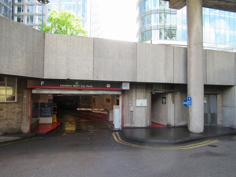
Location. 51° 31.059′ N, 0° 5.715′ W. Marker is in City of London, England, in Greater London. Marker is at the intersection of London Wall and Noble Street, on the right when traveling west on London Wall. Located next to the London Wall Car Park near the Museum of London. Touch for map. Marker is in this post office area: City of London, England EC2V 5DY, United Kingdom. Touch for directions.
Other nearby markers. At least 8 other markers are within walking distance of this marker. London City Wall - Bastion 14 (a few steps from this marker); William Shakespeare (within shouting distance of this marker); St. Olave Silver Street (within shouting distance of this marker); London City Wall - Bastion 13 (within shouting distance of this marker); Out of the ashes (within shouting distance of this marker); Streets ahead (about 90 meters away, measured in a direct line); The London Wall Walk – 15 (about 90 meters away); Set in stone (about 90 meters away). Touch for a list and map of all markers in City of London.
Also see . . .
1. London’s Roman City Wall. (Submitted on June 3, 2018, by Michael Herrick of Southbury, Connecticut.)
2. London Wall on Wikipedia. (Submitted on June 3, 2018, by Michael Herrick of Southbury, Connecticut.)
Credits. This page was last revised on January 27, 2022. It was originally submitted on June 3, 2018, by Michael Herrick of Southbury, Connecticut. This page has been viewed 165 times since then and 19 times this year. Photos: 1, 2, 3. submitted on June 3, 2018, by Michael Herrick of Southbury, Connecticut.


