City of London in Greater London, England, United Kingdom — Northwestern Europe (the British Isles)
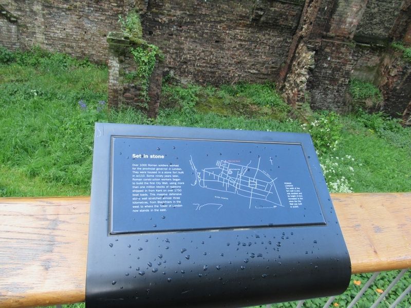
Set in stone
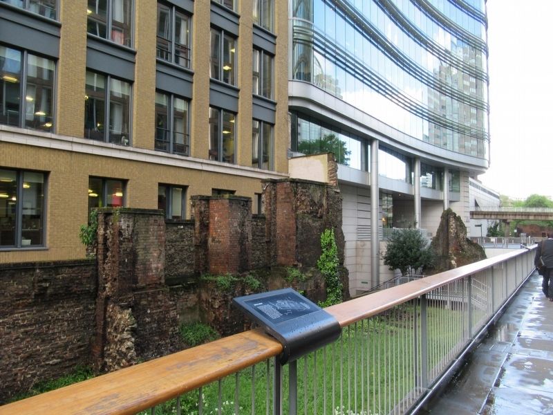
Over 1000 Roman soldiers worked for the provincial governor in London. They were housed in a stone fort built in AD110. Some ninety years later, Roman construction workers began to build the first City Wall, using more than one million blocks of ragstone shipped in from Kent on over 1750 boat loads. This massive defensive stone wall stretched almost three kilometres, from Blackfriars in the west to where the Tower of London now stands in the east.
Roman London
Thw width of the fort wall (1.2m) was doubled and its height (4.5m) increased to 6m when the City Wall was built in AD 200.
Topics. This historical marker is listed in this topic list: Forts and Castles.
Location. 51° 31.008′ N, 0° 5.742′ W. Marker is in City of London, England, in Greater London. Marker can be reached from the intersection of Noble Street and London Wall, on the left when traveling north. Touch for map. Marker is in this post office area: City of London, England EC2V 7EE, United Kingdom. Touch for directions.
Other nearby markers. At least 8 other markers are within walking distance of this marker. Coachmakers' Hall (here, next to this marker); Fire prevention (a few steps from this marker); The boundary of St Botolph (a few steps from this marker); Streets ahead (a few steps from this marker); Noble Street Garden (a few steps from this marker); Out of the ashes (within shouting distance of this marker); Pewterers Hall (within shouting distance of this marker); St. Olave Silver Street (within shouting distance of this marker). Touch for a list and map of all markers in City of London.
Also see . . .
1. London’s Roman City Wall. (Submitted on June 3, 2018, by Michael Herrick of Southbury, Connecticut.)
2. London Wall on Wikipedia. (Submitted on June 3, 2018, by Michael Herrick of Southbury, Connecticut.)
Credits. This page was last revised on January 27, 2022. It was originally submitted on June 3, 2018, by Michael Herrick of Southbury, Connecticut. This page has been viewed 125 times since then and 9 times this year. Photos: 1, 2. submitted on June 3, 2018, by Michael Herrick of Southbury, Connecticut.

