
Lucketts in Loudoun County, Virginia — The American South (Mid-Atlantic)
Lucketts School
Photographed by Allen C. Browne, June 5, 2018
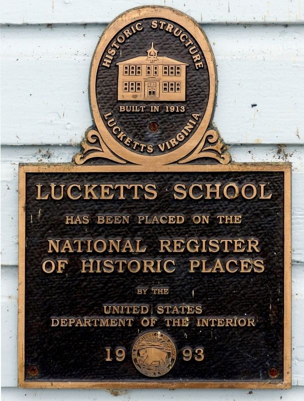
1. Lucketts School Marker
Built in 1913
Lucketts Virginia
Lucketts School
Has Been Placed on the
National Register
Of Historic Places
By the
United States
Department of Interior
1993
Topics. This historical marker is listed in this topic list: Education.
Location. 39° 12.899′ N, 77° 32.031′ W. Marker is in Lucketts, Virginia, in Loudoun County. It can be reached from the intersection of Lucketts Road and James Monroe Highway (U.S. 15/501). Touch for map. Marker is at or near this postal address: 42361 Lucketts Road, Leesburg VA 20176, United States of America. Touch for directions.

Regionally, this marker is in the Washington Metropolitan Area and in Northern Virginia. It is also in the American South, specifically in the Upper South, and in the Mid-Atlantic. Globally, it is in North America, the Western Hemisphere, the Western World, and the Anglosphere. Historically, it finds itself in what was once the territory of the Mississippian Culture, one of the original Thirteen Colonies, one of the Confederate States of America, and the Antebellum South.
this page online
Other nearby markers. At least 8 other markers are within 3 miles of this marker, measured as the crow flies: Wayne's Crossing (approx. 0.2 miles away); Catoctin Rural Historic District (approx. 0.2 miles away); Potomac Crossings (approx. 0.7 miles away); The Kincaid Farm Barns (approx. 2½ miles away); Welcome to Temple Hall Farm Regional Park (approx. 2½ miles away); Conditions of the Enslaved at Temple Hall Farm (approx. 2½ miles away); Enslaved Workers at Temple Hall Farm (approx. 2½ miles away); This Is Temple Hall! (approx. 2½ miles away). Touch for a list and map of all markers in Lucketts.
Another marker is no longer nearby. Wayne's Crossing (was approx. 0.2 miles away but has been replaced with another marker now near it).
Also see . . . Lucketts School. Virginia Department of Historic Resources website entry (Submitted on April 4, 2022, by Larry Gertner of New York, New York.)
Photographed by Allen C. Browne, June 5, 2018
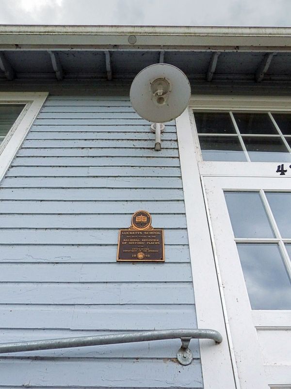
2. Lucketts School Marker
There are two identical plaques on the Lucketts Community Center Building. This one is on the older part of the school building in the rear. The other is by the front door facing James Monroe Highway.
Photographed by Allen C. Browne, June 5, 2018
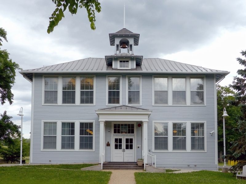
3. Lucketts School
Lucketts Community Center
Lucketts Community Center
Photographed by Allen C. Browne, June 5, 2018
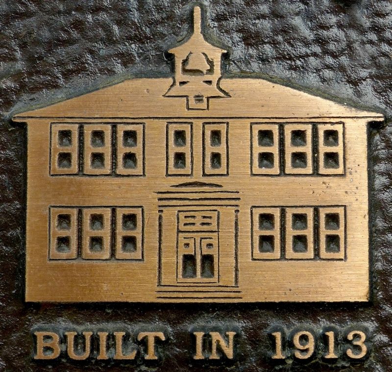
4. Built in 1913
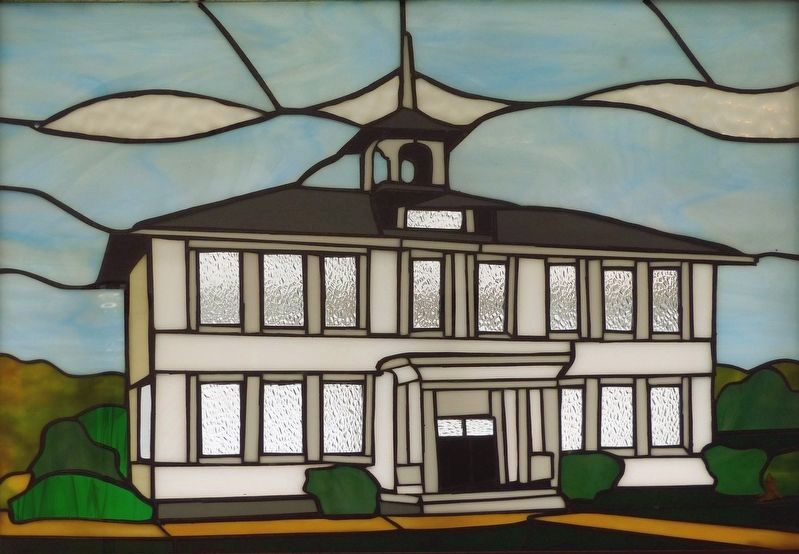
Photographed by Allen C. Browne, June 5, 2018
5. Lucketts School
Stained Glass by John Wolfe
Stained Glass by John Wolfe
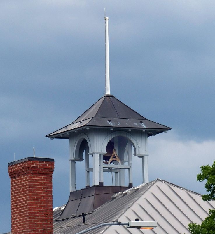
Photographed by Allen C. Browne, June 5, 2018
6. Lucketts School Belfry
Credits. This page was last revised on April 4, 2022. It was originally submitted on June 6, 2018, by Allen C. Browne of Silver Spring, Maryland. This page has been viewed 460 times since then and 13 times this year. Photos: 1, 2, 3, 4, 5, 6. submitted on June 6, 2018, by Allen C. Browne of Silver Spring, Maryland. • Andrew Ruppenstein was the editor who published this page.
