Samuel Wolfenberger
(1804 - 1860)
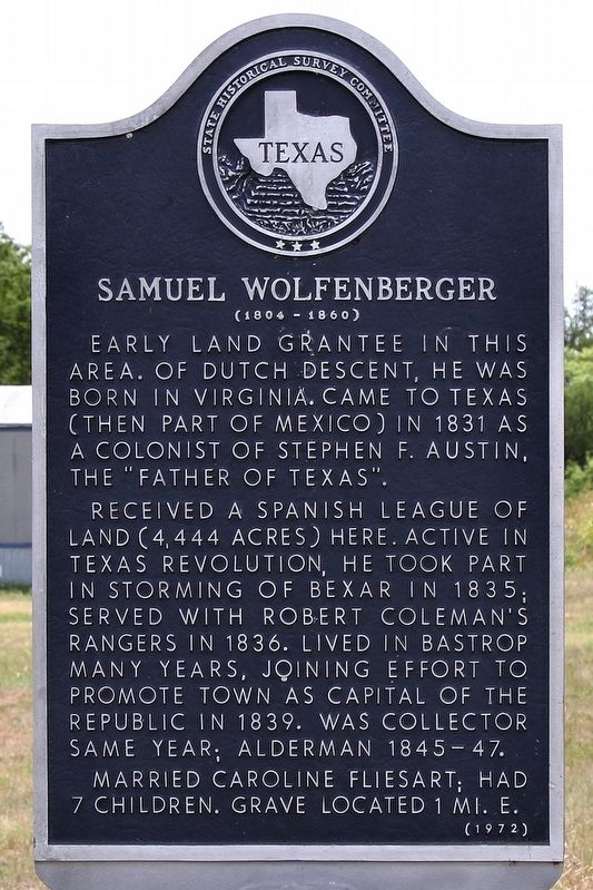
Received a Spanish league of land (4,444 acres) here. Active in Texas Revolution, he took part in storming of Bexar in 1835; served with Robert Coleman's Rangers in 1836. Lived in Bastrop many years, joining effort to promote town as capital of the Republic in 1839. Was collector same year; alderman 1845-47.
Married Caroline Fliesart; had 7 children. Grave located 1 mi. E.
Erected 1972 by State Historical Survey Committee. (Marker Number 9240.)
Topics. This historical marker is listed in these topic lists: Settlements & Settlers • War, Texas Independence. A significant historical year for this entry is 1831.
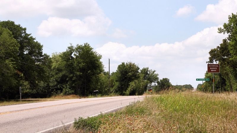
Location. 30° 1.411′ N, 97° 25.655′ W. Marker is near Bastrop, Texas, in Bastrop County. It is on Farm to Market Road 20 0.1 miles north of Humble Lane (County Highway 232), on the right when traveling north. Touch for map. Marker is in this post office area: Bastrop TX 78602, United States of America. Touch for directions.
Regionally, this marker is in Central Texas and in the Austin Metropolitan Area. It is also in the American South. Globally, it is in North America, a Gulf of Mexico state, the Western Hemisphere, the Western World, and the Anglosphere. Historically, it finds itself in what was once New Spain, the Republic of Texas, one of the Confederate States of America, and the Antebellum South.
Other nearby markers. At least 8 other markers are within 7 miles of this marker, measured as the crow flies: Rockne (approx. 1.9 miles away); New Red Rock Cemetery (approx. 4½ miles away); Old Red Rock Cemetery (approx. 4.8 miles away); Kings Highway Camino Real — Old San Antonio Road (approx. 5½
this page online
Credits. This page was last revised on June 6, 2020. It was originally submitted on June 7, 2018, by Larry D. Moore of Del Valle, Texas. This page has been viewed 1,990 times since then and 207 times this year. Photos: 1, 2. submitted on June 7, 2018, by Larry D. Moore of Del Valle, Texas. • Andrew Ruppenstein was the editor who published this page.
