Near Wurtsboro in Sullivan County, New York — The American Northeast (Mid-Atlantic)
Michel Helm
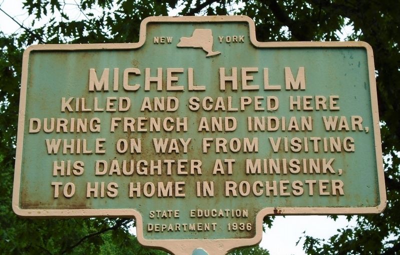
Photographed by William Fischer, Jr., June 4, 2018
1. Michel Helm Marker
during French and Indian War,
while on way from visiting
his daughter at Minisink,
to his home in Rochester
Erected 1936 by State Education Department.
Topics. This historical marker is listed in these topic lists: Settlements & Settlers • War, French and Indian.
Location. 41° 36.288′ N, 74° 27.447′ W. Marker is near Wurtsboro, New York, in Sullivan County. It is on U.S. 209 0.1 miles north of the N end of the Wurtsboro-Sullivan County Airport, on the left when traveling north. Marker is at a roadside rest area on the west side of the highway. Touch for map. Marker is in this post office area: Wurtsboro NY 12790, United States of America. Touch for directions.

Regionally, this marker is in Upstate New York and in the Hudson Valley. It is also in the American Northeast, in the Mid-Atlantic, in Appalachia, and specifically in Northern Appalachia. Globally, it is in North America, the Western Hemisphere, the Western World, and the Anglosphere. Historically, it finds itself in what was once New Netherland and also one of
this page online
Other nearby markers. At least 8 other markers are within 2 miles of this marker, measured as the crow flies: Old Mine Road ~ D. and H. Canal (within shouting distance of this marker); Fort Devens (approx. 0.6 miles away); O&W & Summitville Station (approx. 1.1 miles away); The Canal & the Railroad (approx. 1.1 miles away); Patriot Burials (approx. 1.3 miles away); History of the Canal (approx. 1.9 miles away); Towpath (approx. 1.9 miles away); Boothroyd House (approx. 1.9 miles away). Touch for a list and map of all markers in Wurtsboro.
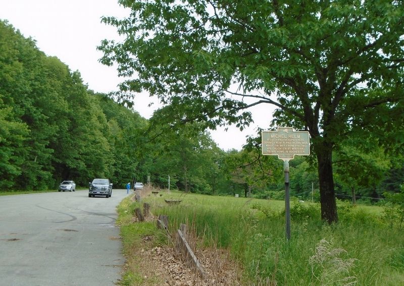
Photographed by William Fischer, Jr., June 4, 2018
2. Michel Helm Marker
Credits. This page was last revised on June 8, 2018. It was originally submitted on June 8, 2018, by William Fischer, Jr. of Reynoldsburg, Ohio. This page has been viewed 947 times since then and 67 times this year. Photos: 1, 2. submitted on June 8, 2018, by William Fischer, Jr. of Reynoldsburg, Ohio.
