Easttown Township near Paoli in Chester County, Pennsylvania — The American Northeast (Mid-Atlantic)
Historic Waynesborough
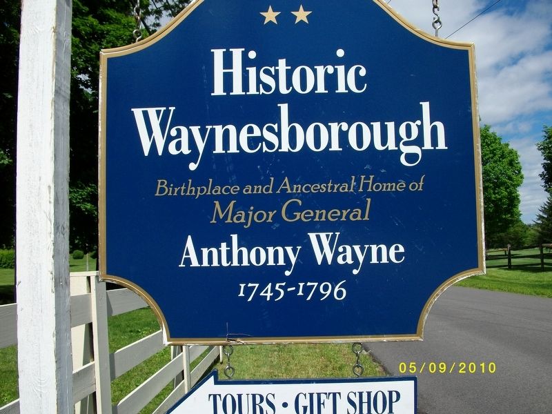
Photographed by Frankie, May 9, 2010
1. Historic Waynesborough Marker
Topics. This historical marker is listed in this topic list: War, US Revolutionary.
Location. 40° 1.924′ N, 75° 28.362′ W. Marker is near Paoli, Pennsylvania, in Chester County. It is in Easttown Township. It is on Waynesborough Road. Touch for map. Marker is at or near this postal address: 2049 Waynesborough Rd, Paoli PA 19301, United States of America. Touch for directions.

Regionally, this marker is in Southeast Pennsylvania and in Greater Philadelphia. It is also in the American Northeast and in the Mid-Atlantic. Globally, it is in North America, the Western Hemisphere, the Western World, and the Anglosphere. Historically, it finds itself in what was once the Haudenosaunee (Iroquois) Confederacy, New Netherland, and one of the original Thirteen Colonies.
Other nearby markers. At least 8 other markers are within 3 miles of this marker, measured as the crow flies: Gen. Anthony Wayne (approx. 0.7 miles away); The Paoli Inn (approx. one mile away); Site of Paoli Massacre
this page online
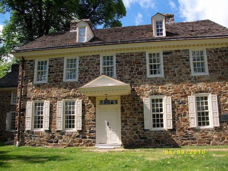
Photographed by Frankie, May 9, 2010
2. Waynesborough
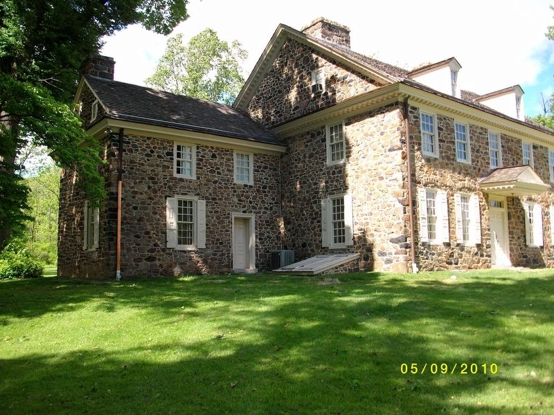
Photographed by Frankie, May 9, 2010
3. Waynesborough
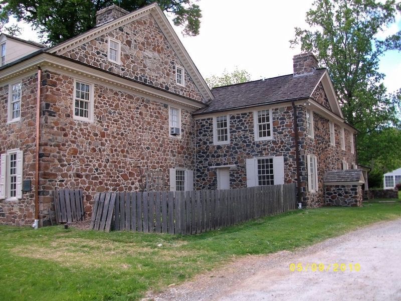
Photographed by Frankie, May 9, 2010
4. Waynesborough
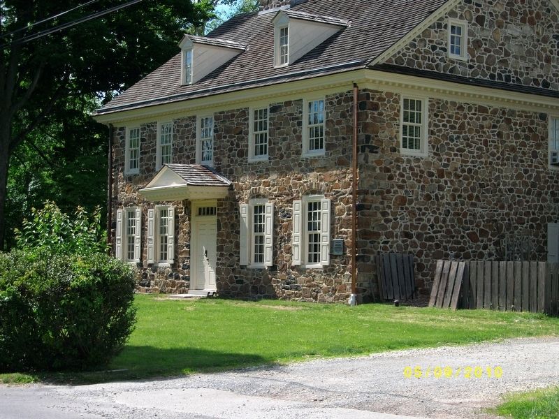
Photographed by Frankie, May 9, 2010
5. Waynesborough
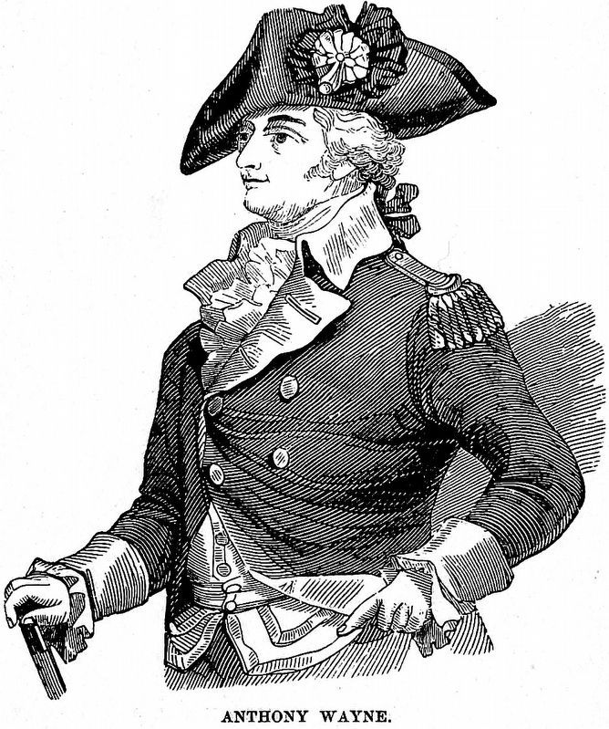
Internet Archive
6. Anthony Wayne
From Harpers' Popular Cyclopaedia of United States History by Benson John Lossing 1893, Vol. II, page 1497.
Credits. This page was last revised on February 7, 2023. It was originally submitted on June 12, 2018. This page has been viewed 489 times since then and 34 times this year. Photos: 1, 2, 3, 4, 5. submitted on June 12, 2018. 6. submitted on February 21, 2021, by Allen C. Browne of Silver Spring, Maryland. • Bill Pfingsten was the editor who published this page.
