Rochester in Oakland County, Michigan — The American Midwest (Great Lakes)
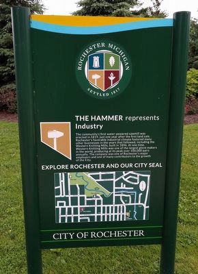
The Hammer
represents Industry
— Explore Rochester and Our City Seal —
Erected by City of Rochester.
Topics. This historical marker is listed in this topic list: Industry & Commerce. A significant historical year for this entry is 1819.
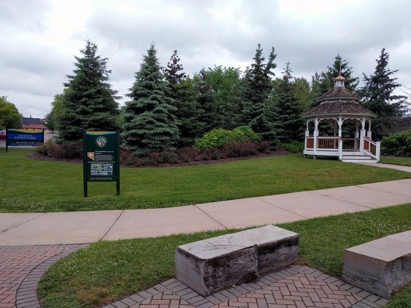
Location. 42° 40.854′ N, 83° 7.8′ W. Marker is in Rochester, Michigan, in Oakland County. Marker can be reached from East Fourth Street east of Water Street. Marker is about 445 feet east of Water Street in Rochester Lions Park. Touch for map. Marker is in this post office area: Rochester MI 48307, United States of America. Touch for directions.
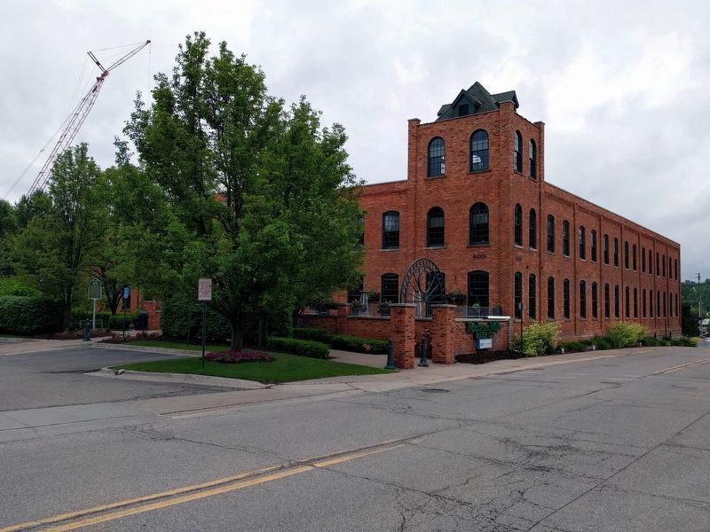
Other nearby markers. At least 8 other markers are within walking distance of this marker. Western Knitting Mills and Boarding Houses (within shouting distance of this marker); Western Knitting Mills Dam and Michigan Central Railroad Bridge (within shouting distance of this marker); Western Knitting Mills (about 300 feet away, measured in a direct line); Rochester Train Depot and Rochester Elevator (about 700 feet away); Chapman Pond (approx. 0.2 miles away); Masonic Block (approx. 0.2 miles away); City of Rochester, Michigan (approx. 0.2 miles away); Rochester Opera House (approx. 0.2 miles away). Touch for a list and map of all markers in Rochester.
Also see . . . Western Knitting Mills. (Submitted on June 13, 2018, by Joel Seewald of Madison Heights, Michigan.)
Credits. This page was last revised on June 13, 2018. It was originally submitted on June 13, 2018, by Joel Seewald of Madison Heights, Michigan. This page has been viewed 198 times since then and 12 times this year. Photos: 1, 2, 3. submitted on June 13, 2018, by Joel Seewald of Madison Heights, Michigan.


