Bastrop in Bastrop County, Texas — The American South (West South Central)
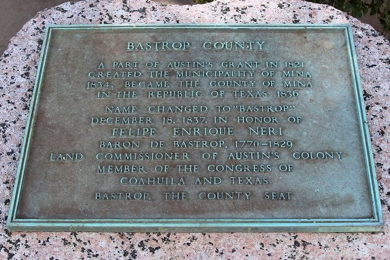
Bastrop County
created the municipality of Mina
1834, became the County of Mina
in the Republic of Texas 1836
Name changed to "Bastrop"
December 18, 1837, in honor of
Felipe Enrique Neri
Baron de Bastrop, 1770-1829
land commissioner of Austin's Colony
Member of the Congress of
Coahuila and Texas.
Bastrop, the County Seat
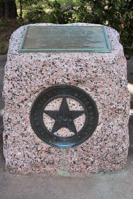
Erected 1936 by Texas Highway Department. (Marker Number 9152.)
Topics and series. This historical marker is listed in this topic list: Political Subdivisions. In addition, it is included in the Texas 1936 Centennial Markers and Monuments series list. A significant historical date for this entry is December 18, 1837.
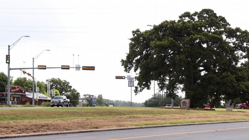
Location. 30° 6.652′ N, 97° 17.68′ W. Marker is in Bastrop, Texas, in Bastrop County. Marker is at the intersection of State Highway 21 and Loop State Highway 150, on the right when traveling east on State Highway 21. Touch for map. Marker is in this post office area: Bastrop TX 78602, United States of America. Touch for directions.
Other nearby markers. At least 8 other markers are within walking distance of this marker. Early History of the City of Bastrop (about 400 feet away, measured in a direct line); Lost Pines of Texas (about 500 feet away); The Gotier Trace (about 500 feet away); Kings Highway Camino Real — Old San Antonio Road (approx. ¼ mile away); John Holland Jenkins (approx. 0.7 miles away); Governor J. D. Sayers (approx. 0.7 miles away); Felipe Entrique Neri, Baron De Bastrop (approx. 0.7 miles away); Campbell Taylor (approx. 0.7 miles away). Touch for a list and map of all markers in Bastrop.
Also see . . . Bastrop County. from the Handbook of Texas Online (Submitted on June 13, 2018, by Larry D. Moore of Del Valle, Texas.)
Credits. This page was last revised on June 14, 2018. It was originally submitted on June 13, 2018, by Larry D. Moore of Del Valle, Texas. This page has been viewed 340 times since then and 34 times this year. Photos: 1, 2, 3. submitted on June 13, 2018, by Larry D. Moore of Del Valle, Texas. • Andrew Ruppenstein was the editor who published this page.


