Sabine Pass in Jefferson County, Texas — The American South (West South Central)
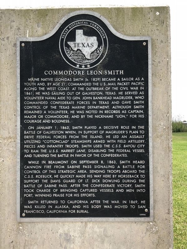
Commodore Leon Smith
On January 1, 1863, Smith played a decisive role in the Battle of Galveston when, in support of Magruder's plan to drive Federal forces from the island, he led an assault utilizing "cottonclad” steamships armed with field artillery pieces and infantry troops. Smith used the C.S.S. Bayou City to ram the U.S.S. Harriet Lane, disabling the Federal vessel and turning the battle in favor of the Confederates.
While in Beaumont on September 8, 1863, Smith heard cannon fire from Sabine Pass signaling a battle for control of this strategic area. Sending troops aboard the C.S.S. Roebuck, he quickly made his way here by horseback to support the Davis Guard of Lt. Dick Dowling during the Battle of Sabine Pass. After the Confederate victory, Smith took charge of bringing captured vessels and men into port, winning praise for his efforts.
Smith returned to California after the war. In 1869, he was killed in Alaska, and his body was moved to San Francisco, California for burial.
Erected 2004 by Texas Historical Commission. (Marker Number 15458.)
Topics. This historical marker is listed in this topic list: War, US Civil.
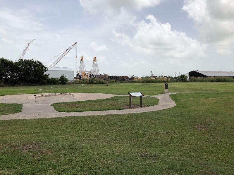
Location. 29° 43.933′ N, 93° 52.392′ W. Marker is in Sabine Pass, Texas, in Jefferson County. Marker is located within the Sabine Pass Battleground State Historic Site. Touch for map. Marker is at or near this postal address: 6100 Dick Dowling Road, Sabine Pass TX 77655, United States of America. Touch for directions.
Other nearby markers. At least 8 other markers are within walking distance of this marker. Union Casualties at the Battle of Sabine Pass (within shouting distance of this marker); Richard Dowling (within shouting distance of this marker); Site of Fort Griffin (within shouting distance of this marker); Capture of the USS Morning Light and USS Velocity (about 300 feet away, measured in a direct line); World War II Coastal Defenses at Sabine Pass (about 600 feet away); Fort Manhassett (about 600 feet away); Spanish-American War Fortifications (about
600 feet away); United States Forces at the Battle of Sabine Pass (about 700 feet away). Touch for a list and map of all markers in Sabine Pass.
Credits. This page was last revised on June 14, 2018. It was originally submitted on June 14, 2018, by Brian Anderson of Humble, Texas. This page has been viewed 270 times since then and 20 times this year. Photos: 1, 2. submitted on June 14, 2018, by Brian Anderson of Humble, Texas. • Andrew Ruppenstein was the editor who published this page.

