Dandridge in Jefferson County, Tennessee — The American South (East South Central)
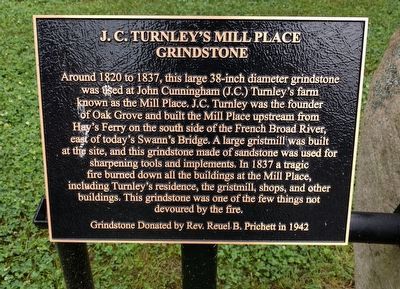
J. C. Turnley's Mill Place Grindstone
Photographed by Joel Seewald, June 1, 2018
1. J. C. Turnley's Mill Place Grindstone Marker
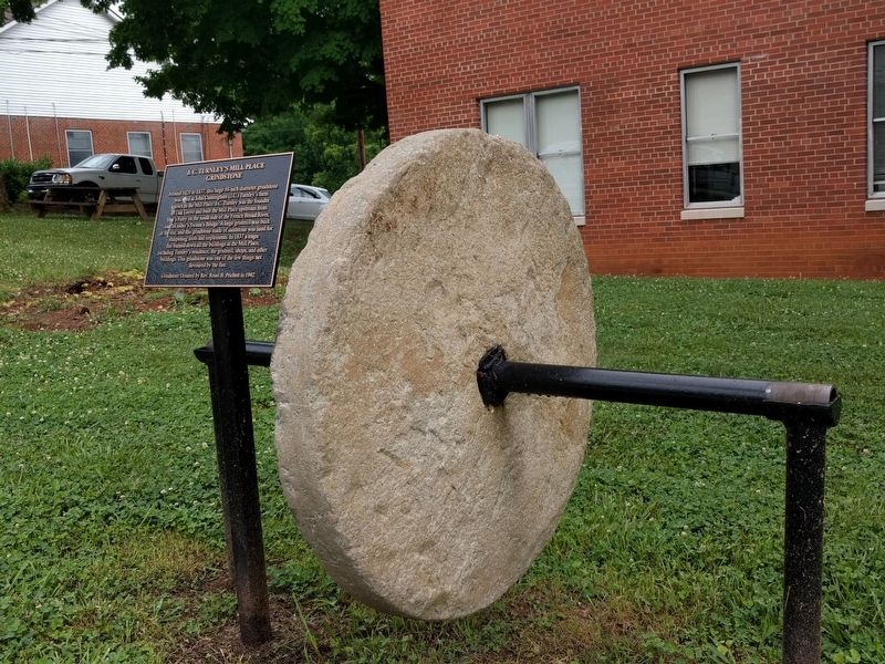
Around 1820 to 1837, this large 38-inch diameter grindstone was used at John Cunningham (J.C.) Turnley's farm known as the Mill Place. J.C. Turnley was the founder of Oak Grove and built the Mill Place upstream from Hay's Ferry on the south side of the French Broad River, east of today's Swann's Bridge. A large gristmill was built at the site, and this grindstone made of sandstone was used for sharpening tools and implements. In 1837 a tragic fire burned down all the buildings at Mill Place, including Turnley's residence, the gristmill, shops, and other buildings. This grindstone was one of the few things not devoured by the fire.
Grindstone donated by Rev. Reuel B. Pritchett in 1942
Topics. This historical marker is listed in these topic lists: Disasters • Industry & Commerce. A significant historical year for this entry is 1820.
Location. 36° 0.917′ N, 83° 24.937′ W. Marker is in Dandridge, Tennessee, in Jefferson County. It is at the intersection of West Main Street (Tennessee Route 139) and Gay Street, on the right when traveling west on West Main Street. Touch for map. Marker is at or near this postal address: 202 West Main Street, Dandridge TN 37725, United States of America. Touch for directions.

Regionally, this marker is in East Tennessee. It is also in the American South, specifically in the Upper South, in Appalachia,
this page online
Other nearby markers. At least 8 other markers are within walking distance of this marker: Jefferson County Courthouse (within shouting distance of this marker); Jefferson County Jail (within shouting distance of this marker); Roper Mansion (within shouting distance of this marker); Attack on Dandridge (about 300 feet away, measured in a direct line); In Memory of the Revolutionary Soldiers Buried Here (about 300 feet away); Battle of Dandridge (about 300 feet away); Blant’s Hill (about 400 feet away); The Dike That Saved Dandridge (about 500 feet away). Touch for a list and map of all markers in Dandridge.
Photographed by Joel Seewald, June 1, 2018
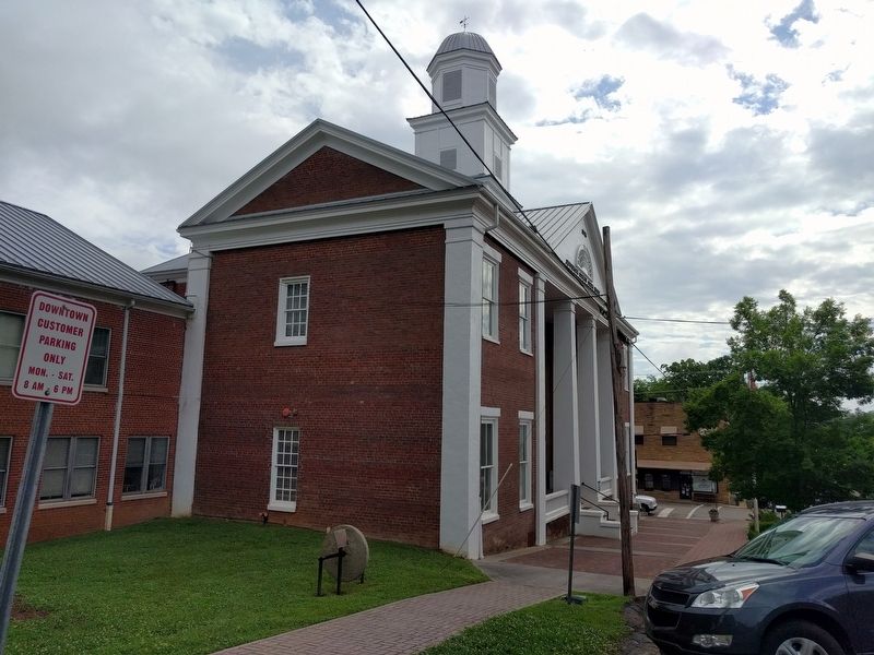
2. J. C. Turnley's Mill Place Grindstone and Marker
Photographed by Joel Seewald, June 1, 2018
3. J. C. Turnley's Mill Place Grindstone and Marker
Credits. This page was last revised on June 15, 2018. It was originally submitted on June 15, 2018, by Joel Seewald of Madison Heights, Michigan. This page has been viewed 596 times since then and 24 times this year. Photos: 1, 2, 3. submitted on June 15, 2018, by Joel Seewald of Madison Heights, Michigan.
