San Ignacio, Cayo, Belize — Central America
The Centennial of El Cayo
The Naming of San Ignacio
Photographed by J. Makali Bruton, May 27, 2018
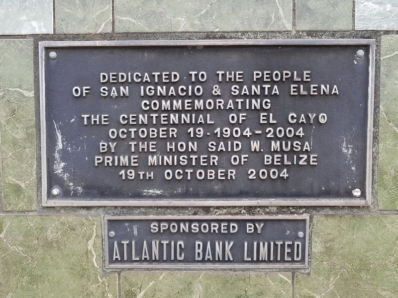
1. The Centennial of El Cayo Marker
of San Ignacio & Santa Elena
commemorating
The Centennial of El Cayo
October 19-1904-2004
by the Hon Said W. Musa
Prime Minister of Belize
19th October 2004
Sponsored by
Atlantic Bank Limited
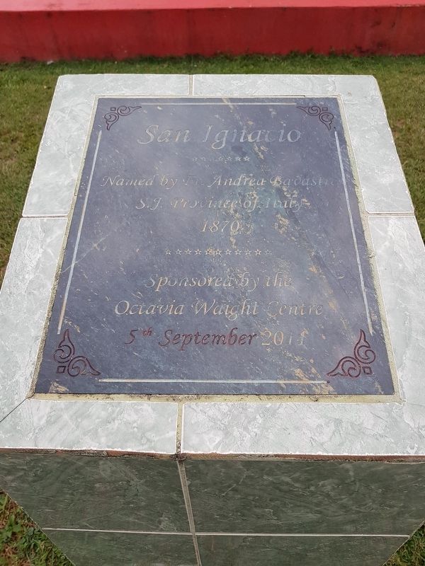
San Ignacio
Named by Fr. Andrea Bavastro
S.J. Province of Italy
1870
Sponsored by the
Octavia Waight Center
5th September 2011
Erected 2004 by Atlantic Bank Limited and the Octavia Wright Center.
Topics. This historical marker is listed in this topic list: Political Subdivisions. A significant historical date for this entry is September 5, 2011.
Location. 17° 9.667′ N, 89° 4.217′ W. Marker is in San Ignacio, Cayo. It is on Joseph Andrews Drive just north of Savannah Street, on the left when traveling north. Touch for map. Marker is in this post office area: San Ignacio, Cayo 7K9PL KTS4H, Belize. Touch for directions.

Regionally, it is in North America, Central America, Mesoamerica, the Western Hemisphere, and the Anglosphere. Historically, it finds itself in what was once New Spain, a Spanish colony, and specifically a British colony.
Other nearby markers. At least one other marker is within 3 kilometers of this marker,
this page online
Regarding The Centennial of El Cayo. The markers show how many of the locations in Belize were settled and named much later than the rest of Central America.
Photographed by J. Makali Bruton, May 27, 2018
2. The Naming of San Ignacio Marker
This additional marker is on a small concrete base to the left of the Centennial of El Cayo Marker.

Photographed by J. Makali Bruton, May 27, 2018
3. The Centennial of El Cayo and Naming of San Ignacio Markers
Photographed by J. Makali Bruton, May 27, 2018
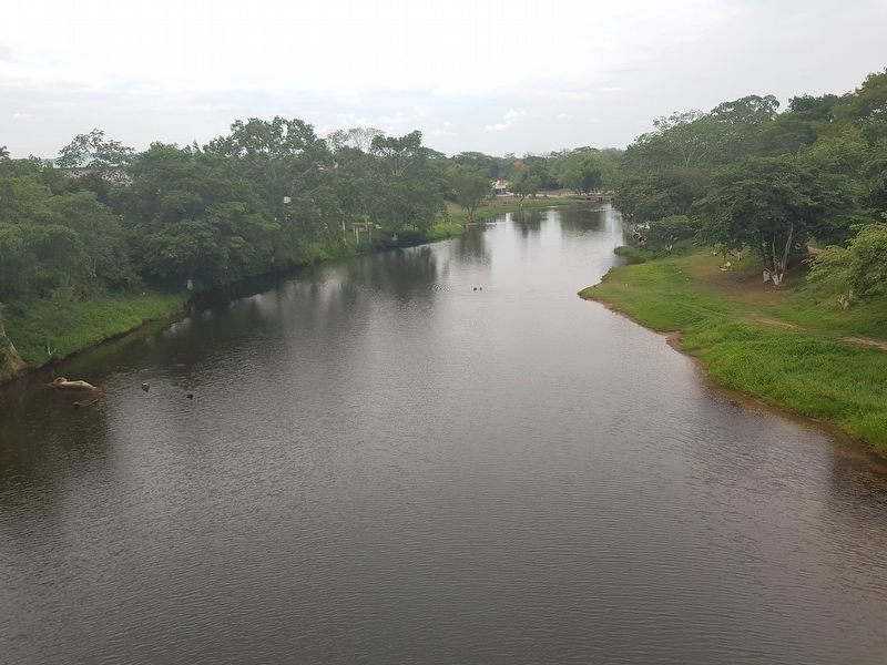
4. A view of the nearby Macal River from the Hawkesworth Bridge
The Macal River separates the twin towns of San Ignacio and Santa Elena, Cayo, Belize.
Credits. This page was last revised on June 17, 2018. It was originally submitted on June 17, 2018, by J. Makali Bruton of Washington, District of Columbia. This page has been viewed 231 times since then and 13 times this year. Photos: 1, 2, 3, 4. submitted on June 17, 2018, by J. Makali Bruton of Washington, District of Columbia.
