Coldspring in San Jacinto County, Texas — The American South (West South Central)
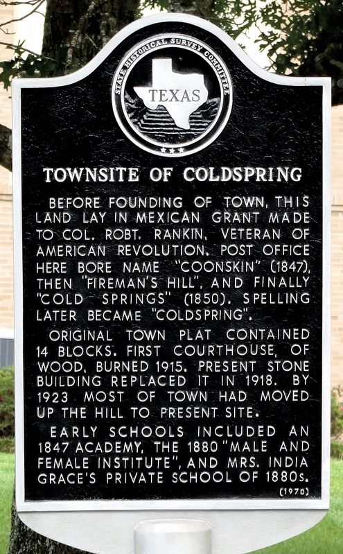
Townsite of Coldspring
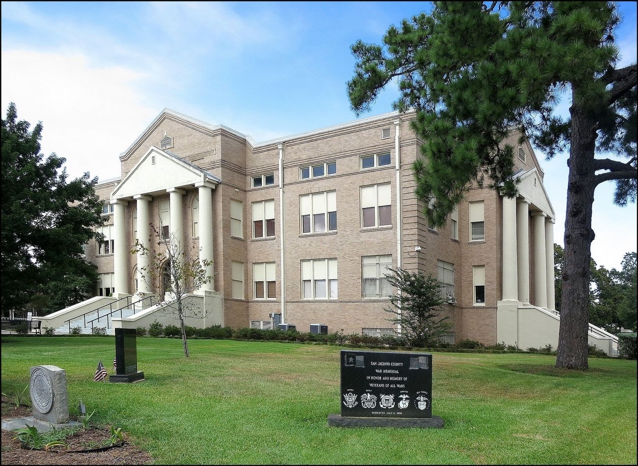
Original town plat contained 14 blocks. First courthouse, of wood, burned 1915. Present stone building replaced it in 1918. By 1923 most of town had moved up the hill to present site.
Early schools included an 1847 academy, the 1880 "Male and Female Institute," and Mrs. India Grace's private school of 1880s.
Erected 1970 by State Historical Survey Committee. (Marker Number 7652.)
Topics. This historical marker is listed in this topic list: Settlements & Settlers.
Location. 30° 35.526′ N, 95° 7.737′ W. Marker is in Coldspring, Texas, in San Jacinto County. Marker is at the intersection of Church Street (State Highway 150) and Byrd Avenue (Farm to Market Road 1514), on the right when traveling north on Church Street. On the Courthouse Lawn. Touch for map. Marker is at or near this postal address: 1 State Highway 150, Coldspring TX 77331, United States of America. Touch for directions.
Other nearby markers. At least 8 other markers are within walking distance of this marker. Governor George Tyler Wood (a few steps from this marker); San Jacinto County Courthouse (within shouting distance of this marker); J. M. Hansbro's Law Office (within shouting distance of this marker); Mount Moriah Lodge No. 37, A.F. & A.M. (about 300 feet away, measured in a direct line); Coldspring Methodist Church (about 500 feet away); First Baptist Church of Coldspring (about 600 feet away); Old San Jacinto County Jail (approx. 0.3 miles away); San Jacinto County Jail (approx. 0.3 miles away). Touch for a list and map of all markers in Coldspring.
More about this marker. The courthouse in the picture is in the National Register of Historic Places
Also see . . .
1. From The Handbook of Texas. (Submitted on August 11, 2016, by Jim Evans of Houston, Texas.)
2. From Wikipedia. (Submitted on August 11, 2016, by Jim Evans of Houston, Texas.)
Credits. This page was last revised on June 20, 2018. It was originally submitted on August 11, 2016, by Jim Evans of Houston, Texas. This page has been viewed 469 times since then and 34 times this year. Last updated on June 19, 2018, by Brian Anderson of Humble, Texas. Photos: 1, 2. submitted on August 11, 2016, by Jim Evans of Houston, Texas. • Andrew Ruppenstein was the editor who published this page.

