Near Boise in Ada County, Idaho — The American West (Mountains)
Fort Boise
The Oregon Trail
Inscription.
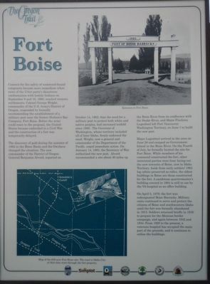
Concern for the safety of westward-bound emigrants became more immediate when news of the Utter party's disastrous confrontation with hostile Indians on September 9 and 10, 1860, reached western settlements. Colonel George Wright, commander of the U.S. Army's District of Oregon, responded by formally recommending the establishment of a military post near the former Hudson's Bay Company, Fort Boise. Before the army could react to the proposal, the United States became embroiled in a Civil War and the construction of a fort was temporarily delayed.
The discovery of the gold during the summer of 1862 in the Boise Basin and the Owyhees changed the situation. The new commander of the District of Oregon. General Benjamin Alford, reported on October 14, 1862, that the need for a military post to protect both white and native peoples, had increased tenfold since 1860. The Governor of Washington, whose territory included all of later Idaho, firmly endorsed the need. Wright, now a general and commander of the Pacific, urged immediate action. On January 14, 1863, the Secretary of War authorized the new post. Alvord recommend a site about 40 miles up the Boise River from its confluence with the Snake River, and Major Pinckney Lugenbeel left Fort Vancouver, Washington Territory, on June 1 to build the new post.
Major Lugenbeel arrived in the area on June 28 and camped on Government Island in the Boise River. On the Forth of July, he formally located the site for Fort Boise. While members of his command constructed the fort, other interested parties were busy lay out the new townsite on Boise, now in Idaho Territory. Aside from early settlers' 1863 log cabins preserved preserved as relics, the oldest buildings in Boise are those constructed for the fort. A sandstone quartermaster's building erected in 1864 is still in use by the VA hospital as an office building.
On April 5, 1879, the fort was redesignated Boise Barracks. Military units continued to serve and protect the citizens of Boise and southwestern Idaho until the fort was formally abandoned in 1913. Soldiers returned briefly in 1916 to prepare for the Mexican border campaign, and again between 1942 and 1944. From 1920 to the present, a veterans hospital has occupied the main part of the grounds, and it continues to utilize the buildings.
Erected by Ada County Parks and Recreation, Idaho Department of Transportation, Simplot.
Topics. This historical marker is listed in these topic lists: Forts and Castles • Wars, US Indian.
Location. 43° 32.544′ N, 116° 6.576′ W. Marker is near Boise, Idaho, in Ada County. Marker is at the intersection of State Highway 21 and East Lake Forest Drive, on the right when traveling east on State Highway 21. Touch for map. Marker is in this post office area: Boise ID 83716, United States of America. Touch for directions.
Other nearby markers. At least 8 other markers are within walking distance of this marker. Idaho's Emigrant Trails (a few steps from this marker); Kelton Road (a few steps from this marker); Ezra Meeker (a few steps from this marker); Bonneville Point (a few steps from this marker); "Our Road Was Very Steep…" (approx. 0.4 miles away); The Oregon Trail (approx. 0.8 miles away); Beaver Dick's Ferry (approx. 0.8 miles away); Whitman Overlook (approx. 0.9 miles away). Touch for a list and map of all markers in Boise.
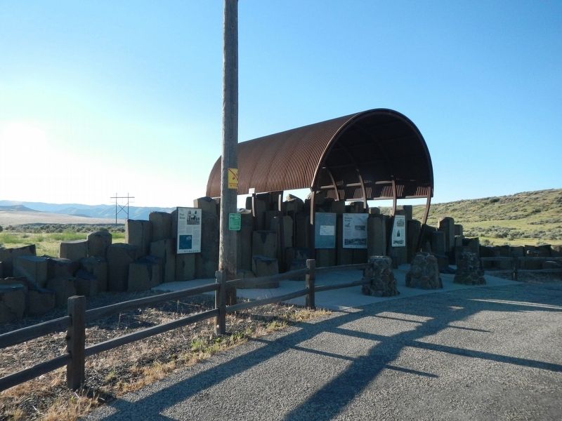
More about this marker. This marker is located at Oregon Trail display just off the highway.
Credits. This page was last revised on February 22, 2021. It was originally submitted on June 19, 2018, by Barry Swackhamer of Brentwood, California. This page has been viewed 444 times since then and 37 times this year. Photos: 1, 2. submitted on June 19, 2018, by Barry Swackhamer of Brentwood, California.

