
Downtown in St. Louis, Missouri — The American Midwest (Upper Plains)
Western Reach of the Revolution
Jeffersion National Expansion Memorial
| — | National Park Service, U.S. Department of the Interior | — |
Photographed by Cosmos Mariner, September 11, 2017
1. Western Reach of the Revolution Marker
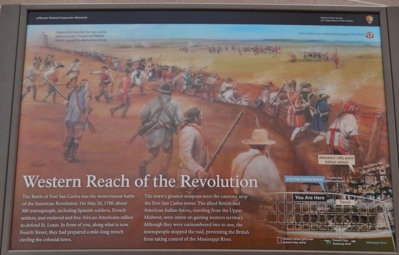
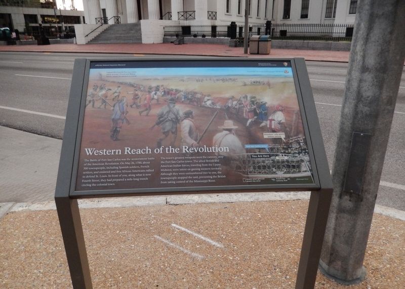
The Battle of Fort San Carlos was the westernmost battle of the American Revolution. On May 26, 1780, about 300 townspeople, including Spanish soldiers, French settlers, and enslaved and free African Americans rallied to defend St. Louis. In front of you, along what is now Fourth Street, they had prepared a mile-long trench circling the colonial town.
The town's greatest weapons were the cannons atop the Fort San Carlos tower. The allied British and American Indian forces, traveling from the Upper Midwest, were intent on gaining western territory. Although they were outnumbered two to one, the townspeople stopped the raid, preventing the British from taking control of the Mississippi River.
Erected by National Park Service U.S. Department of the Interior.
Topics. This historical marker is listed in these topic lists: Indigenous Peoples and Communities • Settlements & Settlers • War, US Revolutionary. A significant historical date for this entry is May 26, 1780.
Location. This marker has been replaced by another marker nearby. It was located near 38° 37.543′ N, 90° 11.307′ W. Marker was in St. Louis, Missouri.
this page online

Regionally, this marker was in the American Midwest, in the Lewis & Clark Corridor, in the Corn Belt, and in the Great River Road Region. Globally, it was in North America, the Western Hemisphere, the Western World, and the Anglosphere. Historically, it found itself in what was once the territory of the Mississippian Culture, the Louisiana Purchase, and the Antebellum South.
Other nearby markers. At least 8 other markers are within walking distance of this location: A different marker also named Western Reach of the Revolution (here, next to this marker); The Old Courthouse (within shouting distance of this marker); Dred and Harriet Scott (within shouting distance of this marker); a different marker also named Sold on the Steps of Justice (within shouting distance
Photographed by Cosmos Mariner, September 11, 2017
2. Western Reach of the Revolution Marker (wide view; 4th Street & courthouse in background)
Other markers no longer nearby. Joseph Pulitzer (was within shouting distance of this marker but has been confirmed missing); Sold on the Steps of Justice (was within shouting distance of this marker but has been replaced with another marker now near it).
More about this marker. Marker was replaced with a revised one, with Gateway Arch National Park replacing Jefferson National Expansion Memorial.
Regarding Western Reach of the Revolution. The Jefferson National Expansion Memorial was re-named Gateway Arch National Park in 2018.
Also see . . .
1. The Battle of Fort San Carlos. In 1780, on what is now the corner of Walnut and 4th Streets, St. Louis staged the only battle in the American Revolution fought west of the Mississippi River. Even more interesting is that it wasn’t very “American”
Photographed by Cosmos Mariner, September 11, 2017
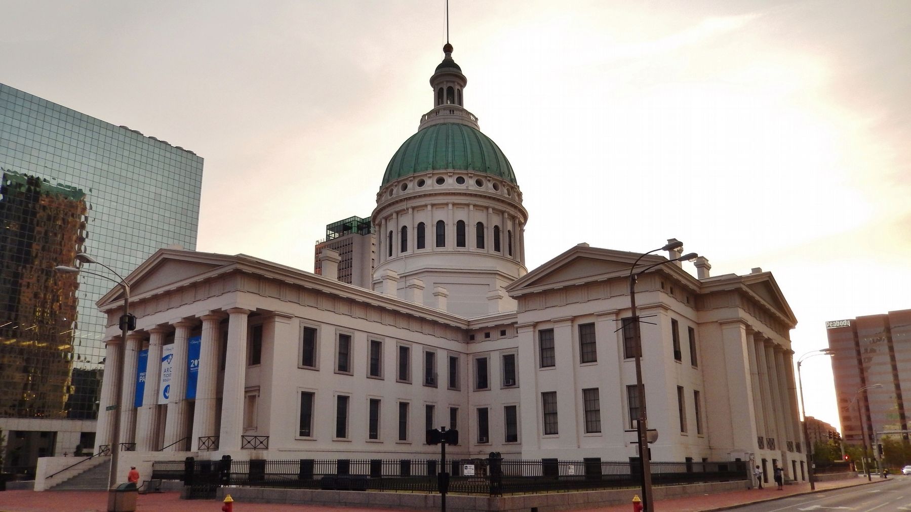
3. Old Saint Louis County Courthouse (view across 4th Street from near marker)
2. Battle of St. Louis. The village lost between 50 and 100 people who were either killed, wounded or captured. Virtually all casualties were civilians. DeLeyba died the following month. He was the subject of local criticism because he never formally recognized the efforts made by the citizenry in the town's defense. King Charles did not know he had died and promoted him to lieutenant colonel because of his valor in action. The site where Fort San Carlos stood is at the corner of Fourth and Walnut Street in St. Louis. A local organization commemorates the event by reading out the names
Photographed by Cosmos Mariner, September 11, 2017
4. Jefferson National Expansion Memorial Sign (near marker)
The Old Saint Louis County Courthouse and grounds, as well as the Gateway Arch and surrounding grounds, are part of the Jefferson National Expansion Memorial, and managed by the United States National Park Service.
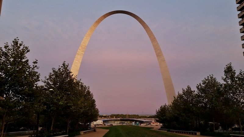
Photographed by Cosmos Mariner, September 11, 2017
5. Gateway Arch at Sunset (view from near marker)
Credits. This page was last revised on April 28, 2026. It was originally submitted on June 20, 2018, by Cosmos Mariner of Cape Canaveral, Florida. This page has been viewed 794 times since then and 38 times this year. Photos: 1, 2, 3, 4, 5. submitted on June 20, 2018, by Cosmos Mariner of Cape Canaveral, Florida. • Bill Pfingsten was the editor who published this page.
