Mury Obronne Miasta Opola / Defensive Walls of the City of Opole
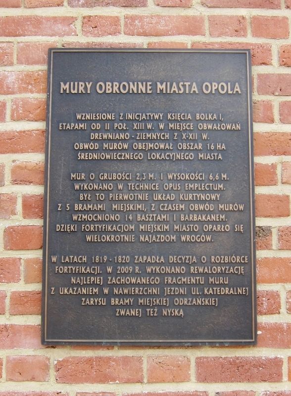
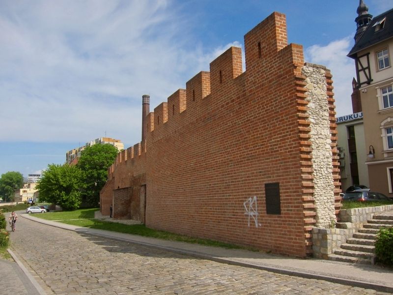
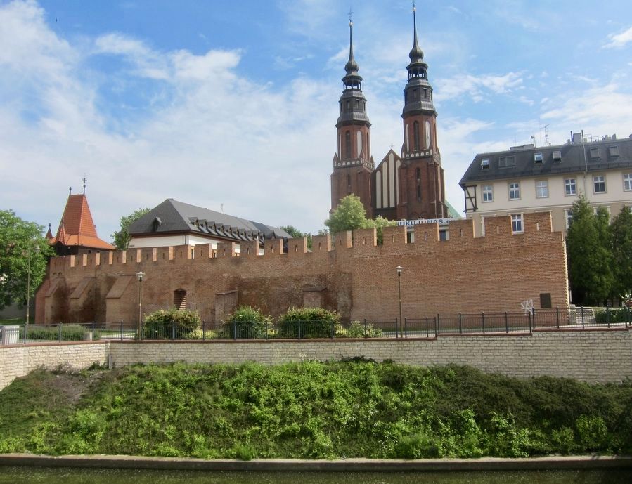
Mur o grubości 2,3 M. i wysokości 6,6 M. Wkonano w technice opus emplectum. Był to pierwotnie układ kurtynowy z 5 bramami miejskimi, z czasem obwód murów wzmocniono 14 basztami i barbakanem. Dzięki fortyfikacjom miesjkim miasto oparło się wielokrotnie najazdom wrogów.
W latach 1819-1820 zapadła decyzja o rozbiórce fortyfikacji. W 2009 r. wykonano rewaloryzację najlepiej zachowanego fragmentu muru z ukazaniem w nawierzchni jezdni ul. Katedralnej zarysu bramy miejskiej odrzanskiej zwanej też nyską.
-
Constructed at the initiative of Prince Bolka I, in stages from the second half of the 13th Century, on top of the wooden and earthic embankments from the 10th-12th Century. The walled area enclosed 16 hectares of the medieval town location.
The walls are 2.3 meters wide and 6.6 meters high,
In the years 1819-1820, the decision was made to demolish the fortifications. In 2009, a restoration of the best-preserved portion of the wall was carried out, tracing the Odra River (or Nysa) city gate at ul. Katedralna (Cathedral Street, i.e. the marker site).
Topics. This historical marker is listed in this topic list: Forts and Castles. A significant historical year for this entry is 2009.
Location. 50° 40.208′ N, 17° 55.112′ E. Marker is in Opole, Opolskie (Opole), in Opole Powiat. Marker is at the intersection of Księdza Stefana Baldego and Katedralna on Księdza Stefana Baldego. Touch for map. Marker is in this post office area: Opole, Opolskie 45-001, Poland. Touch for directions.
Other nearby markers. At least 8 other markers are within walking distance of this marker. Holy Cross Cathedral (about 90 meters away, measured in a direct line); Bank Ludowy / The People's Bank (about 150 meters away); Harcówka Związek Harcerstwa Polskiego / Polish Scouting Association Meeting Room (about 150 meters away); Pope Pius XI (about 180 meters away); Bronisław Koraszewski (about 180 meters
Also see . . . Opole – City Defensive Walls (medievalheritage.eu). (Submitted on June 20, 2018.)
Credits. This page was last revised on June 20, 2018. It was originally submitted on June 20, 2018, by Andrew Ruppenstein of Lamorinda, California. This page has been viewed 177 times since then and 15 times this year. Photos: 1, 2, 3. submitted on June 20, 2018, by Andrew Ruppenstein of Lamorinda, California.


