Pipestone in Pipestone County, Minnesota — The American Midwest (Upper Plains)
Connection to the Earth Mother
Photographed by Ruth VanSteenwyk, June 20, 2018
1. Connection to the Earth Mother Marker
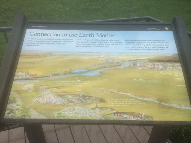
It's very spiritual. Your own personal connection to the earth mother, to the quartzite, to the pipestone rock…The benefit of it all is you get a sense of oneness with everything here."
Travis Erickson, quarrier
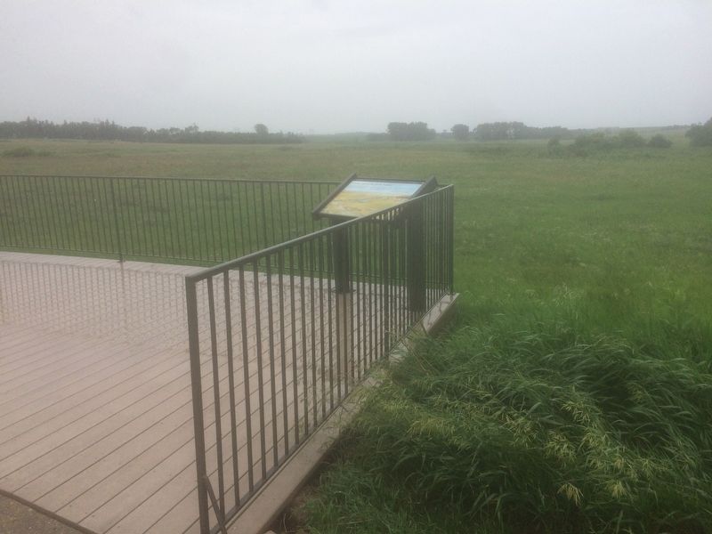
You are looking at piles of Sioux Quartzite rubble removed from quarries by American Indians seeking sacred pipestone. Three thousand years ago American Indians used stone tools to remove pipestone found near the surface.
Today quarriers use sledgehammers, steel wedges, and wheelbarrows to remove the hard quartzite rock found in quarries up to 15 feet deep. The hard physical labor of the past is much the same as the labor today - although the tools have improved, all the work is done by hand.
Erected by Pipestone National Monument, National Park Service, & US Department of the Interior.
Topics. This historical marker is listed in these topic lists: Indigenous Peoples and Communities • Industry & Commerce • Religion & Religious Structures.
Location. 44° 0.813′ N, 96° 19.559′ W. Marker is in Pipestone, Minnesota, in Pipestone County. It
this page online

Regionally, this marker is in Southwest Minnesota. It is also in the American Midwest, in the Corn Belt, and on the Great Plains. Globally, it is in North America, the Western Hemisphere, the Western World, and the Anglosphere. Historically, it finds itself in what was once Rupert’s Land, the territory of the Mississippian Culture, and the Louisiana Purchase.
Other nearby markers. At least 8 other markers are within walking distance of this marker: Pipestone Pilgrimage (here, next to this marker); Sustaining the Sacred (a few steps from this marker); Quarry Layers (about 300 feet away, measured in a direct line); Spotted Pipestone Quarry (about 500 feet away); Pipestone Creek (about 700 feet away); Prairie: Past and Present (approx. 0.2 miles away); The J.N. Nicollet Expedition Of 1838 (approx. 0.3 miles away); Nicollet's Inscription (approx. 0.3 miles away). Touch for a list and map of all markers
Photographed by Ruth VanSteenwyk, June 20, 2018
2. Connection to the Earth Mother Marker
Related markers. Click here for a list of markers that are related to this marker.
Also see . . .
1. Pipestone National Monument Cultural Landscape. National Park Service website entry (Submitted on June 22, 2018, by Ruth VanSteenwyk of Aberdeen, South Dakota.)
2. Pipestone National Monument. Wikipedia entry:
Links to National Register of Historic Places Nomination Form (Submitted on May 25, 2024, by Larry Gertner of New York, New York.)

Photographed by William Fischer, Jr., September 16, 2026
3. Connection to the Earth Mother Marker

Photographed by Ruth VanSteenwyk, June 20, 2018
4. Pipestone National Monument Visitor Center
Photographed by Larry Gertner, 2012
5. Pipestone National Monument Visitor Center
Credits. This page was last revised on September 26, 2026. It was originally submitted on June 22, 2018, by Ruth VanSteenwyk of Aberdeen, South Dakota. This page has been viewed 375 times since then and 39 times this year. Photos: 1, 2. submitted on June 22, 2018, by Ruth VanSteenwyk of Aberdeen, South Dakota. 3. submitted on September 26, 2026, by William Fischer, Jr. of Reynoldsburg, Ohio. 4. submitted on June 22, 2018, by Ruth VanSteenwyk of Aberdeen, South Dakota. 5. submitted on May 25, 2024, by Larry Gertner of New York, New York. • Andrew Ruppenstein was the editor who published this page.
