Canby in Yellow Medicine County, Minnesota — The American Midwest (Upper Plains)
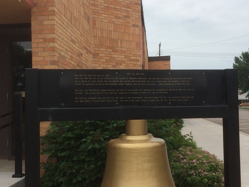
Old City Hall Bell
The old City Hall was built in 1892.
The City Hall bid was let for $5,324 to J.D. Carroll of Mankato, Minnesota. He ran short of materials and for a time there was a threat of court action but the matter was settled and in December the City Council gave the builder a check for $5,597 for payment in full on the building stage flagpole and all extra work done. Canby population in 1892 was 616.
The new City Hall/Library (approximately one half of the present city building) was completed in March of 1960 at a cost of $52,899. The second half of City Hall was completed in October of 1980 at a cost of $250,000.
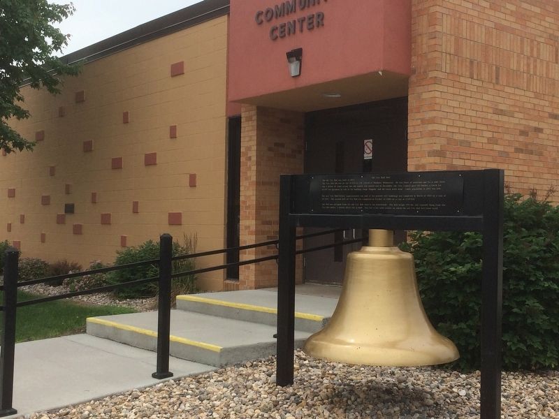
The bell was salvaged from the old City Hall when it was demolished. The bell weighs 970 lbs. and originally hung from the City Hall belfry 3 stories above the ground. This site is the same corner on which the old City Hall bell tower stood.
Topics and series. This historical marker is listed in this topic list: Settlements & Settlers. In addition, it is included in the Historic Bells series list. A significant historical month for this entry is March 1960.
Location. 44° 42.523′ N, 96° 16.458′ W. Marker is in Canby, Minnesota, in Yellow Medicine County. Marker is at the intersection of 2nd St E and Oscar Ave N on 2nd St E. Located in front of the Canby Community Center. Touch for map. Marker is at or near this postal address: 214 2nd St E, Canby MN 56220, United States of America. Touch for directions.
Other nearby markers. At least 2 other markers are within 16 miles of this marker, measured as the crow flies. Lake Hendricks Norwegian Colony of 1873 / Brookings County (approx. 15.4 miles away in South Dakota); Singsaas Lutheran Church (approx. 15.7 miles away in South Dakota).
Credits. This page was last revised on June 24, 2018. It was originally submitted on June 22, 2018, by Ruth VanSteenwyk of Aberdeen, South Dakota. This page has been viewed 436 times since then and 41 times this year. Photos: 1, 2. submitted on June 22, 2018, by Ruth VanSteenwyk of Aberdeen, South Dakota. • Andrew Ruppenstein was the editor who published this page.

