Clinton in Hinds County, Mississippi — The American South (East South Central)
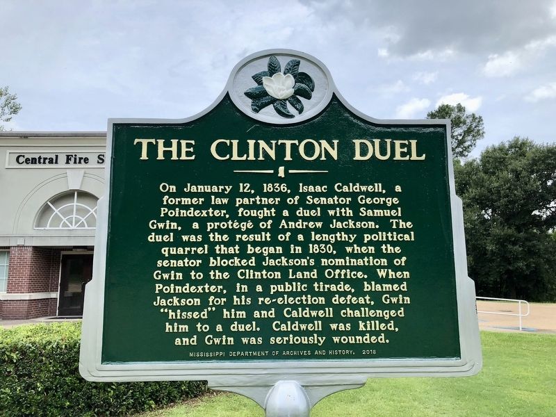
The Clinton Duel
Photographed by Mark Hilton, June 24, 2018
1. The Clinton Duel Marker
Erected 2018 by Mississippi Department of Archives and History.
Topics and series. This historical marker is listed in these topic lists: Government & Politics • Notable Events. In addition, it is included in the Former U.S. Presidents: #07 Andrew Jackson, and the Mississippi State Historical Marker Program series lists. A significant historical date for this entry is January 12, 1836.
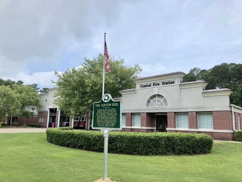
Location. 32° 19.868′ N, 90° 20.337′ W. Marker is in Clinton, Mississippi, in Hinds County. It is on Clinton Raymond Road 0.2 miles south of Interstate 20, on the right when traveling south. Located in front of the Central Fire Station. Touch for map.
this page online

Regionally, this marker is in Natchez Trace Corridor and in Greater Jackson. It is also in the American South and specifically in the Deep South. Globally, it is in North America, a Gulf of Mexico state, the Western Hemisphere, the Western World, and the Anglosphere. Historically, it finds itself in what was once the territory of the Mississippian Culture, one of the Confederate States of America, and the Antebellum South.
Other nearby markers. At least 8 other markers are within walking distance of this marker: Benjamin Whitfield (approx. 0.6 miles away); “Love is Immortal” (approx. 0.6 miles away); Mississippi College (approx. 0.6 miles away); Provine Chapel (approx. 0.7 miles away); Jennings Hall (approx. 0.7 miles away); Covenant of Cooperation (approx. 0.7 miles away); Tanglewood (approx. ¾ mile away); Natchez Trace Crossing (approx. ¾ mile away). Touch for a list and map of all markers in Clinton.
Photographed by Mark Hilton, June 24, 2018
2. The Clinton Duel Marker at the Clinton Central Fire Station.
Photographed by Mark Hilton, June 24, 2018
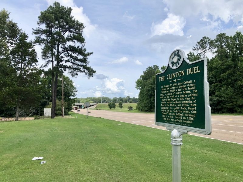
3. View from marker north towards Interstate 20.
Credits. This page was last revised on October 2, 2020. It was originally submitted on June 24, 2018, by Mark Hilton of Montgomery, Alabama. This page has been viewed 977 times since then and 69 times this year. Photos: 1, 2, 3. submitted on June 24, 2018, by Mark Hilton of Montgomery, Alabama.
