Newcastle in Placer County, California — The American West (Pacific Coastal)
Town of Ophir
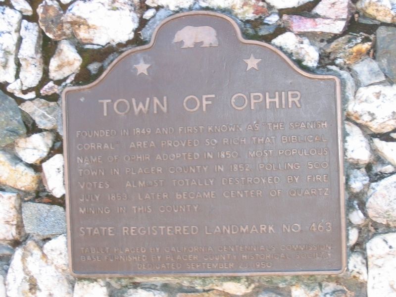
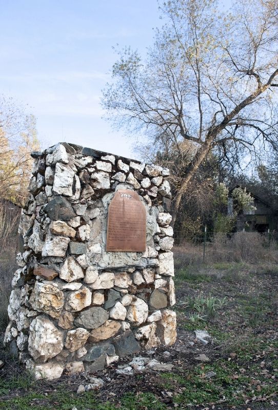
(Original marker, which was stolen in 2012. See Photo #1)
Founded in 1849 as 'The Spanish Corral,' Area proved so rich that Biblical name of Ophir adopted in 1850. Most populous town in Placer County in 1852, polling 500 votes. Almost totally destroyed by fire in July 1853. Later became the center of quartz mining in this county.
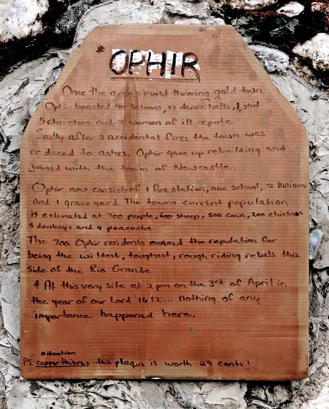
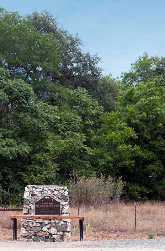
Second - Temporary Marker - Placed by the residents of Ophir. See Photo #2
Once the areas most thriving gold town, Ophir boasted 40 saloons, 12 dance halls, 1 jail, 5 churches and 2 women of ill repute. Sadly after 3 accidental fires the town was reduced to ashes. Ophir gave up rebuilding and joined with the town of Newcastle. Ophir now consists of 1 fire station, one school, 2 businesses and 1 grave yard. The towns current population is estimated at 700 people, 600 sheep, 500 cows, 200 chickens, 5 donkeys and 4 peacocks. The 700 Ophir residents earned the reputation for being the wildest, toughest, rough riding rebels this side of the Rio Grande * At this very site at 2PM on the 3rd of April in the year of our Lord 1612... nothing of any importance happened here.
Attention
P. S.: Copper thieves this plaque is worth 29 cents!
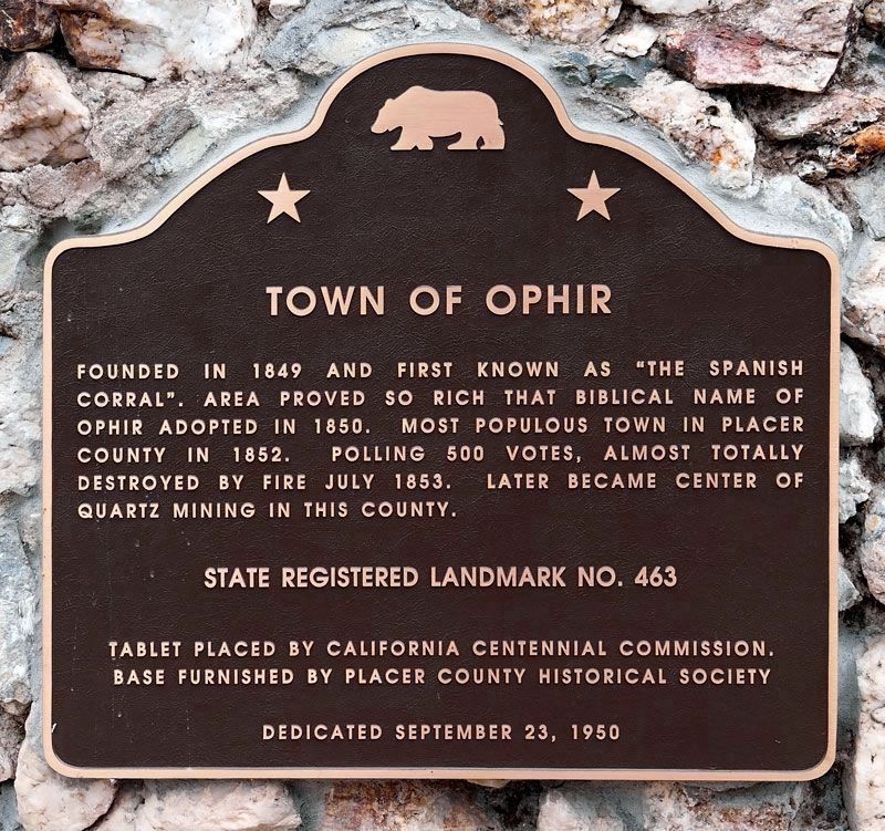
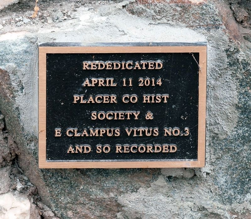
Replacement Marker - Dedicated April 14, 2012. See Photo #3.
Founded in 1849 as 'The Spanish Corral,' Area proved so rich that Biblical name of Ophir adopted in 1850. Most populous town in Placer County in 1852, polling 500 votes. Almost totally destroyed by fire in July 1853. Later became the center of quartz mining in this county.
Erected 1950 by The California Centennial Commission and E Clampus Vitus. Based furnished by Placer County Historical Society. Dedicated September 23, 1950. (Marker Number 463.)
Topics and series. This historical marker is listed in these topic lists: Industry & Commerce • Landmarks • Natural Resources • Notable Places • Settlements & Settlers. In addition, it is included in the California Historical Landmarks, and the E Clampus Vitus series lists. A significant historical month for this entry is July 1853.
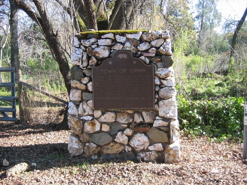
Location. 38° 53.477′ N, 121° 7.474′ W. Marker is in Newcastle, California, in Placer County. Marker is at the intersection of Lozanos Road and Bald Hill Road, on the right when traveling north on Lozanos Road. Touch for map. Marker is in this post office area: Newcastle CA 95658, United States of America. Touch for directions.
Other nearby markers. At least 8 other markers are within 3 miles of this marker, measured as the crow flies. Lincoln Highway (approx. 1.2 miles away); Wise Power Plant (approx. 1.2 miles away); First Transcontinental Railroad (approx. 1.2 miles away); Newcastle Portuguese Hall (approx. 1˝ miles away); Bloomers Cut (approx. 2.4 miles away); Jean Baptiste Charbonneau (approx. 2.4 miles away); Claude Chana
(approx. 2˝ miles away); City of Auburn (approx. 2˝ miles away). Touch for a list and map of all markers in Newcastle.
More about this marker. This site has been designated as California Registered Historical Landmark No.463.
Also see . . .
1. Beach California: Ophir, California. (Submitted on September 29, 2008, by Syd Whittle of Mesa, Arizona.)
2. Ophir’s landmark plaque back in place after theft. (Submitted on April 30, 2014, by Lester J Letson of Fresno, California.)
Credits. This page was last revised on November 2, 2020. It was originally submitted on September 29, 2008, by Syd Whittle of Mesa, Arizona. This page has been viewed 1,809 times since then and 60 times this year. Photos: 1. submitted on September 29, 2008, by Syd Whittle of Mesa, Arizona. 2. submitted on August 16, 2014, by Alvis Hendley of San Francisco, California. 3. submitted on July 11, 2016, by Alvis Hendley of San Francisco, California. 4. submitted on September 29, 2008, by Syd Whittle of Mesa, Arizona. 5. submitted on August 16, 2014, by Alvis Hendley of San Francisco, California. 6, 7. submitted on July 11, 2016, by Alvis Hendley of San Francisco, California.
